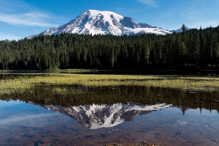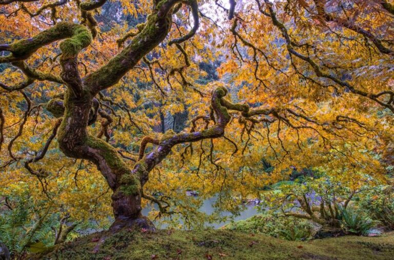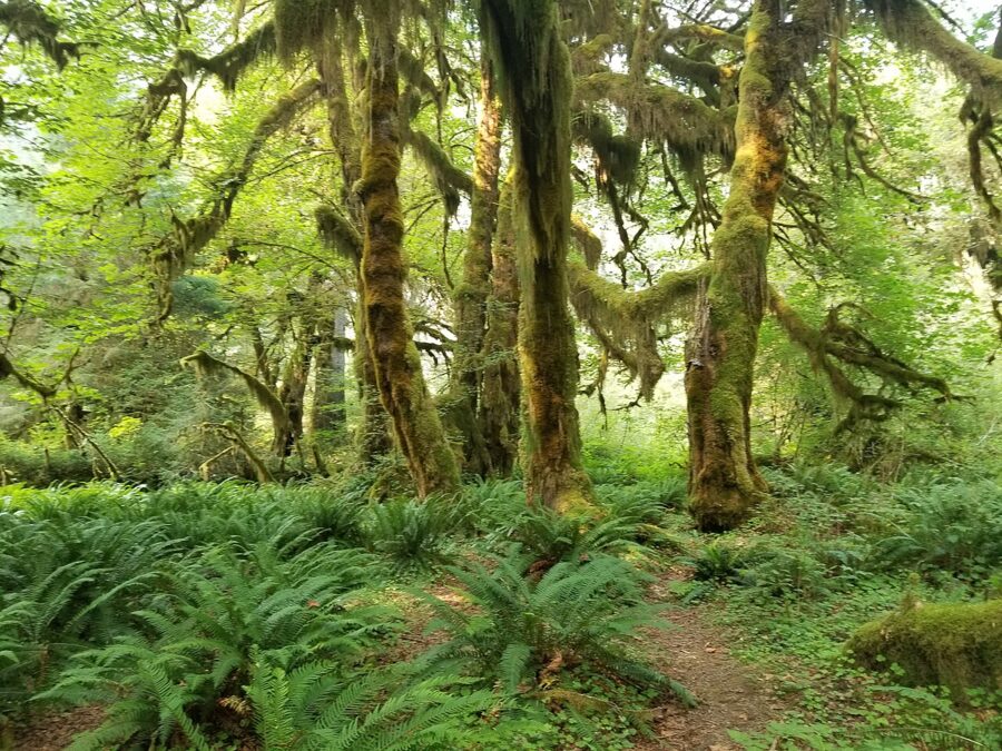
The Hoh Rain Forest averages about 140 inches of rain a year, and the Hall of Mosses photographs best on exactly the kind of gray, dripping morning that sends people back to their cars. Cloud turns the canopy into one huge softbox. The moss glows instead of burning out, and the wet bark goes from brown to nearly black.
That is the first rule of Olympic National Park: the weather that ruins one subject makes another. Fog that hides Hurricane Ridge sits in the trees at Ruby Beach and makes the sea stacks look like stage flats. Wind that wrecks a reflection on Lake Crescent does nothing to a waterfall. So I plan a trip here by subject, then let the forecast and the tide table decide the order.
Contents8 parts
How the park fits together
Olympic covers 922,650 acres, and no road crosses the middle of it. The mountains sit in the center as a roadless block, and Highway 101 wraps around the outside, so each of the places photographers come for is a short spur off that loop. You don’t drive through Olympic. You drive around it and poke in.
Most trips start in Seattle and reach the peninsula by ferry across Puget Sound or by road through Tacoma. Port Angeles, the park’s headquarters town on the north shore, is the base for Hurricane Ridge and Lake Crescent; Forks, on the west side, is the base for the coast and the Hoh.
The rock explains a lot of what you’ll photograph. The Olympic Mountains began as sediment and basalt on the ocean floor, laid down 18 to 57 million years ago, and were scraped up and folded into peaks as the Juan de Fuca plate slid under North America. Mount Olympus, the highest of them, reaches 7,980 feet (2,432 m). On the coast, the sea stacks are hard blocks of volcanic and marine rock left standing after the waves wore away the softer mudstone around them.
Lake Crescent: calm water and which shore to stand on
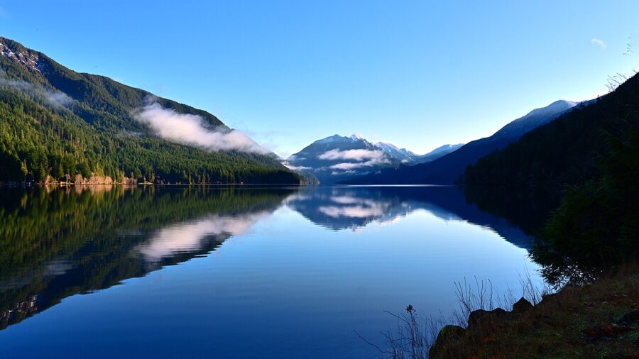
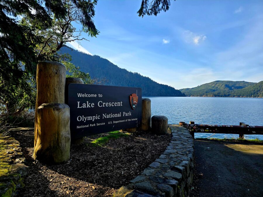
Lake Crescent lies about 18 miles west of Port Angeles, and Highway 101 runs right along its south shore. Glaciers carved the valley; about 7,000 years ago a landslide cut it in two, leaving Lake Crescent and the smaller Lake Sutherland. The park gives its official depth as 624 feet (190 m).
The lake holds very little nitrogen, which starves the algae that would cloud it, so in places you can see about 60 feet (18 m) down. Over pale gravel near shore that reads green; over deep water it turns blue.
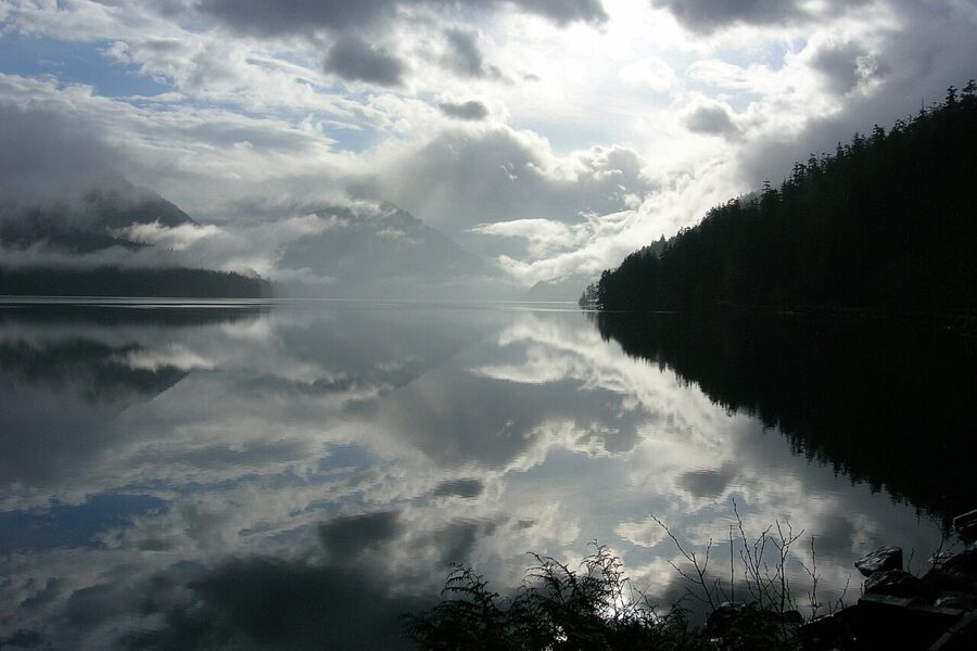
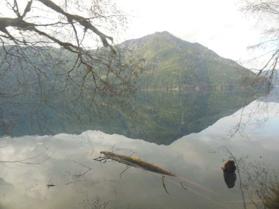
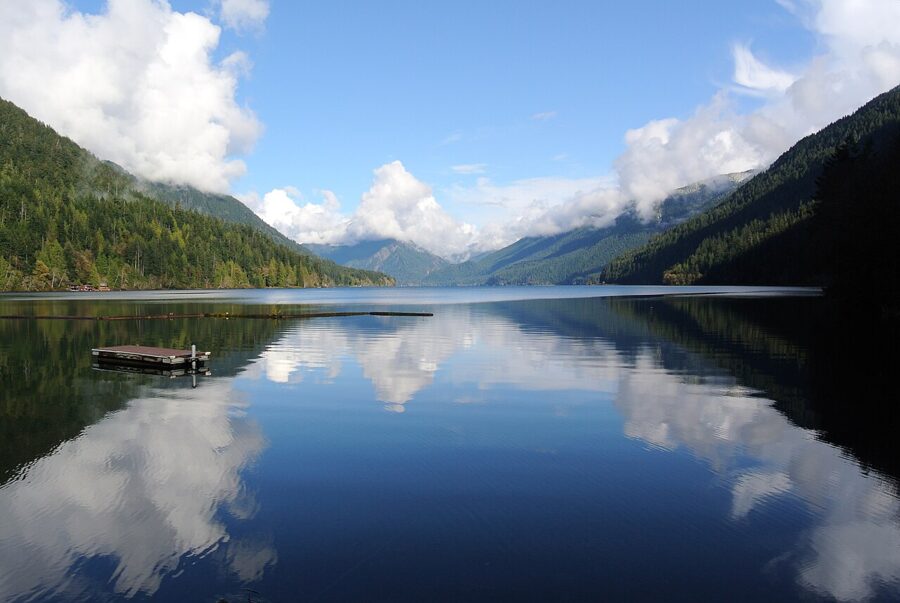
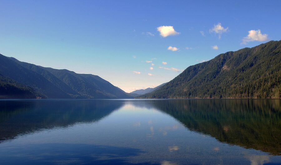
Reflections need still air, and the stillest hour is usually the first one. I’d be at the water by first light and stay until the surface starts to shiver. Overcast mornings work as well as clear ones: the cloud fills the top of the frame and its double fills the bottom.
The Highway 101 pullouts
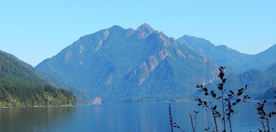
The fastest views are from the road. Pullouts along the south shore look across the water to Pyramid Mountain on the north side and back east to Mount Storm King, the steep peak that rises over the lake’s east end. Eagle Point, toward the west end, looks straight down a long reach of water. The road is narrow and winding, so use the marked pullouts, never the shoulder, and keep to the speed limit the park asks for.
Lake Crescent Lodge and Barnes Point
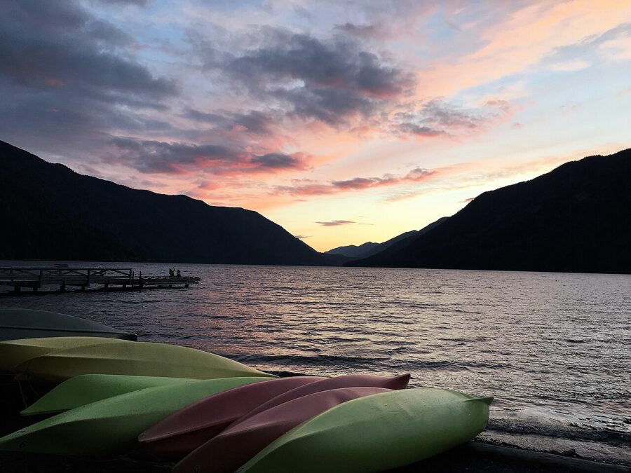
Lake Crescent Lodge sits on Barnes Point, a flat spit on the south shore just off Highway 101. Its beach faces west down the length of the lake, which makes it the sunset spot on Lake Crescent, with the hills stacked in silhouette on both sides. The lodge rents rowboats, and the park’s advice on the water is short: the lake is deep and very cold, so wear a life jacket. It’s a seasonal operation, generally open late spring to early fall, so check before you plan a winter stay around it.
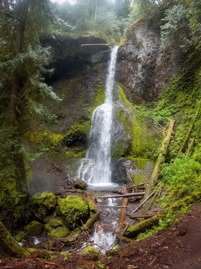
From the lodge area the Barnes Creek trail leads to Marymere Falls: 0.9 miles one way through old growth, about 400 feet of climbing, and a 90-foot (27 m) fall at the end. It’s a gray-day subject. Bring a tripod for a slow shutter, because the falls sit in a shaded gully where the light drops fast.
Mount Storm King and the north shore
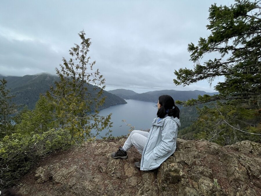
For the view down onto the lake, climb Mount Storm King. The park lists it at 2.2 miles one way with 2,000 feet of gain, most of it in steep switchbacks, and the reward is the lake laid out below you like a map. Start early in summer, before the lake below goes hazy in the afternoon warmth.
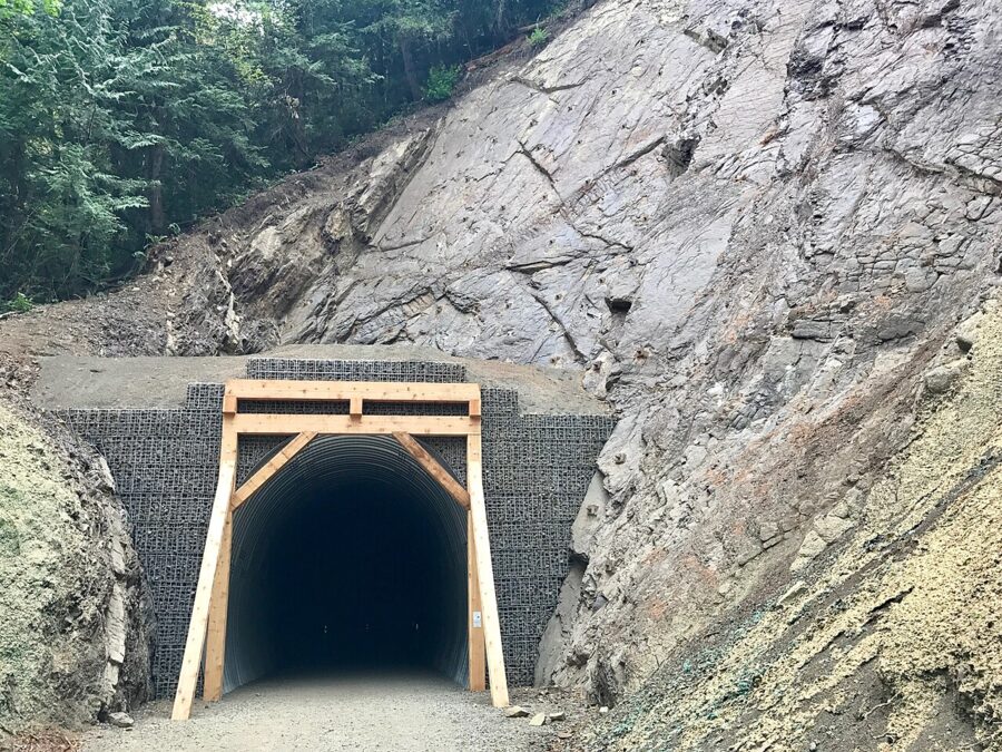
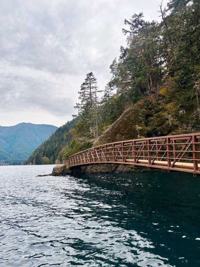
Across the water, the Spruce Railroad Trail follows an old rail bed along the north shore for 4 miles, paved and nearly level, with two old railroad tunnels on the way. It’s the easiest way to get your lens right down at the waterline, and you can walk it with a bicycle or a leashed dog.
The Hoh Rain Forest
The Hoh is the one place in the park where getting in is half the work. The forest is easy to cover; the road and the gate are not.
The road in, and the line at the gate
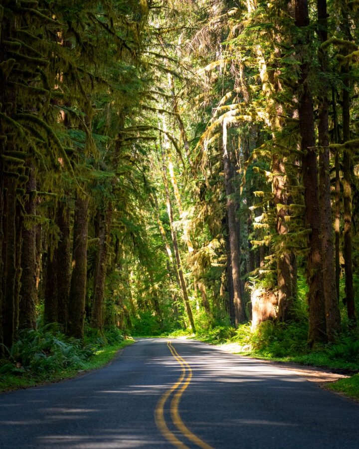
The Upper Hoh Road leaves Highway 101 south of Forks and runs 18 miles to the visitor center at its end. The first 12 miles are outside the park, through second-growth forest and pasture. The park puts the Hoh under an hour from Forks and about two and a quarter hours from Port Angeles.
Parking is the bottleneck. In summer the park warns that the wait at the entrance can reach two hours, and it suggests arriving before 8 a.m. or after 5 p.m. For photography that advice costs you nothing: early and late are the softest hours under the trees anyway.
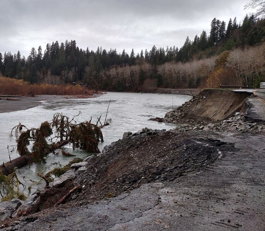
The road itself is fragile. In December 2024 Jefferson County closed it after a washout at milepost 9.7, and with no other way in, the whole Hoh area shut until repairs were done. As of November 2026 the area, trails, parking and restrooms are open; the visitor center is closed for November and opens Friday to Sunday, 9 a.m. to 4 p.m., from December 4.
The Hall of Mosses
The Hall of Mosses is a 0.8-mile (1.2 km) loop from the visitor center, and its center is a grove of old bigleaf maples hung with moss. The branches grow out sideways, the moss hangs from them in sheets, and the effect is a room with green curtains. Nurse logs, fallen trees with young hemlocks and spruce growing in a row along their backs, line the path.
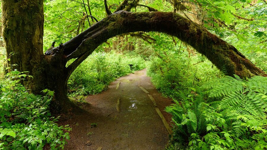
Light is the whole game here. Direct sun punches white holes through the canopy and leaves the trunks in black, so a bright day is the time to shoot detail in the shade, not the wide view. On an overcast day the contrast drops to something a camera can hold, and a polarizer takes the shine off wet leaves so the greens come back. That polarizer and a tripod decide the shot in the Hoh; the light is too low for a sharp handheld frame at a small aperture.
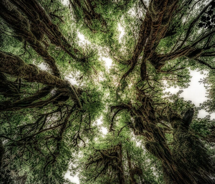
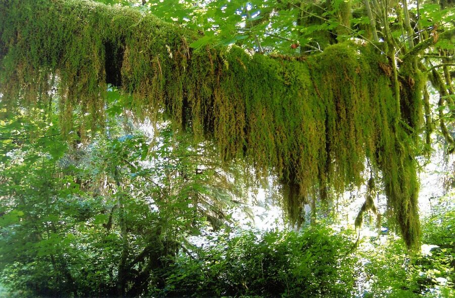
Stay on the trail: the moss is slow to grow back.
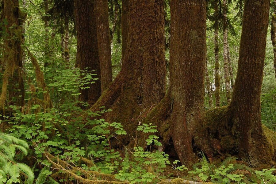
The Spruce Nature Trail, the river and the elk
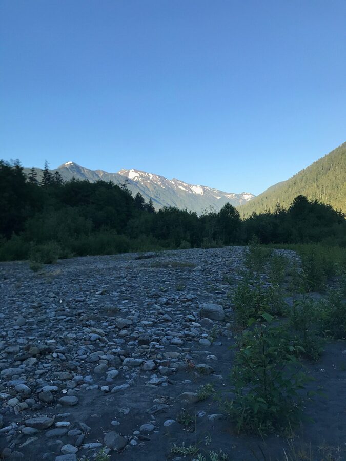
The Spruce Nature Trail is a 1.2-mile loop that runs out to Taft Creek and the Hoh River, through older and younger forest. It’s the better choice if you want water in the frame. For the big river shots, the Hoh River Trail heads 17.3 miles upstream to Glacier Meadows, and a longer day hike up it reaches open gravel bars with the peaks above.
The park estimates 400 to 500 Roosevelt elk live in the Hoh Valley, and their grazing is part of why the forest floor stays open. Keep at least 50 yards (46 m) away, which means a telephoto, not a phone. I’d look for them early, along the road and the river flats.
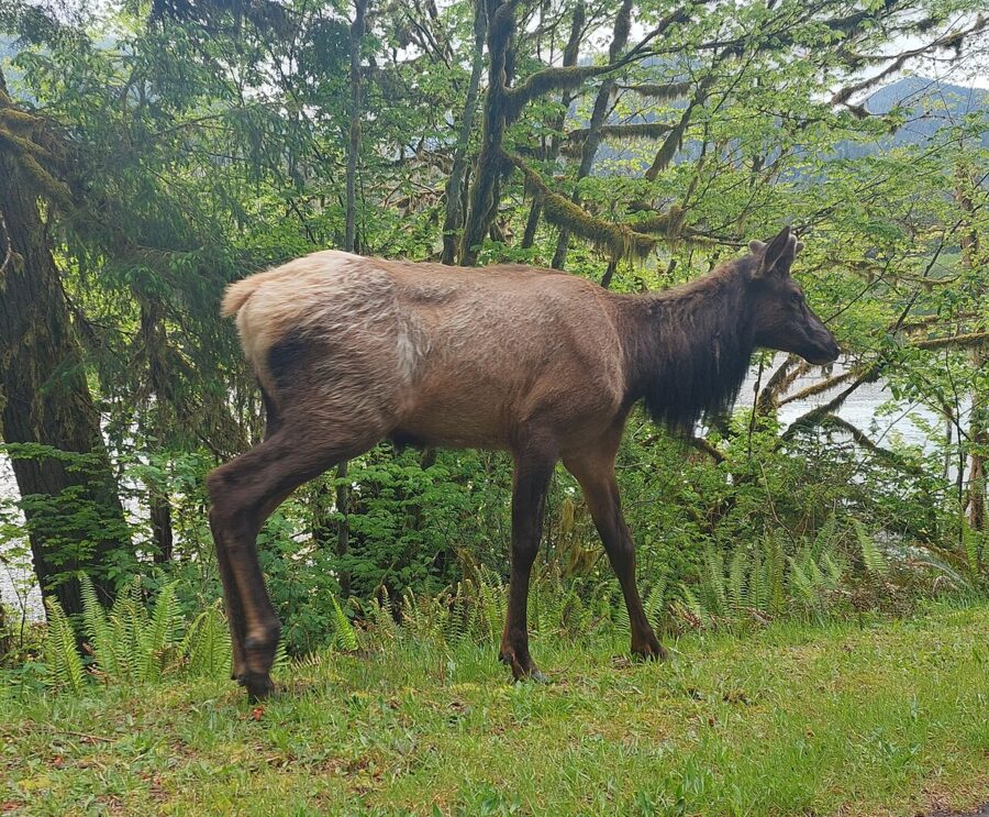
The coast: Ruby Beach, Kalaloch and Rialto
The Olympic coast faces west, so sunset is the main event and sunrise happens behind you, over the forest. The beaches are cobble, sand and piled driftwood, with sea stacks offshore. They’re best at low tide, and some of them are only safe at low tide.
Read the tide table before the forecast
Every coastal plan here starts with a tide chart for the date. The park’s guidance for tidepools is a tide lower than 1 foot; a 3-foot low tide isn’t much use, and a minus tide is best. For Hole-in-the-Wall it asks you to arrive at least 30 minutes before the lowest point of the tide. NOAA publishes tide predictions for La Push, and the park lists Destruction Island tides for the Pacific coast.
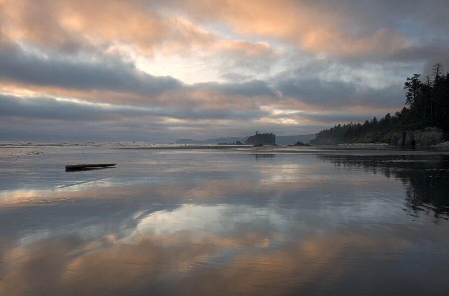
Low tide matters for pictures too: the wet sand it leaves is a mirror for sea stacks and sunset color. The park warns that parts of the coast become impassable when the tide comes in, so know when it turns before you walk away from the car.
The other hazards are on the park’s list for a reason: sneaker waves that run far up the beach, algae that makes rock slick, and falling rock under the arches. I’d add the drift logs. They’re the classic foreground, and a wave big enough to float one can roll it onto your leg, so stay off them when the surf reaches the log line.
Ruby Beach
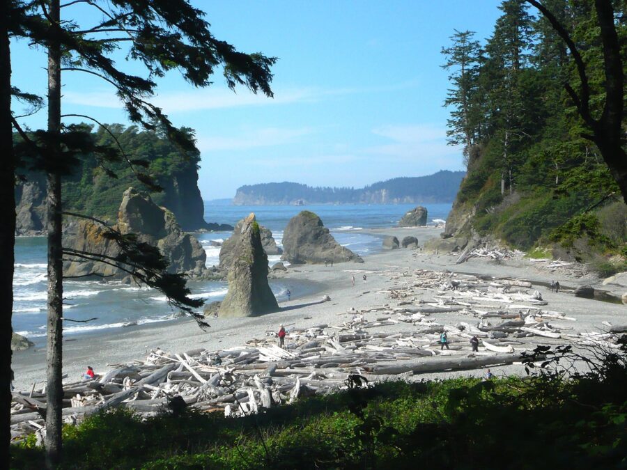
Ruby Beach is the northernmost beach in the Kalaloch area, right off Highway 101, and the easiest to reach. A gravel path drops 735 feet from the parking lot, steep at the top and gentler lower down, and it’s the only beach access in the area wide enough for a wheelchair. An accessible overlook at the north end of the lot looks out over the water.
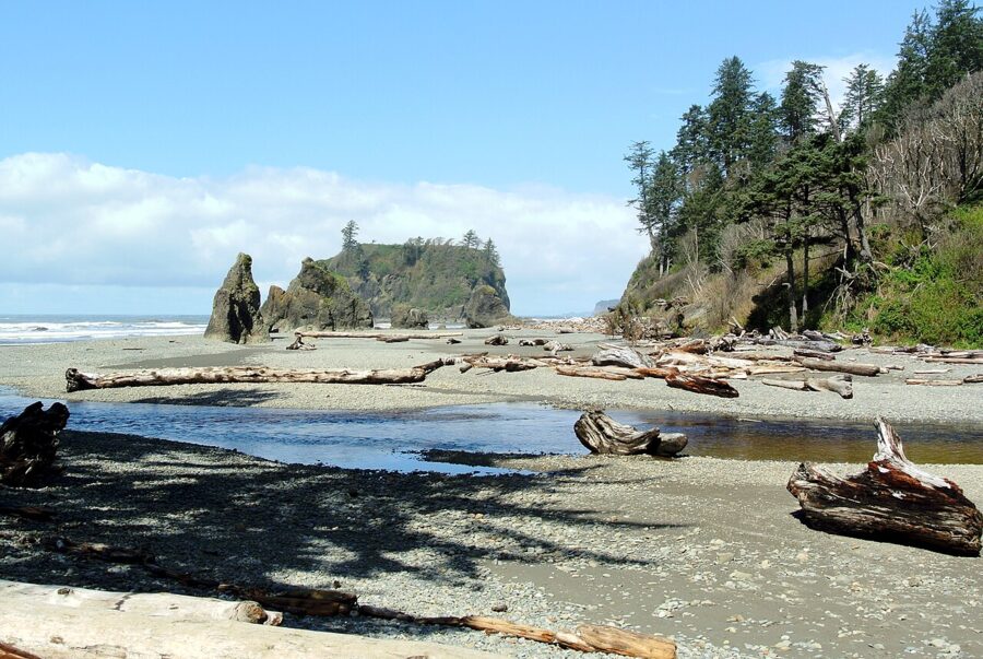
The main subject is Abbey Island, a big, flat-topped stack with trees on it, sitting just offshore with smaller spires around it. Cedar Creek runs out across the beach in front of it. Come for the last hour before sunset with the tide falling, and work the wet sand for reflections.
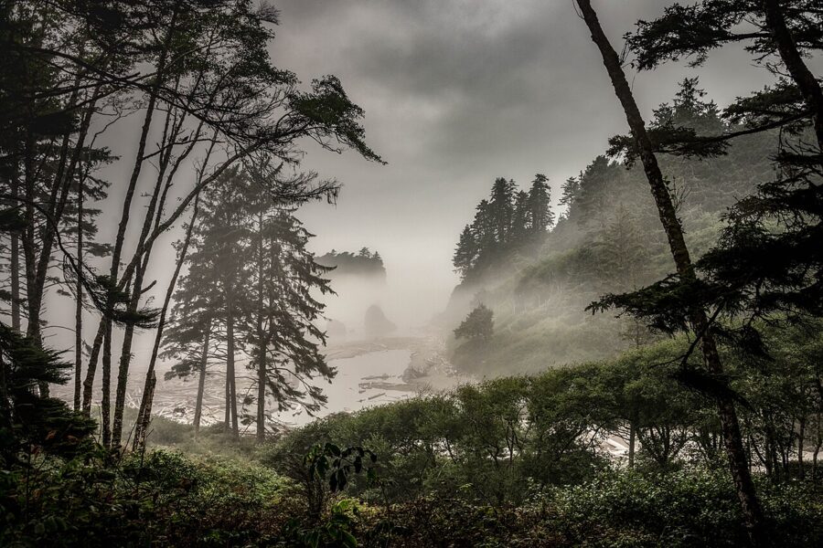
Summer fog is common along this coast and can sit there all day even when it’s sunny inland. Don’t drive away from it. Fog strips the sea stacks down to shapes, and the spruce on the bluff give you a dark frame for them.
Kalaloch and Beach 4
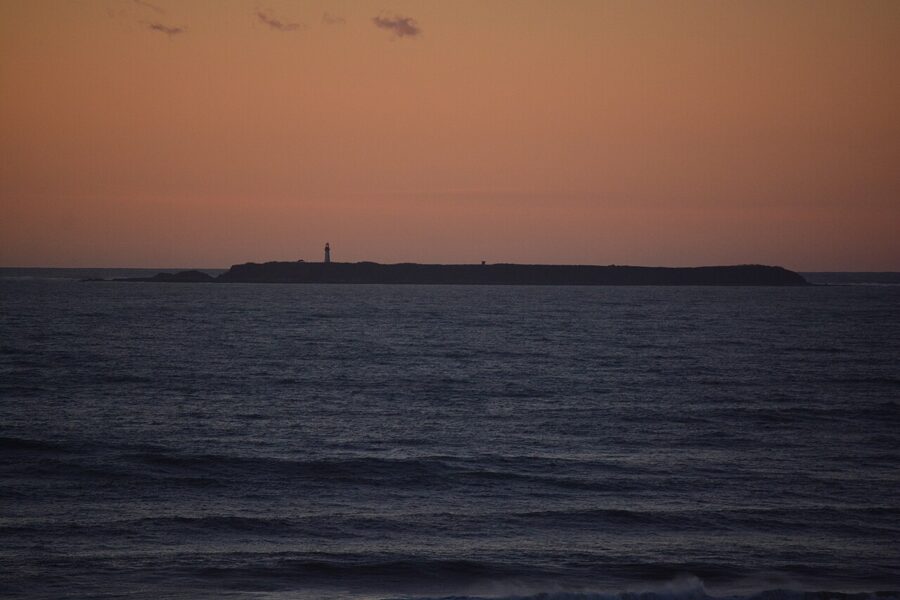
South of Ruby, Highway 101 runs along the bluff past a string of numbered beach accesses. Beach 4 is the one for tidepools, with sea stars and anemones of many colors at low tide, and Destruction Island sits on the horizon with its lighthouse. Kalaloch Lodge has rooms and cabins right above the beach, about 45 minutes from the Hoh.
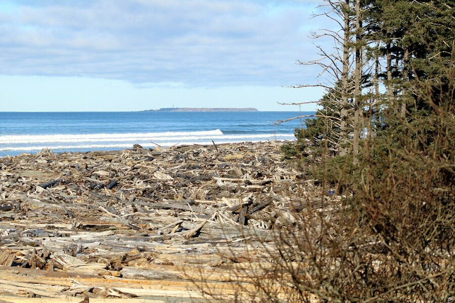
Rialto Beach and Hole-in-the-Wall
Rialto Beach is at the end of Mora Road, off the road to La Push, and the park puts it less than 30 minutes from Forks. Mora Road was closed beyond Mora Campground from July 8 to October 5, 2026, while crews repaired a riverbank the Quillayute River had eaten into. As of mid-November 2026 it’s open to Rialto again.
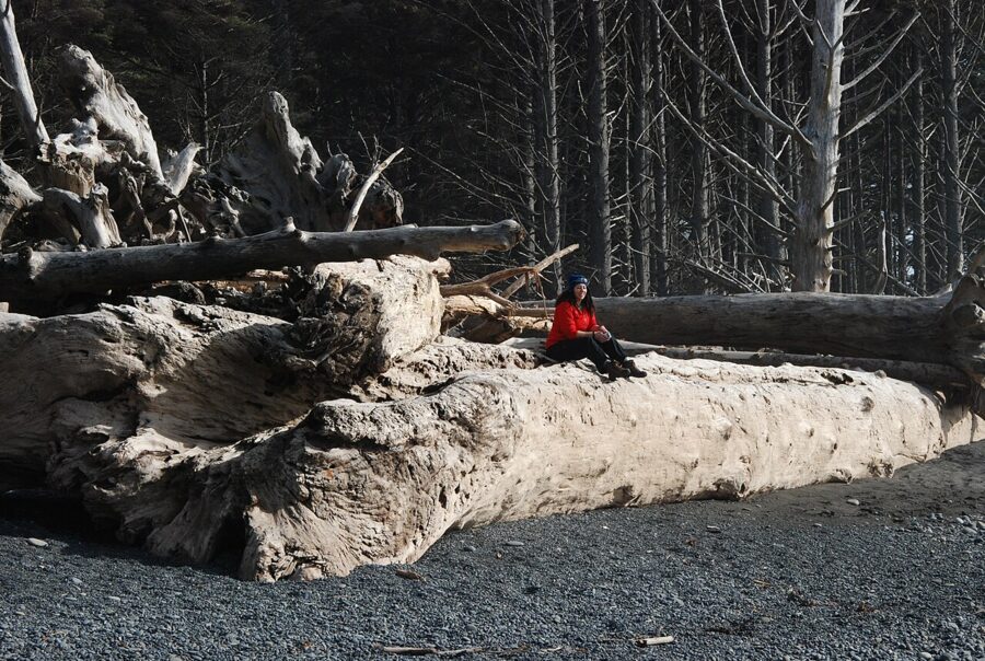
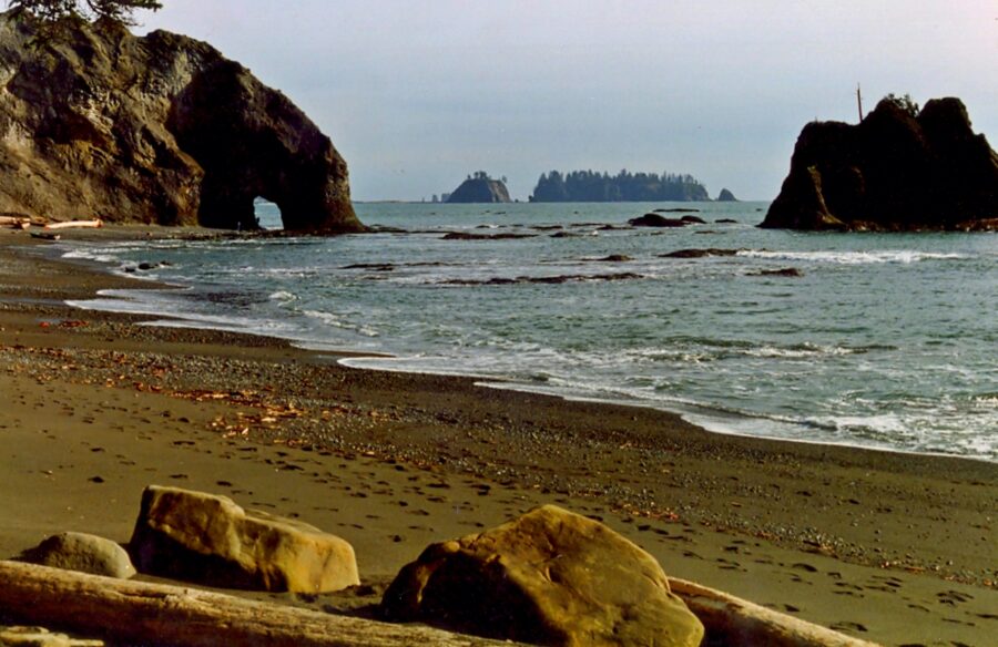
The beach is steep dark gravel, backed by bleached logs the size of telephone poles, with sea stacks standing offshore. Sunset is the obvious time. On a clear evening the sun drops into the sea behind the stacks, and the gravel throws back a band of orange as each wave pulls out.
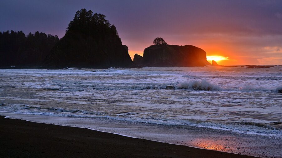
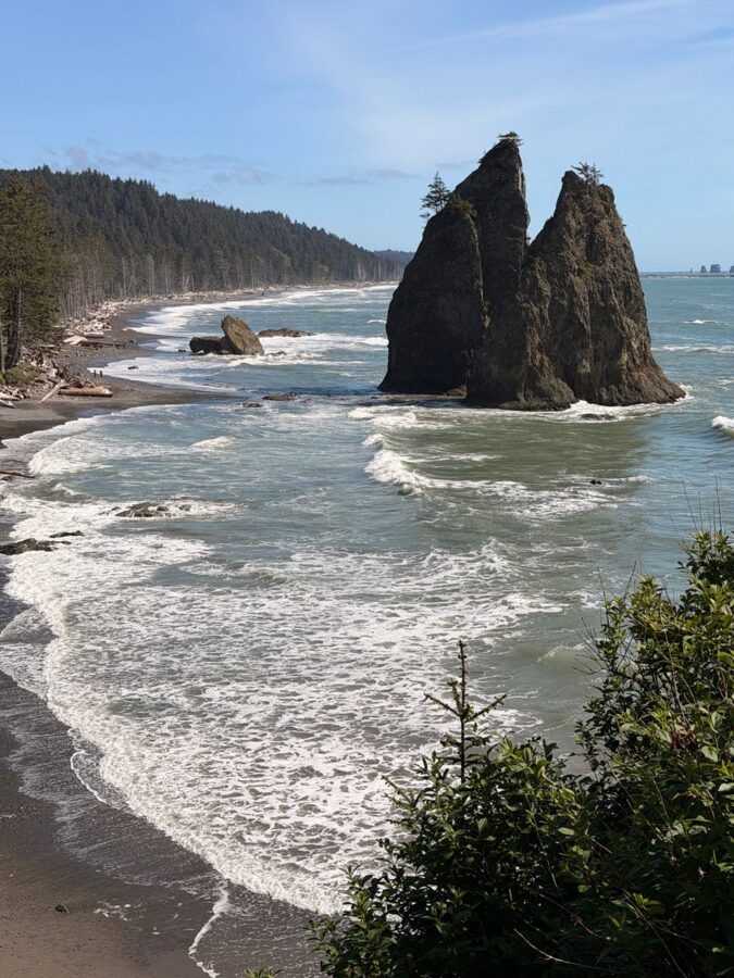
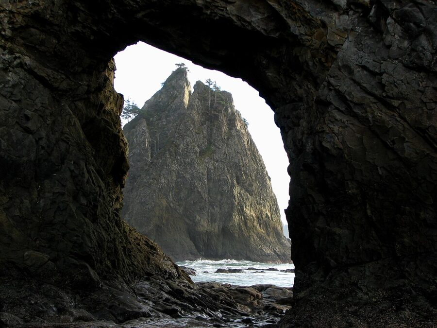
Hole-in-the-Wall is a sea-carved arch about 1.5 miles north along the beach, which the park reckons at about an hour’s walk. You can only walk through it at low tide. The park’s rules are clear: arrive at least 30 minutes before the lowest tide, don’t go through once water starts covering the floor of the arch, and don’t hang around underneath it, because rock falls from the roof.
Second Beach
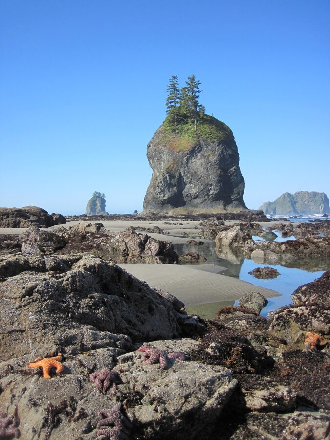
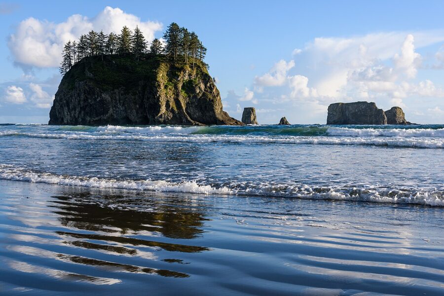
Second and Third beaches lie just south of Rialto, across the mouth of the Quillayute River, so you can’t walk to them from Rialto; you drive back out and around on the La Push Road. First Beach belongs to the Quileute Indian Reservation, while Second and Third are part of the park’s wilderness coast. The park lists Second Beach among its best tidepool spots, and its sea stacks line up nicely with a western sunset.
Hurricane Ridge since the 2023 lodge fire
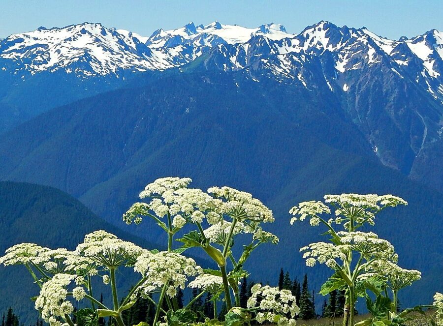
Hurricane Ridge is 17 miles south of Port Angeles at the end of Hurricane Ridge Road, about 45 minutes’ drive, and puts you at about 5,200 feet. It’s the one place in the park where you can drive to the high country. From the top, the Olympus massif fills the view to the southwest beyond the Bailey Range, and on the other side the land drops to Port Angeles and the Strait of Juan de Fuca.
What’s there now
On May 7, 2023, the Hurricane Ridge Day Lodge burned to its foundation. The 12,201-square-foot building from the 1950s held the exhibits, a gift shop, a small café and the winter ski and snowshoe rentals, and none of it is there now. Temporary trailers provide restrooms, and no food or souvenirs are sold.
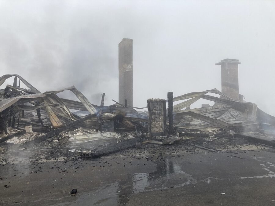
In 2026 the park is also replacing the ridge’s water system and upgrading utilities. While that work runs, there’s no drinking water on Hurricane Ridge, portable toilets stand in for the restrooms, and short rolling closures are possible for paving. Fill your bottles in Port Angeles before you drive up.
Road access by season
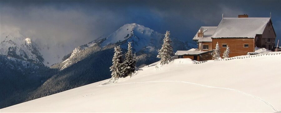
In summer the road is open throughout. In winter the park schedules it Friday to Sunday plus holiday Mondays, weather and road conditions permitting, and closes it the other days; every vehicle has to carry tire chains. As of November 20, 2026, Hurricane Ridge Road was closed for ice and rockfall with no reopening date set, so check the park’s alerts before you go.
The side roads are seasonal. Hurricane Hill Road and Obstruction Point Road are closed for the season as of November 2026; Obstruction Point, a gravel road that branches off at the main parking area, normally opens from mid-June to October 15, snow permitting. Neither is suitable for RVs or buses. In summer Clallam Transit runs a route between downtown Port Angeles and the ridge, which saves you the parking hunt.
Where to stand on the ridge
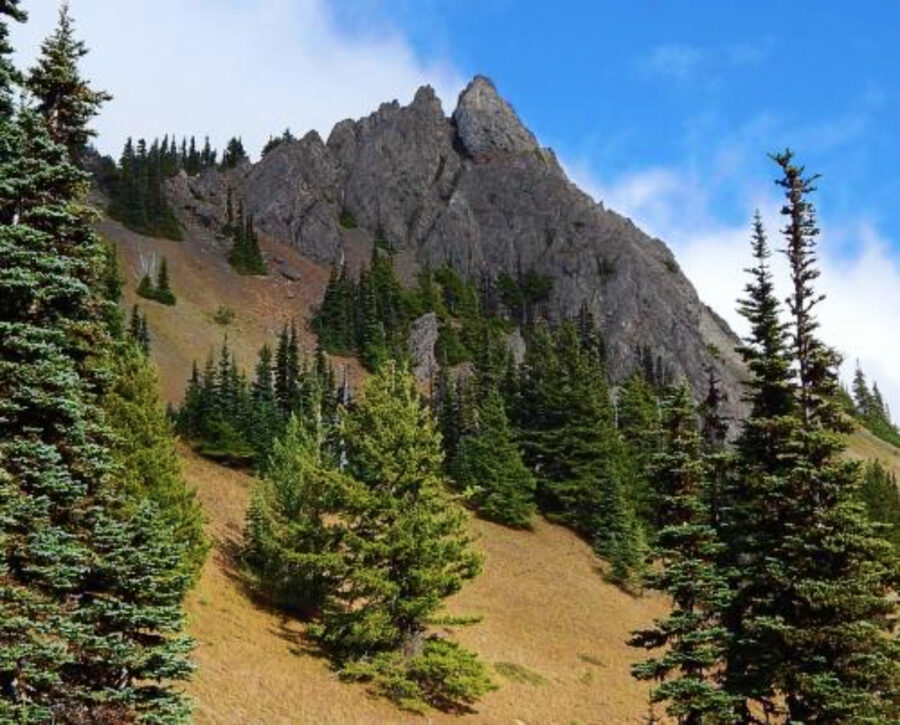
The trails from the parking area are short and mostly paved. Cirque Rim (0.5 miles one way) looks north over Port Angeles and the strait; Big Meadow (0.25 miles) looks south across the meadows to the range. High Ridge is a 0.5-mile loop with a view all the way around, and a 0.1-mile spur off it leads to Sunrise Point, which is exactly where its name says to be.
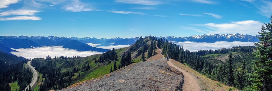
Hurricane Hill is the bigger walk: 1.6 miles one way on a paved trail with about 700 feet of climbing, from the end of Hurricane Hill Road. It’s paved but not easy, with most of the climb packed into the upper section. Summer meadows along it fill with lupine, and the top looks out over mountains and saltwater in one sweep.
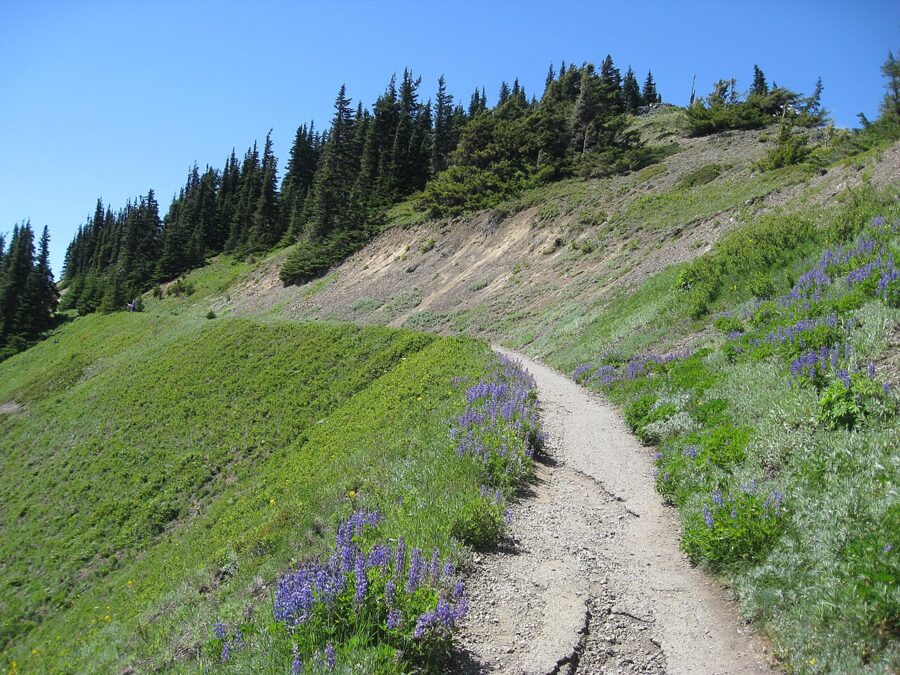
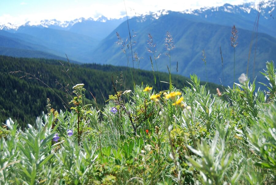
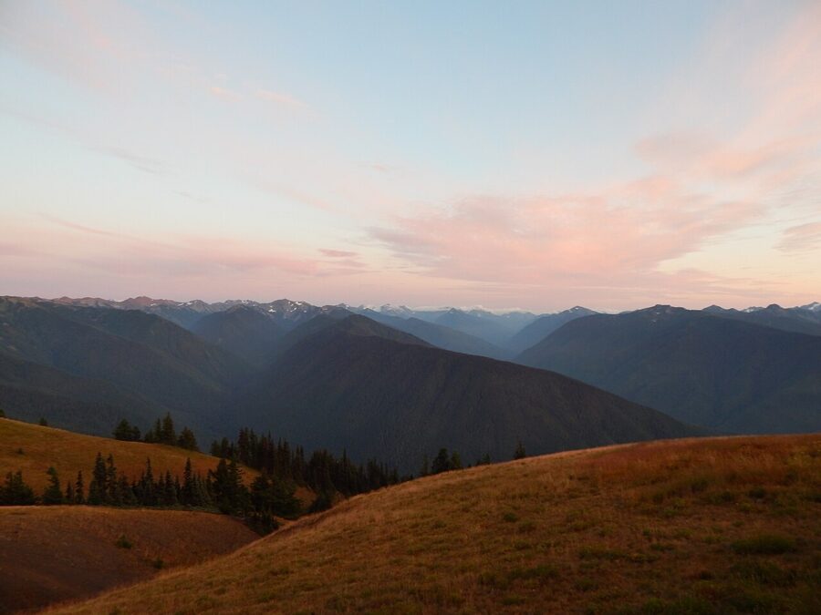
For light, the ridge gives you both ends of the day. The range lies to the south and southwest, so at sunrise and sunset the light rakes across the peaks from the side instead of flattening them. Check a sun calculator for the date, and be in place 30 minutes before the sun comes up or goes down.
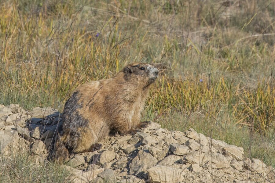
Wildlife comes to you up here. Black-tailed deer graze the meadows, and Olympic marmots, found only on this peninsula, sit up on rocks along the trails. A 200 mm lens is plenty.
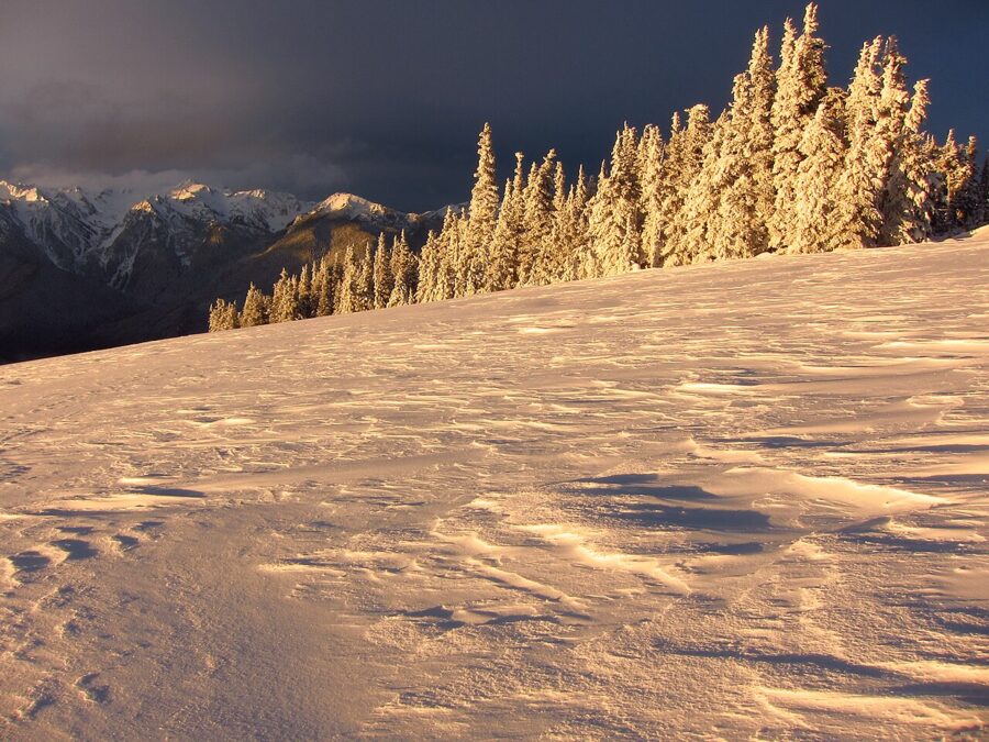
Winter is a different place. The ridge gets about 30 to 35 feet of snow a year, the trees wear rime ice, and on open days the Hurricane Ridge Winter Sports Club runs two rope tows and a Poma lift. Weekend-only access means weekend crowds, so arrive when the gate opens.
Fees, passes and the rules for cameras
There’s no timed-entry or reservation system for getting into Olympic. You pay an entrance fee, and the park doesn’t take cash; buying the pass online before you arrive saves time at the booths. These are the park’s prices as of November 2026:
| Pass | Price | What it covers |
|---|---|---|
| Private vehicle | $30 | Everyone in the car, 7 consecutive days |
| Motorcycle | $25 | Up to 2 motorcycles, 7 days |
| Per person (on foot or bicycle) | $15 | 7 consecutive days |
| Olympic annual pass | $55 | This park, 12 months from the month of purchase |
| America the Beautiful annual (US resident) | $80 | All national parks for a year |
| America the Beautiful annual (non-US resident) | $250 | All national parks for a year |
Drones are banned. Launching, landing or flying one anywhere in the park needs written approval from the superintendent, and about 95 percent of the park is designated wilderness on top of that. If you want height, climb Mount Storm King or Hurricane Hill.
Overnight trips into the wilderness need a permit reserved in advance, at $8 per person per night plus $6 per permit; the park doesn’t issue them at trailheads. Campgrounds at Kalaloch, Mora, Fairholme and the Hoh took reservations only through the 2026 summer season, from mid-May or mid-June into September, so book well ahead for next summer.
Where to base yourself
Rangers suggest splitting your nights between the north side and the west side, and I agree. Port Angeles covers Hurricane Ridge and Lake Crescent. Forks, Kalaloch or Quinault put the coast and the Hoh within an hour, so you can make low tide and the Hoh gate before 8.
The park’s drive times from Port Angeles show why:
| From Port Angeles to | Drive time |
|---|---|
| Lake Crescent | 30 minutes |
| Hurricane Ridge | 45 minutes |
| Sol Duc Valley | 1 hour 15 minutes |
| Mora and Rialto Beach | 1 hour 15 minutes |
| Hoh Rain Forest | 2 hours 15 minutes |
| Kalaloch | 2 hours 30 minutes |
| Quinault | 3 hours |
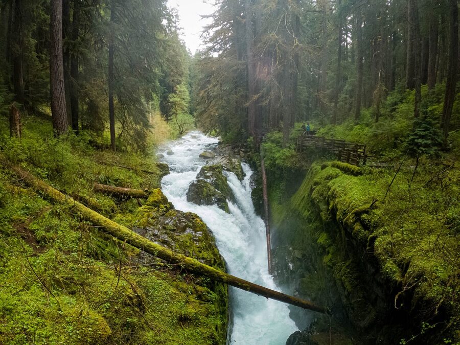
Inside the park, the lodges are seasonal in different ways. As of November 2026 Kalaloch Lodge is open, while the Sol Duc Hot Springs Resort and the Sol Duc road are closed for the season. Sol Duc Falls, a 1.8-mile round trip through big old trees when the road is open, is worth a summer morning on the way west.
When to go, and how long to stay
Summer, roughly July to September, is when everything is open: Hurricane Ridge every day, Obstruction Point, Sol Duc, all the campgrounds. It’s also when the Hoh line is longest and the coast is most likely to sit under fog.
The wet season runs from November through April. The coast and the west-facing valleys get 100 to 170 inches of rain a year, while Port Angeles, in the mountains’ rain shadow, gets only 25 to 30.
I like the shoulders best. In May and June the rivers and waterfalls are full and the Hoh is green to the point of absurdity. October brings yellow bigleaf maples and fewer people, and winter storms on the coast make the best surf pictures of the year, as long as you stay well back from the water.
Check the roads in any season. As of November 2026 the Highway 101 bridge over the Hoh River, south of Forks on the way to Ruby Beach and Kalaloch, is down to a single lane with temporary signals and a 25 mph limit until a permanent repair is made.
How many days? With one day from Port Angeles, the park suggests Hurricane Ridge, Lake Crescent and the Sol Duc Valley; two or three cover mountains, rain forest and coast. Three is my minimum for photography, because it gives each of the three its best hour of light, plus slack for weather.
Three days that work
- Day 1, north side. Hurricane Ridge for sunrise or sunset (in winter, only on open days), then Lake Crescent and Marymere Falls in the middle of the day. Sleep in Port Angeles.
- Day 2, lake to coast. Lake Crescent at first light for the reflection, then west to Forks. Rialto Beach in the afternoon, timed so you reach Hole-in-the-Wall half an hour before low tide, and stay for sunset.
- Day 3, rain forest and Ruby. The Hoh gate before 8 a.m. and the Hall of Mosses while it’s quiet. Ruby Beach for the last hour of light, then Kalaloch.
Pack rain gear for the camera as well as for you, and don’t cancel the Hoh because the forecast says rain. Put the tide table in your pocket, get to the gate before 8, and walk the Hall of Mosses while the drips are still falling.