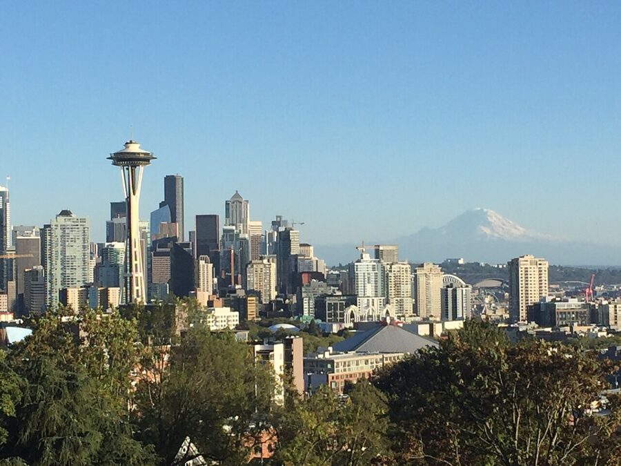
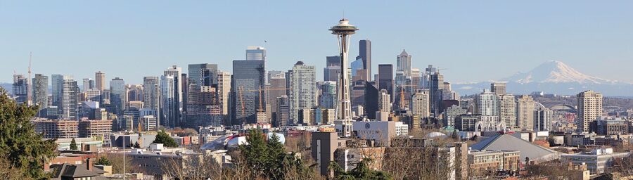
From the railing at Kerry Park the Space Needle stands about 0.8 miles away and Mount Rainier about 60, and on a clear evening they share one frame. The park faces south-southeast over downtown Seattle, so the towers are backlit most of the morning and turn gold only once the sun swings around behind your right shoulder. That one fact decides when you come.
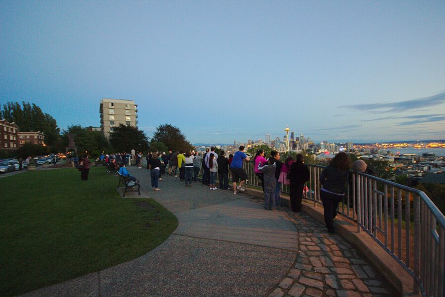
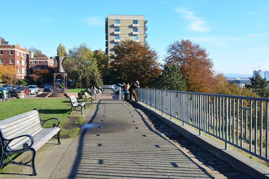
Kerry Park is a strip of lawn, a paved walk and a railing on the south slope of Queen Anne Hill, at 211 W Highland Drive. Seattle Parks and Recreation keeps it open from 6 a.m. to 10 p.m., and there is no fee. It’s a little over an acre, and almost all of it is the edge.
Is it worth the trip? Yes, and a second time if the first visit is cloudy. No other public spot in the city lines up the Needle, the towers, the bay and the volcano so neatly, and it costs nothing. Everybody knows it, though, so timing is most of the game.
Contents6 parts
What’s in the frame
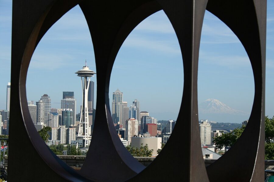
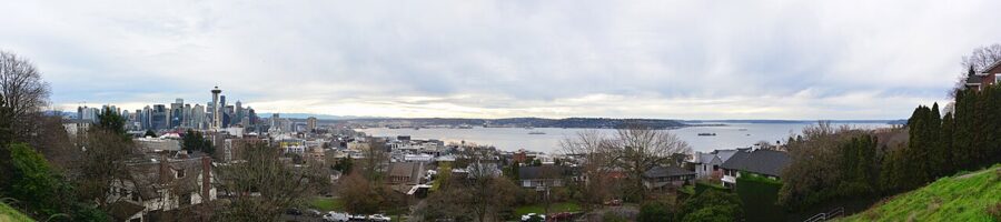
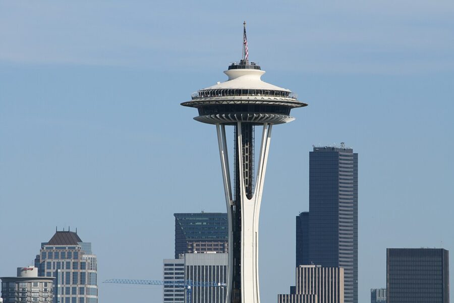
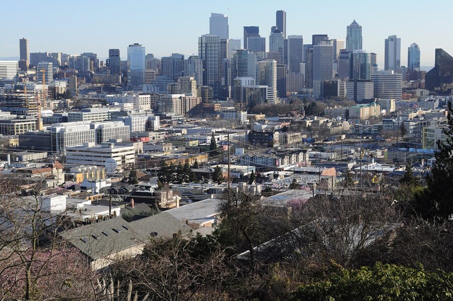
The Space Needle is the anchor: 605 feet tall, built for the 1962 World’s Fair. From Kerry Park it rises straight up in front of the downtown towers, which stand roughly two miles off on almost the same line. That stacking is the whole composition, and it’s why the Needle reads as part of the skyline even though half a city sits between them.
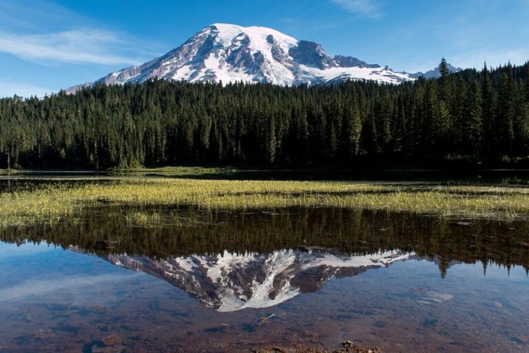
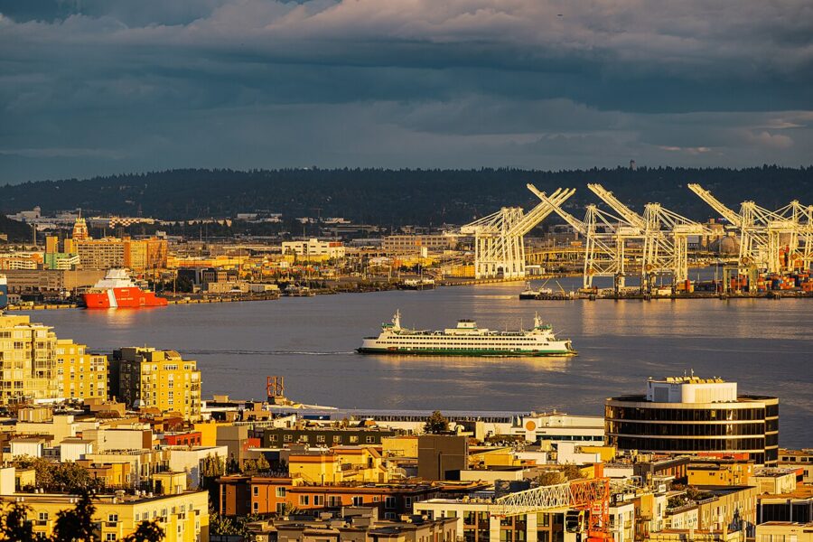
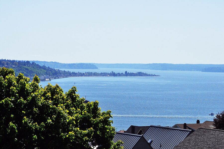
Right of the towers the ground drops to Elliott Bay: container cranes on Harbor Island, the Coast Guard base, green-and-white state ferries running to the downtown terminal, and West Seattle as a long low ridge beyond. Mount Rainier floats above it when the air is clear. It’s 14,410 feet high, a volcano the USGS rates a very high threat, and on hazy days it simply isn’t there.
The park itself
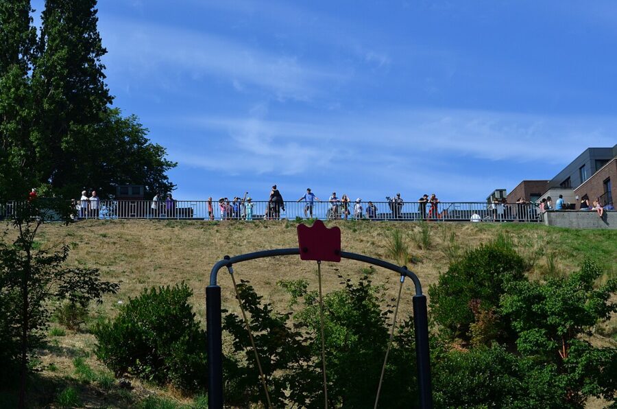
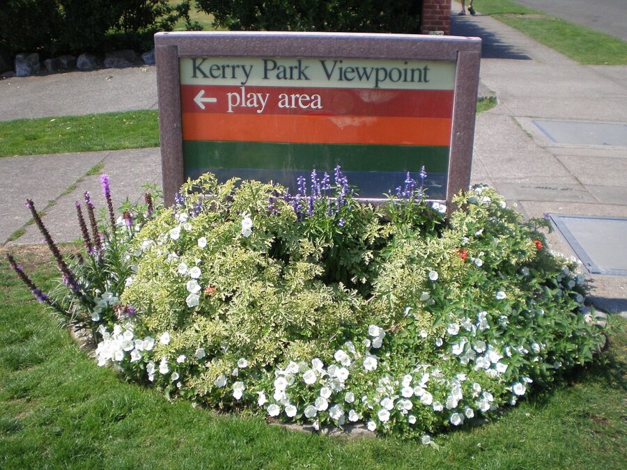
Albert Sperry Kerry and his wife gave the viewpoint to the city in 1927. The lower level, along Prospect Street, holds a play area on land George Kinnear gave in 1904. Up top there are benches, lawns and drinking fountains, but no restrooms on the city’s amenity list, so plan around that.
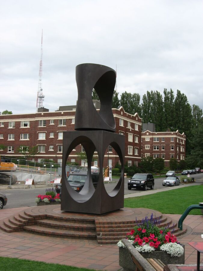
The black steel sculpture in the middle is Changing Form by Doris Totten Chase, installed in 1971. Its oval openings are the one foreground the park gives you, and shooting the Needle through them is a known frame. Kids climb inside it and wedding parties pose in it, so expect to wait your turn.
Light, hour by hour
Facing south-southeast means the sun crosses in front of you for much of the day. Through the morning and midday it hangs over downtown and the bay, the towers go dark and flat, and the haze glows. Fine for a look; the worst time for a picture.
One winter detail: around 10 a.m. in late December the sun stands almost exactly over Rainier as seen from the park, a dozen degrees above the summit. Unless you want flare and a silhouette, be somewhere else.
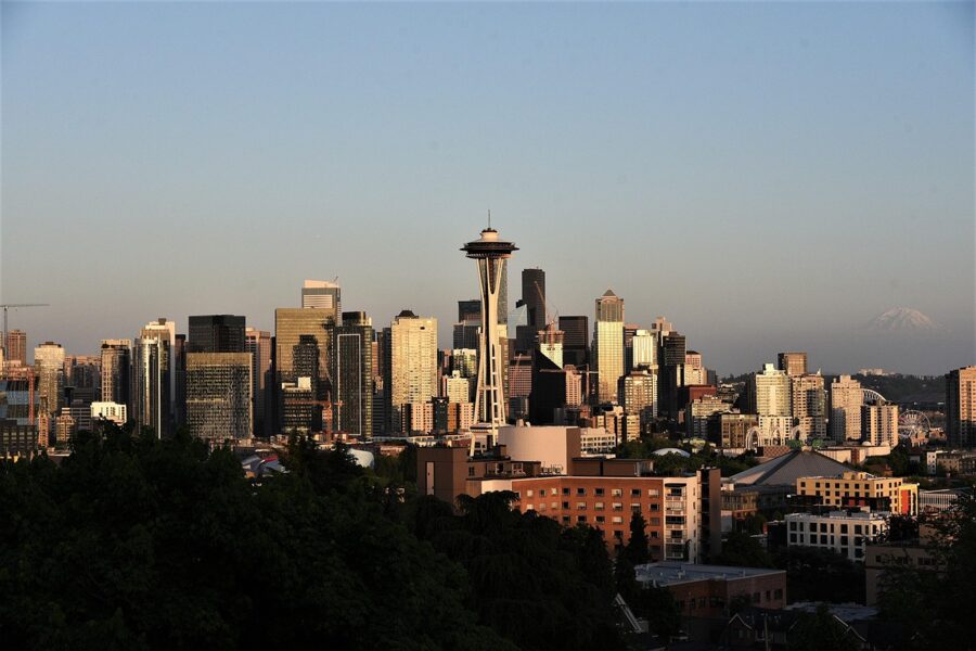
From mid-afternoon the sun moves around to your right and then behind you, and the faces you’re looking at take the light. In summer it sets far to the northwest, behind the park, and throws gold straight onto the skyline. In winter it sets in the southwest and rakes across the buildings from the side.
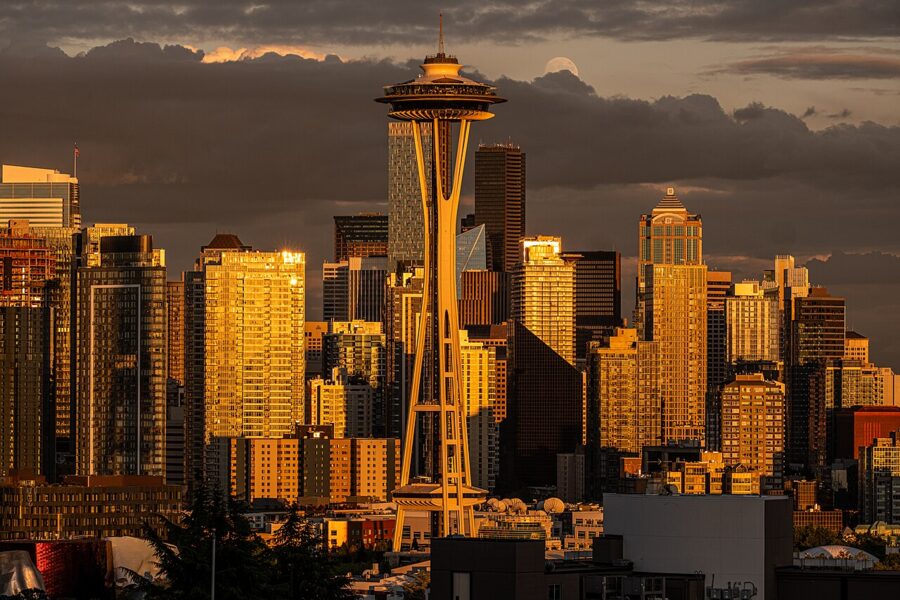
Sunrise works in spring and autumn, when dawn comes at a civil hour and the sky colors up behind the mountain. In summer it’s out of reach: the sun is up before the park opens at 6 a.m.
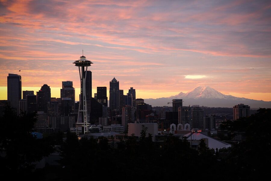
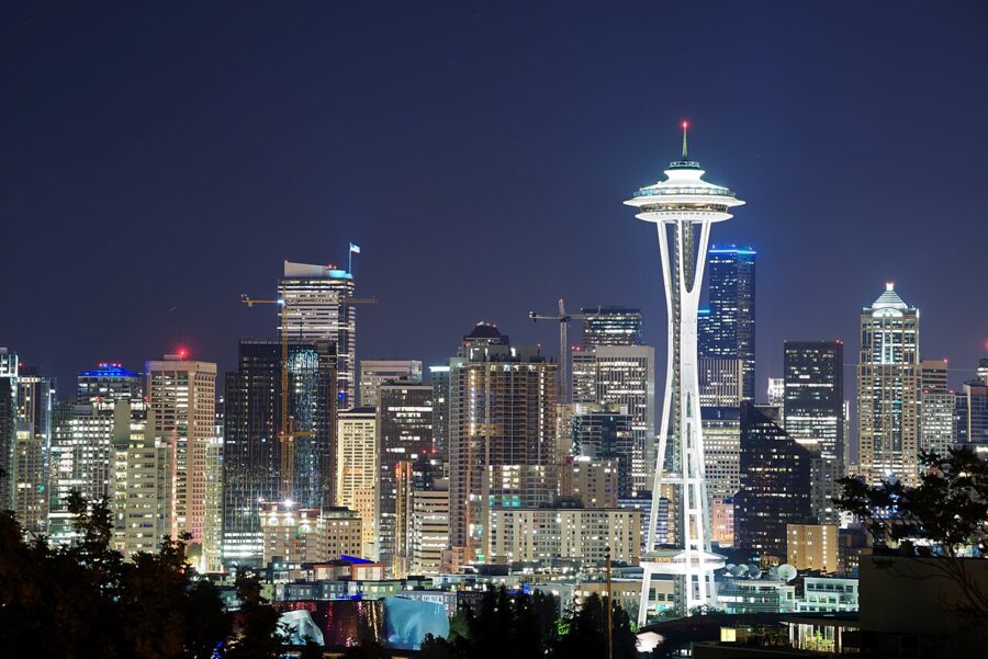
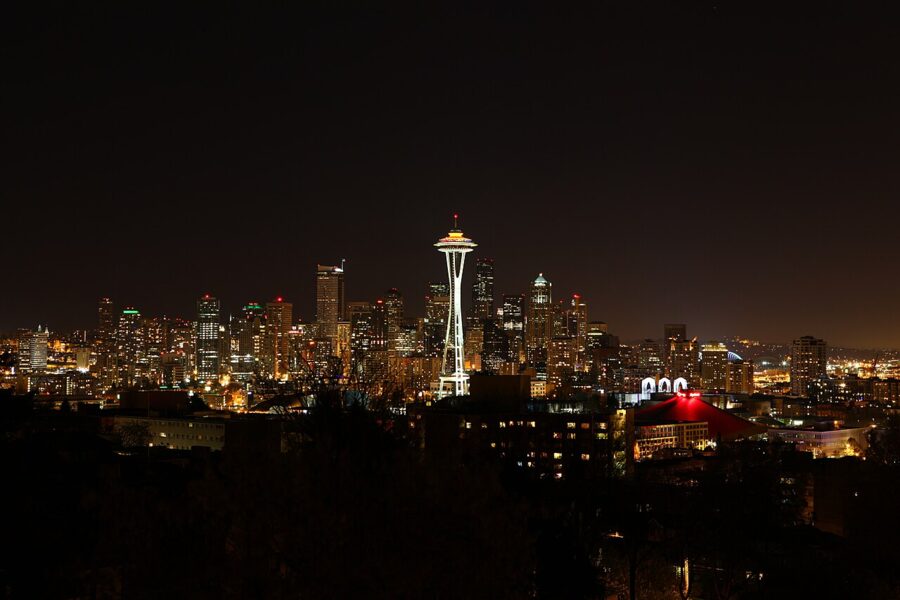
Blue hour is the shot I’d plan a visit around. For twenty minutes or so after sunset the sky goes deep blue, the city lights come on, and the towers still separate from the sky. Check a sun calculator for the date: in late June the sun sets after 9 p.m., and blue hour runs close to the 10 p.m. closing.
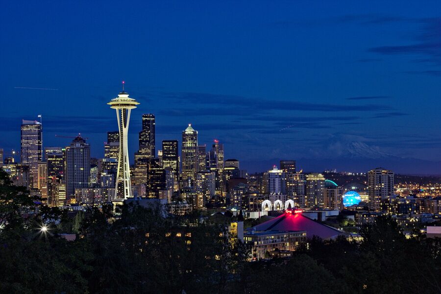
That’s the case for the darker months. In December blue hour comes before 5 p.m., the office floors downtown are still lit, and you’re home for dinner. On a June night, by the time the sky is blue, many of those floors have gone dark.
The days the mountain is out
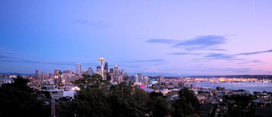
Seattle has a phrase for it, “the mountain is out”, said with some surprise. Rainier needs dry, clear air across 60 miles of lowland, and cloud, rain, haze or smoke will erase it. Summer and early autumn give the best odds; a crisp day after a winter front has cleared can be the sharpest of the year.
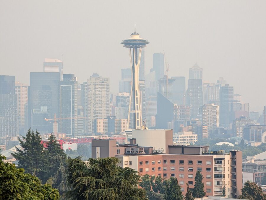
In August 2023 smoke from the Sourdough Fire and other regional fires turned the whole view beige, and smoke has become a regular gamble from July into September. Check air quality and a live downtown webcam before you cross town for the mountain.
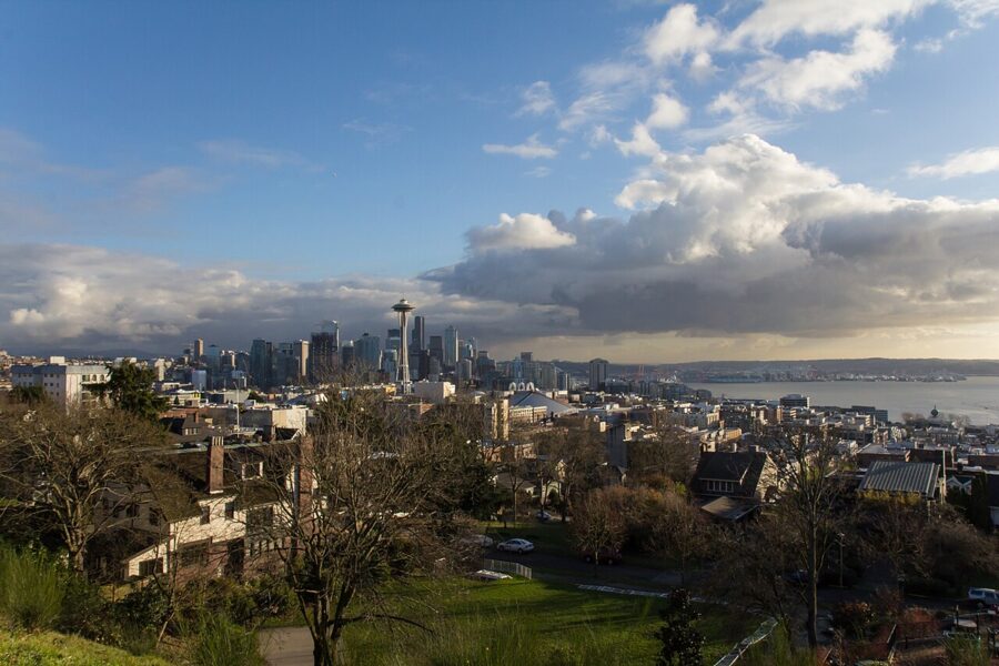
Winter has one more advantage: the trees below the railing drop their leaves, so more of the lower city and the waterfront shows, and the snow comes all the way down Rainier.
Lenses and settings that decide the shot
On a full-frame camera, 24mm takes in everything from the Needle to the port, more than the composition can carry. The classic Needle, towers and Rainier frame sits around 70 to 100mm, where the 11 degrees between the Needle and the mountain fill the frame without crowding either. A 70–200mm zoom is the most useful thing you can carry here.
For the mountain itself you want 300mm and up. Rainier’s summit cone covers only a few degrees of sky from Queen Anne, and 400 to 600mm stacks it over the towers so it looms in a way your eyes never see. Use faster shutter speeds than you’d expect: 60 miles of air shimmer on warm afternoons, and a tripod won’t fix that.
At blue hour, use a tripod, base ISO and about f/8, and let the exposure run several seconds. Set up on the paved walk, not the soft ground beside it, where tripod legs sink and creep. A ferry crossing during a 15-second exposure becomes a line of light across the bay.
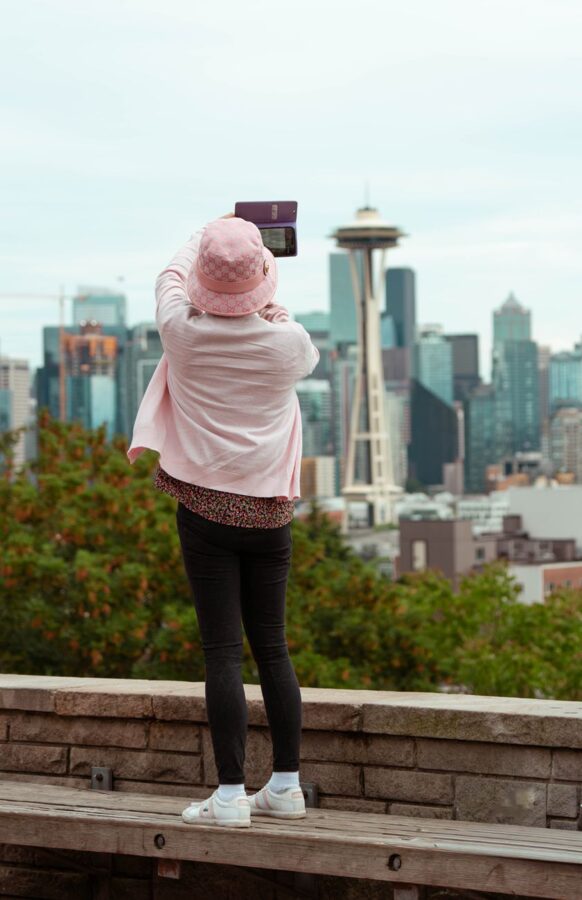
On a phone, use the 2x or 3x lens: it crops close to the classic frame. Brace it on the wall in night mode and hold still for the whole count.
Planning a moon shot? A summer full moon rises low in the southeast, a little left of the Needle’s line, and climbs right across the towers. PhotoPills or The Photographer’s Ephemeris will give you the exact rise point for your date.
Crowds, parking and getting there by bus
Expect company at sunset on any clear evening, and a real crowd on summer weekends: tour groups, couples, wedding shoots (the city takes ceremony reservations here) and a line of tripods. Weekday winter afternoons are the quietest time with good light. For a place at the railing at blue hour, take it forty minutes before sunset and keep it.
Parking is street only. There’s no lot, W Highland Drive is a narrow residential street, and the curb fills fast on clear evenings, so read the posted signs and don’t block driveways.
King County Metro routes 2 and 13 both run from downtown up Queen Anne Avenue North, past Seattle Center, and stop at Highland Drive, about 800 feet east of the park. The adult fare is $3.00 (in effect since September 1, 2025), paid by ORCA card, the Transit GO Ticket app or tap to pay.
Kerry Park is about 0.8 miles from the Space Needle as the crow flies and roughly two miles from the downtown core. Walking up is possible, but the climb from Seattle Center is steep, and I’d ride up and walk down.
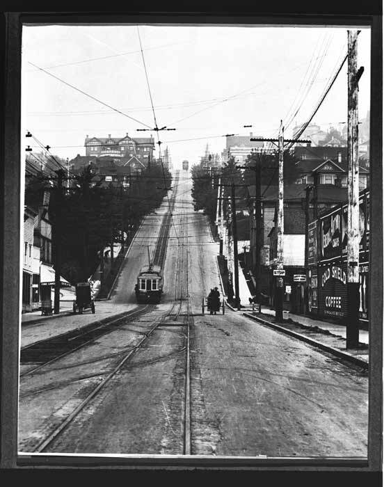
That steep stretch of Queen Anne Avenue is still called the Counterbalance. According to the Museum of History and Industry, cable cars ran up it from the 1890s, hauled by a 16-ton weight sliding through a tunnel under the street, until the system closed in 1940.
Other skyline viewpoints, and how they compare
Kerry Park is the one with the Needle in front of the towers. Every other spot changes that relationship, and a few suit hours when Kerry is closed or backlit. Hours are Seattle Parks and Recreation’s, as of November 2026.
| Viewpoint | Where | What you see | Best light | Hours |
|---|---|---|---|---|
| Kerry Park | Queen Anne, south slope | Needle in front of downtown, bay, Rainier | Late afternoon to blue hour | 6 a.m.–10 p.m. |
| Bhy Kracke Park | Queen Anne, east slope | Downtown over South Lake Union, Capitol Hill | Evening, blue hour | 4 a.m.–11:30 p.m. |
| Marshall Park (Betty Bowen Viewpoint) | Queen Anne, 1191 7th Ave W | Puget Sound and the Olympics, no skyline | Sunset | 4 a.m.–11:30 p.m. |
| Gas Works Park | North shore of Lake Union | Skyline across the lake, Needle to the right | Late afternoon, sunset | 6 a.m.–10 p.m. |
| Volunteer Park water tower | Capitol Hill | West over the city toward the Needle, through mesh | Afternoon | Tower 10 a.m. to dusk |
| Hamilton Viewpoint | West Seattle, 1120 California Ave SW | Downtown and the Needle across Elliott Bay | Late afternoon, blue hour | 6 a.m.–10 p.m. |
| Jose Rizal Bridge | Beacon Hill | Downtown from the south over I-5 | Morning, midday, dusk | Public sidewalk |
Bhy Kracke Park
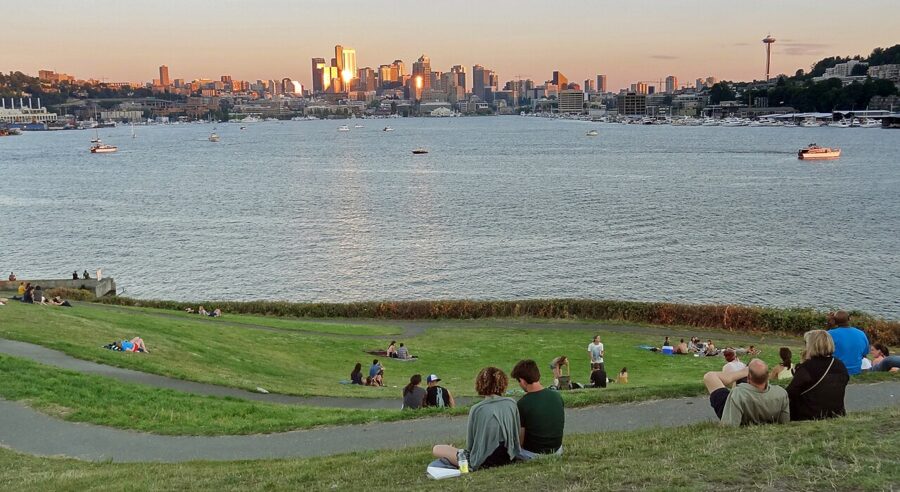
The closest alternative is about fifteen minutes on foot around the east side of Queen Anne. It looks down over South Lake Union to the towers, with Lake Union, I-5 and Capitol Hill to the left. Its long hours make it the Queen Anne spot for a summer sunrise or a late blue hour after Kerry closes.
Gas Works Park
Across Lake Union, Gas Works puts the skyline over water, with the rusted towers of the old gas plant behind you as a second subject. Shoot from the grassy mound. Entering the lake is prohibited because of contaminated sediment, and the city lists a sediment cleanup running 2026 to 2030, so check the park page for work areas before you go.
Volunteer Park water tower
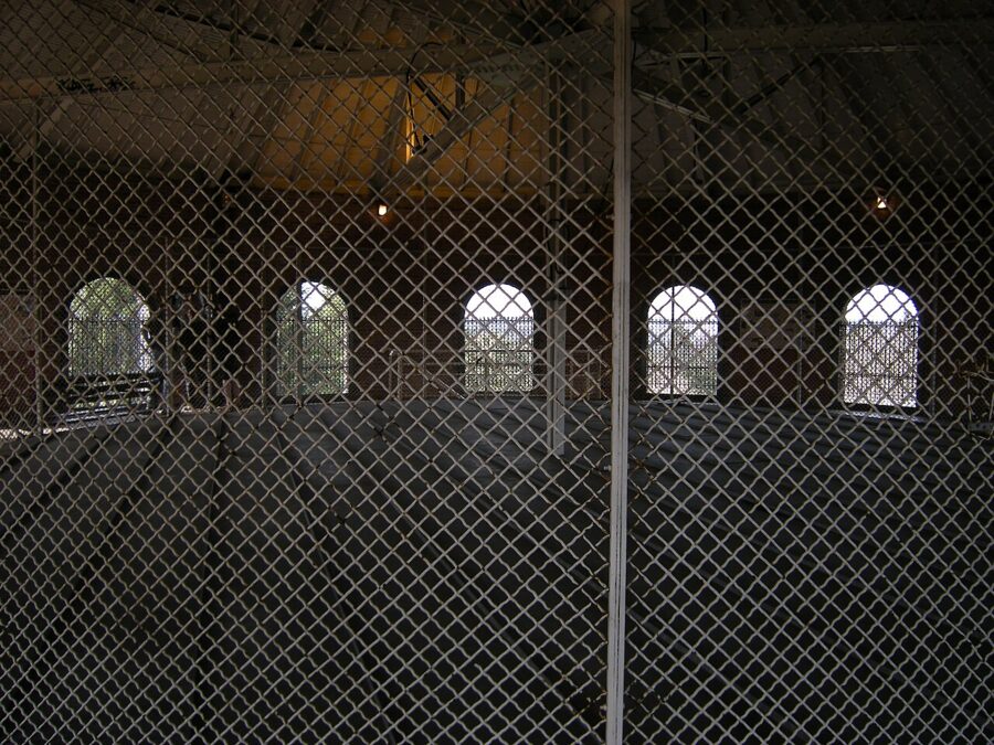
On Capitol Hill, the deck at the top of the old water tower looks out over the city and west toward the Needle. It’s enclosed in wire mesh, so push a small lens right up to a gap. Open 10 a.m. to dusk, it’s an afternoon stop, not a sunset one.
Hamilton Viewpoint and the Jose Rizal Bridge
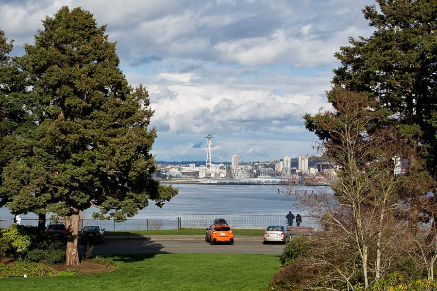
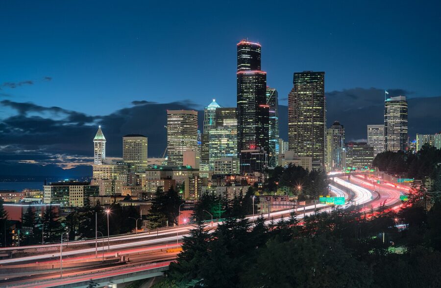
Hamilton Viewpoint, on the West Seattle bluff, turns Kerry’s view around: downtown and the Needle across Elliott Bay, best late in the day. For a morning picture go to Beacon Hill, where Dr. Jose Rizal Park and the bridge beside it look north over the freeway at the sunlit south faces of the towers. At dusk the traffic draws light trails.
The paid decks, at the Space Needle and high in the downtown towers, show you the city from inside it. For a picture of the skyline you have to stand outside it, which is the point of Kerry.
Queen Anne before or after
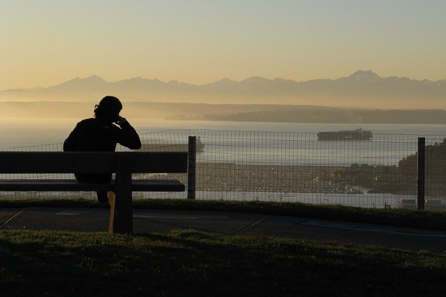
Walk west along W Highland Drive past big old houses to Parsons Gardens at 650 W Highland Drive, the Parsons family garden, given to the city in 1956 by Reginald H. Parsons’ children. Across the street, Marshall Park holds the Betty Bowen Viewpoint, three benches over Puget Sound and the Olympics. Its concrete walk carries unsigned work by Northwest artists including Morris Graves and Kenneth Callahan; see if you can tell whose is whose.
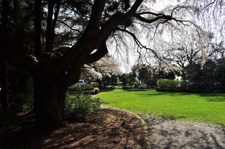
Marshall Park is the sunset to pair with Kerry: watch the sun go down over the Olympics there, then walk ten minutes back east for blue hour over the city.
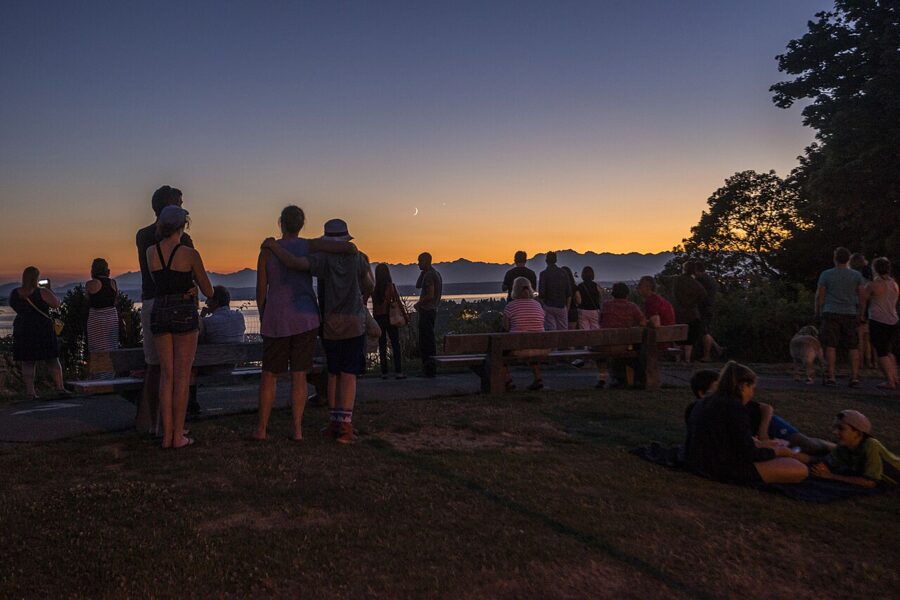
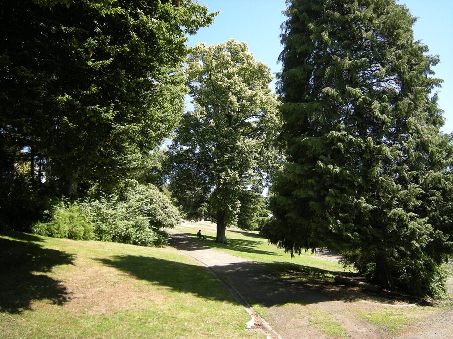
Below the drive, Kinnear Park’s paths drop toward the waterfront. Up the hill, the top of Queen Anne Avenue North has the neighborhood’s cafes and bakeries; down the hill, Seattle Center has the Needle itself, museums and the monorail.
Whatever else you do, come back to the railing at the end. Get there forty minutes before sunset, find a spot toward the west end, and stay twenty minutes after: the city lights come on in the blue, and the Needle stands in front of them exactly as it does on the postcards.