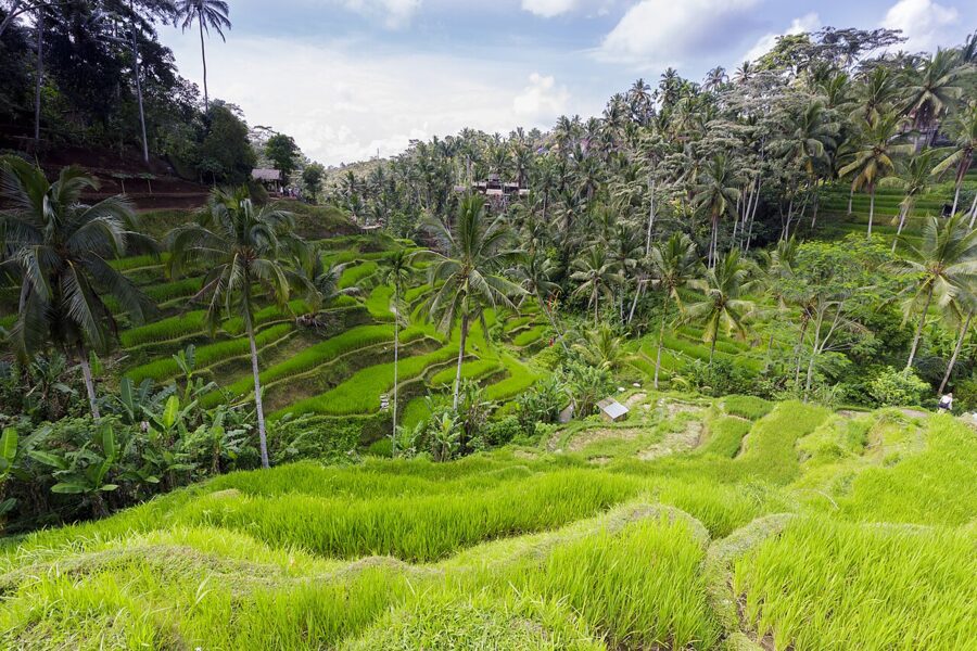
Tegallalang’s terraces drop into a narrow gorge on the east side of the road north from Ubud, so the classic view looks east. At sunrise the far slope sits in its own shadow with the light behind the palms. By three in the afternoon the sun has swung round behind you and every step of green is lit side-on. Most people arrive at ten, when it is neither.
That is the whole game with Indonesia’s rice terraces. They are working farms on volcanic slopes, run on a calendar the farmers set, and the picture you get depends on which way the slope faces, how high the rice has grown and whether the cloud has come down off the mountain yet. Bali has the famous three, Jatiluwih, Tegallalang and Sidemen. Java and Sulawesi have terraces that see a fraction of the visitors, and one of them, in the Toraja highlands, is as good as anything on Bali.
Contents8 parts
How the terraces work: water first
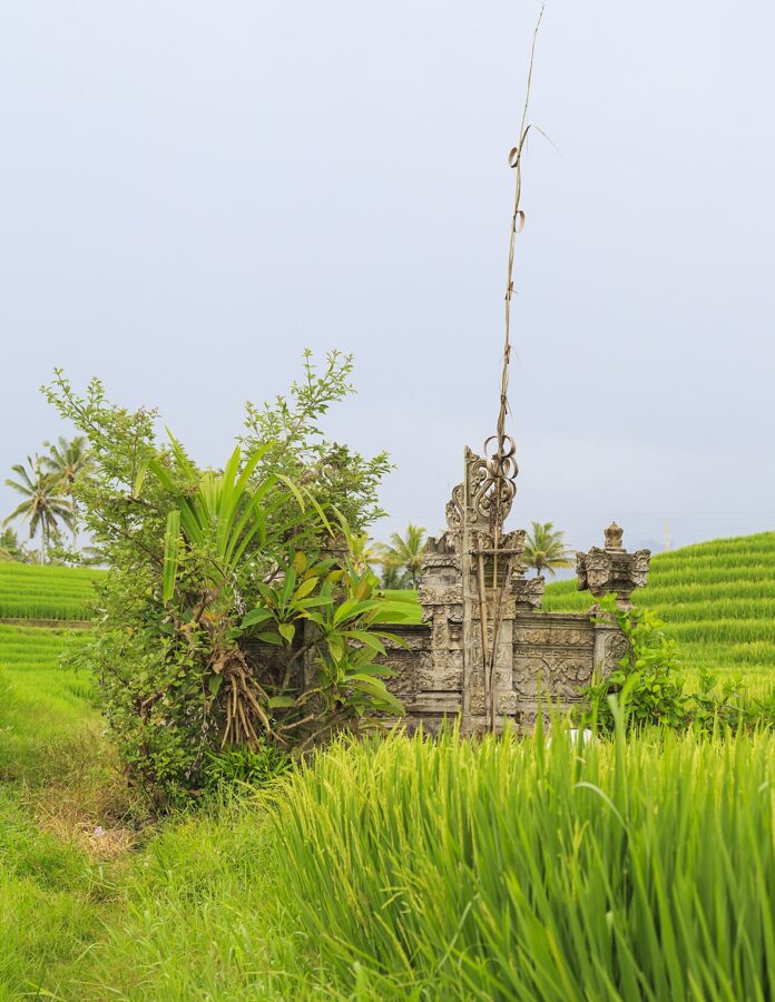
A Balinese rice terrace is a plumbing system with a temple at the top. Water leaves a spring, lake or river, runs through tunnels and canals cut by hand, passes through a water temple and then splits again and again by stone and timber dividers until each paddy gets its share. The farmers who share one source form a subak, a cooperative with its own written rules, called awig-awig, its own meetings and its own shrines.
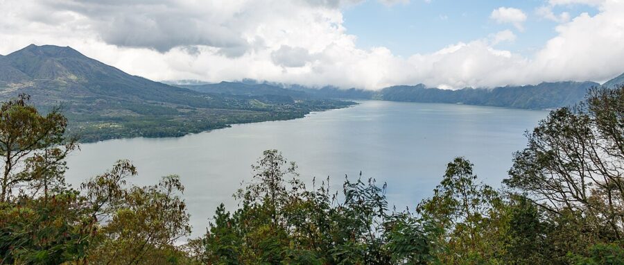
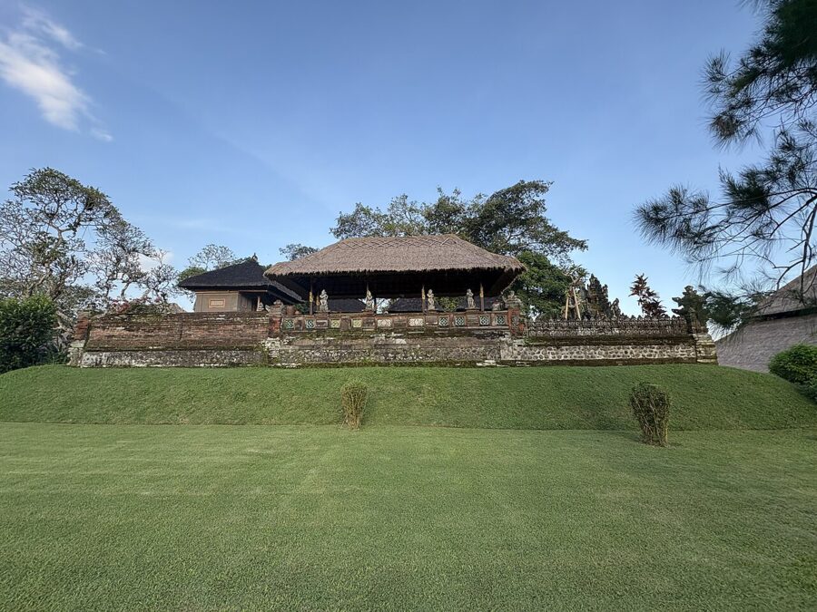
UNESCO counts about 1,200 of these water collectives on the island, each serving between 50 and 400 farmers. It traces the system to the 9th century and lists the terraces of the Batukaru area among the oldest on Bali, mentioned in a 10th-century inscription. In 2012 five areas were inscribed together as a World Heritage site: the lake and supreme water temple at Batur, the Pakerisan valley near Tampaksiring, the Catur Angga Batukaru terraces that include Jatiluwih, and the royal water temple of Pura Taman Ayun at Mengwi. Tegallalang, for all its fame, is not one of them.
The philosophy behind it is called Tri Hita Karana, the idea that life goes well when people get on with each other, with nature and with the gods. That sounds abstract until you watch it work. The American anthropologist Stephen Lansing showed in Priests and Programmers (1991) that the water temples schedule planting across whole valleys, so that neighboring subaks flood and leave their fields fallow together, which shares the water and starves the rice pests.
For a photographer this has a practical result. Two valleys ten minutes apart can be at completely different stages, one flooded and silver, the next gold and ready to cut. If the terraces you came for are mud and stubble, ask your driver where the water is this week.
Jatiluwih: the big one
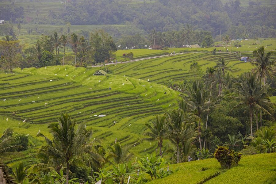
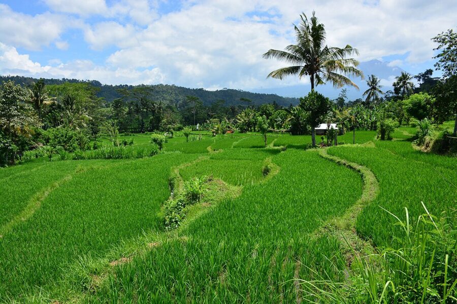
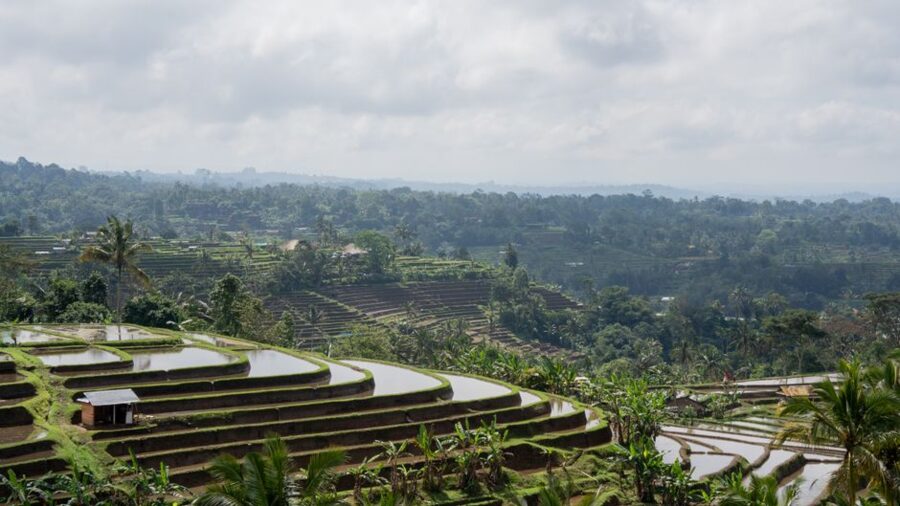
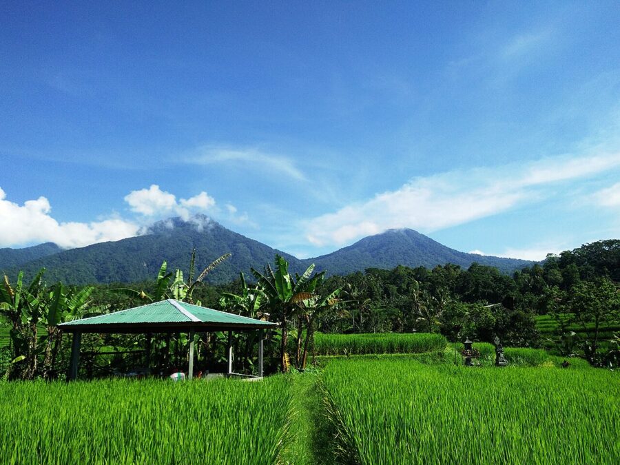
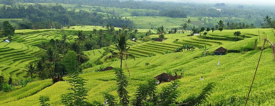
Jatiluwih sits on the southern slopes of Mount Batukaru in Tabanan, at roughly 700 meters, about an hour and a half by road from Ubud and a little less from the Canggu side. The terraces step down the mountain for kilometers, cut by streams and dotted with palms and farm huts, and this is the place to come if you want scale. It is also the most organized of the famous three, with a ticket gate, signed walking routes and a large car park.
As of 2026 the entry ticket for foreign adults is IDR 75,000 (about $4.50) and IDR 50,000 (about $3) for children, after a rise in April 2025. Indonesian adults pay IDR 25,000 (about $1.50). The ticket covers the walking routes, which are color-coded loops of different lengths signposted from the main road. Pick one of the longer loops: ten minutes past the restaurants, the only people you meet are farmers.
Crowds are real but spread out. The site’s manager put the average at around a thousand visitors a day in mid-2025, about half as many again on holidays, and most of them stay close to the road. Tour groups from the south arrive from late morning. The best light is early, and so is the clearest view of Batukaru: the 2,276-meter summit usually gathers cloud as the day warms up.
In late 2025 Bali’s authorities sealed 13 restaurants and shops built on farmland inside the heritage area for breaking zoning rules. In early December some landowners put up sheets of corrugated metal across their fields in protest, blocking parts of the view. They began taking them down after talks with the Tabanan regency government, which promised a temporary policy allowing non-permanent stalls. If you are planning a trip around Jatiluwih, look for recent local news before you go.
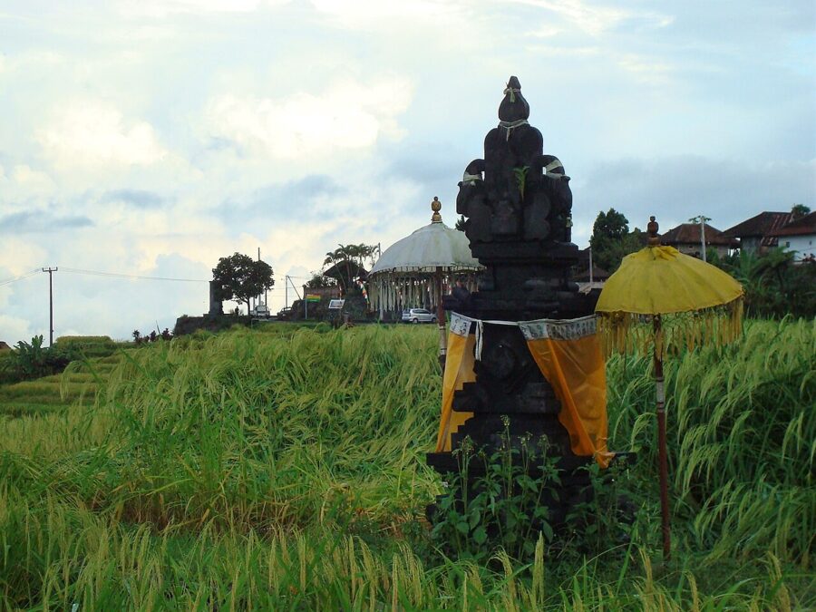
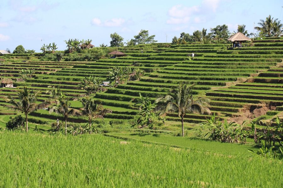
Tegallalang: the gorge everyone knows
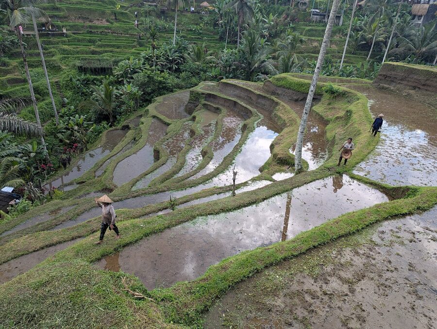
Tegallalang is about 20 minutes north of central Ubud, and its terraces fill a small valley locally called Ceking, after the subak that farms it. The cafés and warungs on the main road sit on the western rim and look east across the gorge. That geometry decides everything about the light.
- Sunrise to about 8 a.m.: the far terraces face away from the sun and sit in shade, with mist in the bottom of the gorge and the palms rim-lit. Moody, quiet, and the only time without a crowd.
- Mid-morning to early afternoon: high sun, hard shadows under the palms, the most people. Fine for walking, poor for photographs.
- From about 3 p.m.: the sun is behind you and the west-facing terraces light up. Afternoon cloud is common in the wet season, so watch for breaks.
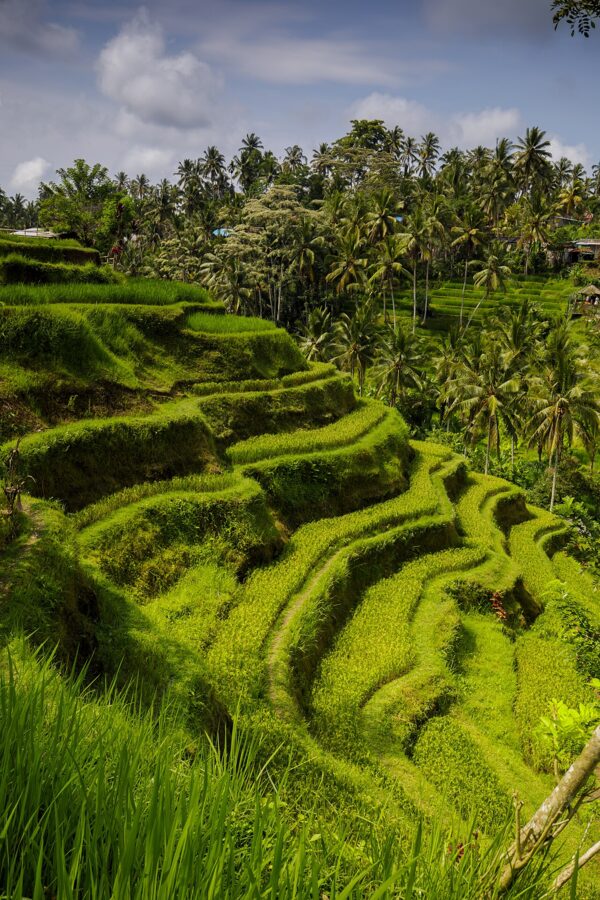
It is busy in a way Jatiluwih is not. Swings, nests, photo platforms and selfie frames line the edges, each run by a different business. On the trail you pass a series of donation posts where landowners ask for a small payment to cross their plots. Pay them: the paths go through private fields, and the money is part of what keeps the rice there rather than another villa.
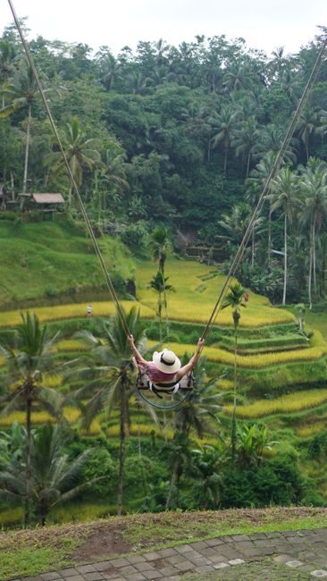
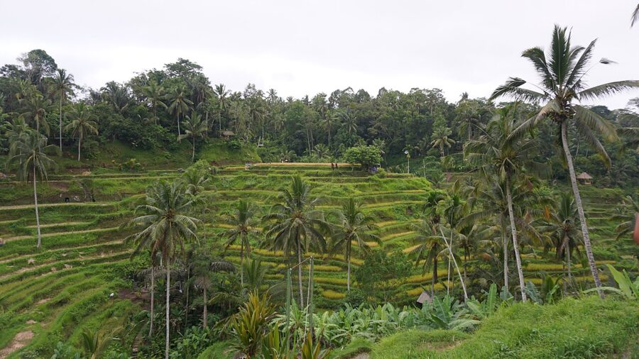
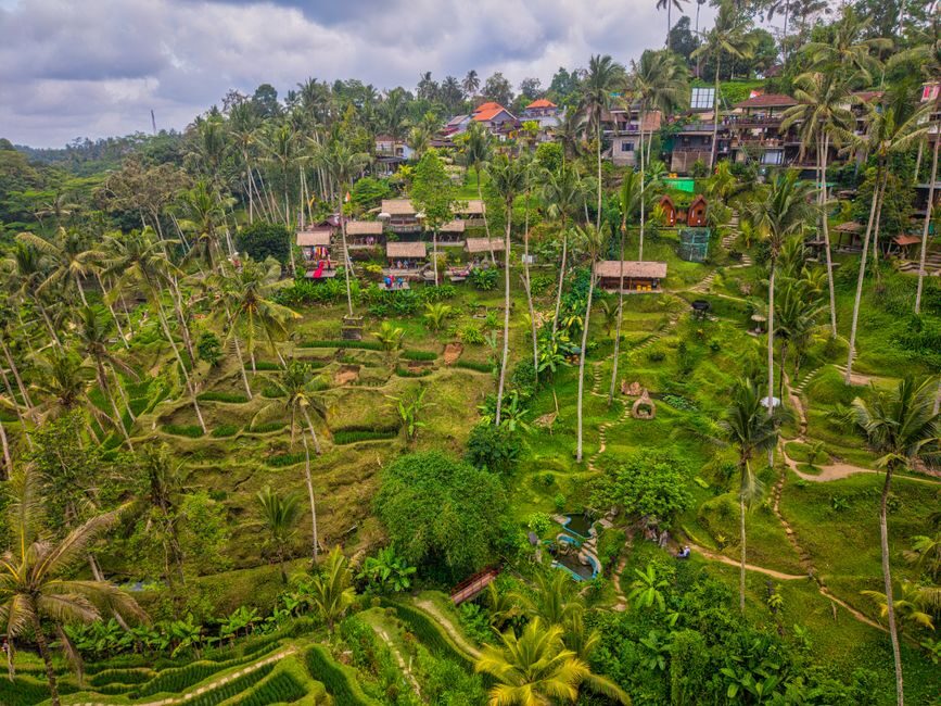
Look at the rim and you can see the pressure. Cafés and guesthouses now crowd the top of the gorge on both sides, and the terraces themselves are a small patch compared with Jatiluwih. Go for the sunrise and the walk down; skip it in the middle of the day.
Gunung Kawi and the Pakerisan valley
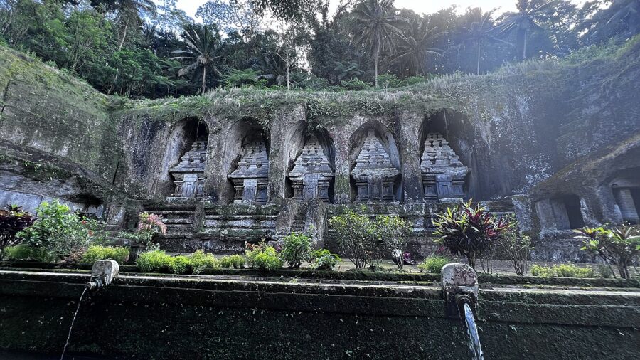
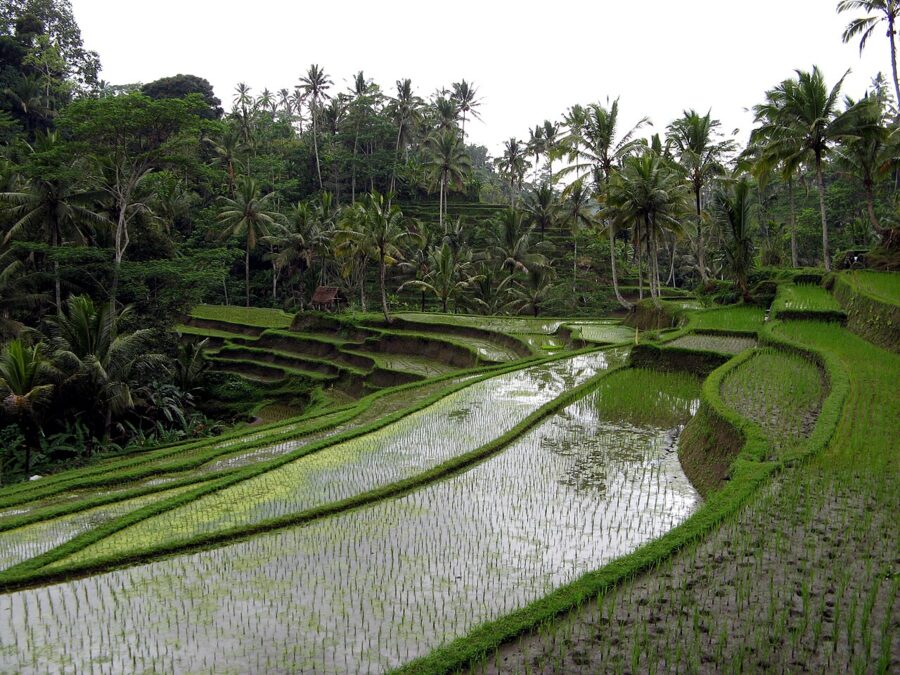
A short drive east of Tegallalang, the Pakerisan river cuts a deep valley past Tampaksiring. UNESCO calls its subaks the oldest known irrigation system on Bali, and they are part of the World Heritage listing. Gunung Kawi, an 11th-century royal memorial of shrines carved into the cliff, sits at the bottom of a long stairway with rice paddies on the way down. Wear a sarong (they are lent at the entrance), and come early, before the coach groups.
Sidemen: the quiet one
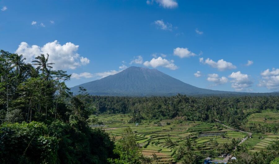
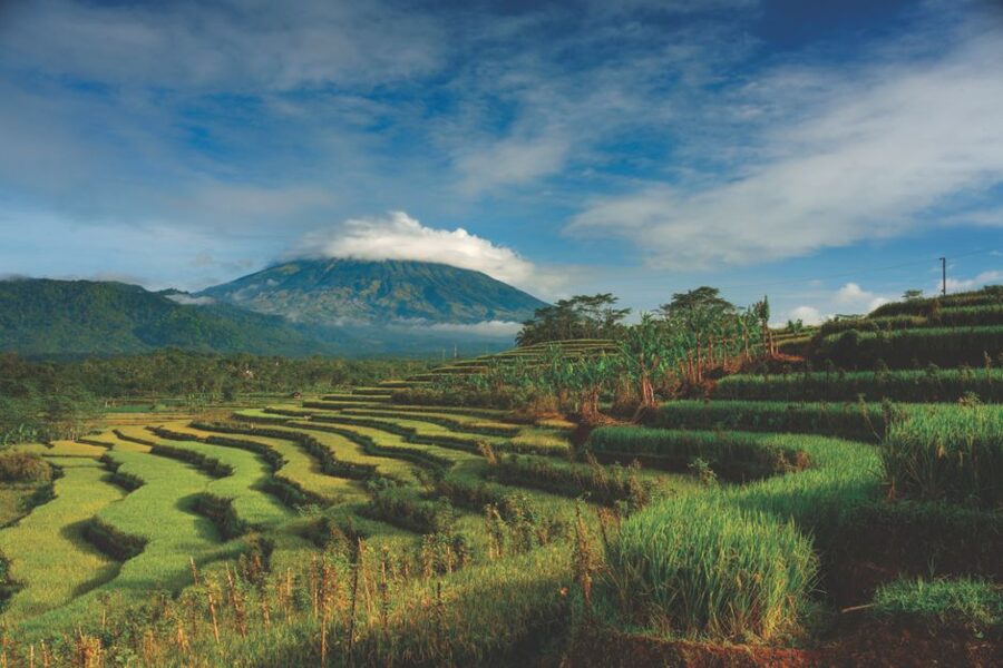
Sidemen is a village in Karangasem, east Bali, spread along the valley of the Unda river, about an hour and a half from Ubud. The fields are lower and less dramatic than Jatiluwih’s, and there is no ticket gate, no swing and very little traffic. What it has is Mount Agung, which rises to the northeast, a little over 3,000 meters and still an active volcano.
In the morning the sun comes up behind Agung’s shoulder, so the mountain is a dark shape against the light. In the late afternoon the sun lights its western face, and the fields in the foreground go gold. Agung is often clear at dawn and hidden by mid-morning, especially in the wet season. Before you go, check the volcano’s alert level with Indonesia’s volcanology agency, PVMBG.
Walk rather than drive. Lanes and field paths lead from the guesthouses on the main road down to the river and up the far side, past weaving workshops and small temples. A local guide for a morning walk costs little and knows which paths cross which family’s fields.
The rice calendar and the light
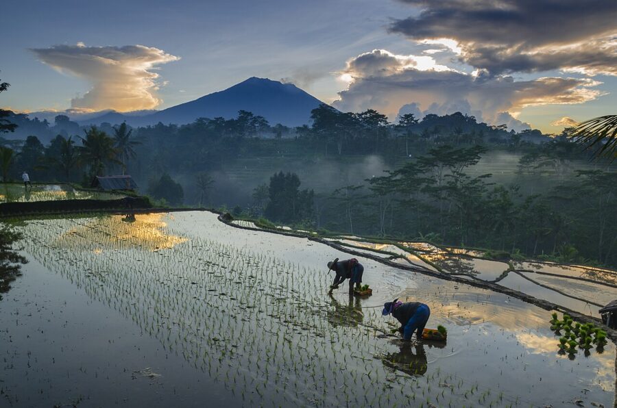
Irrigated rice in Bali usually goes through two crops a year, sometimes more, and each crop takes three to four months from planting to harvest. Because subaks stagger their schedules, there is no single “best month” for the whole island. There are stages, and each one suits a different photograph.
| Stage | What it looks like | How to shoot it |
|---|---|---|
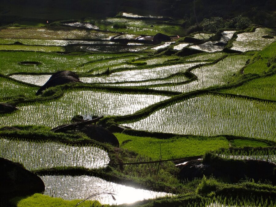
| Flooded and newly planted | Mirrors of water with rows of tiny seedlings | Sunrise or sunset reflections; a low position on a bund |
| Growing (about three to eight weeks) | Bright, even green, the classic terrace picture | Side light, early or late; polarizer for the glare |
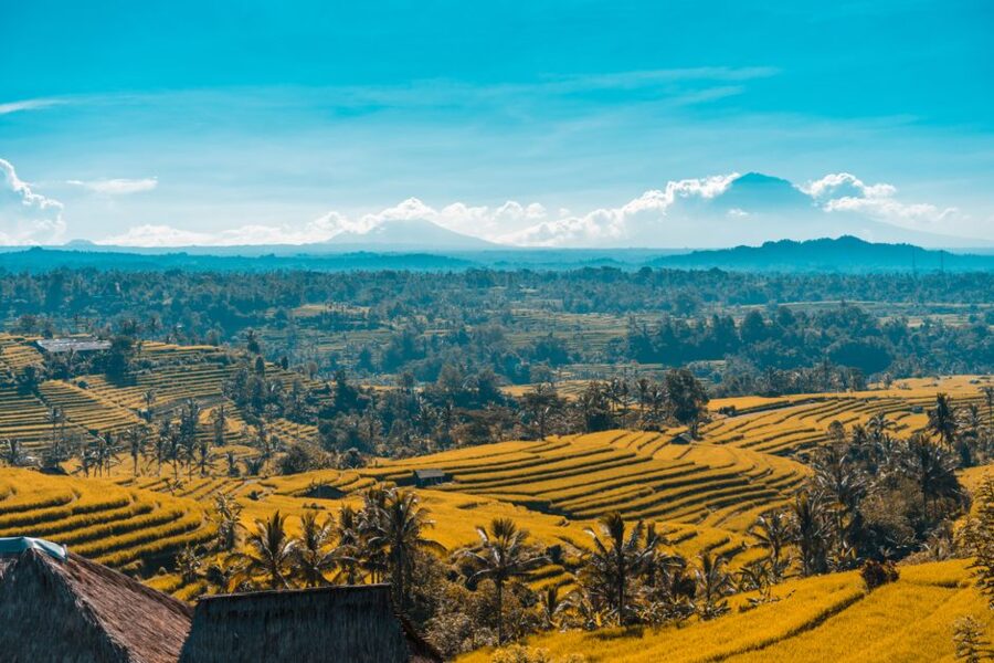
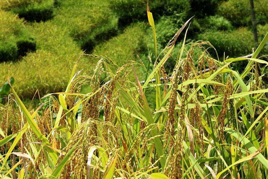
| Ripening | Green turning yellow-gold, heads bending over | Late-afternoon backlight through the grain |
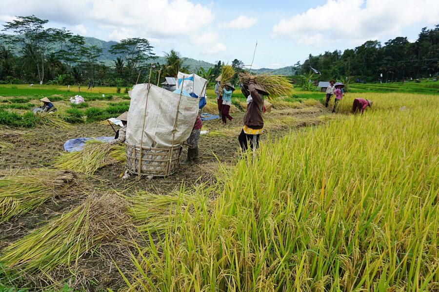
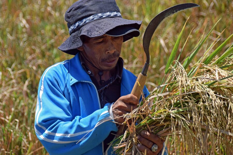
| Harvest and after | Cut stubble, threshing, sometimes burning straw | People at work; ask first, keep your distance |
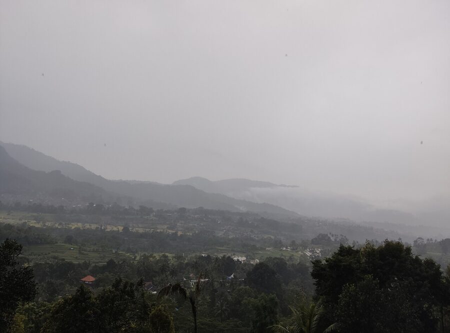
Bali’s weather runs from a drier season, roughly April to October, to a wet season from November to March. The dry months give clearer mountain views and more reliable sunrises. The wet months give heavier cloud, fewer visitors and fields full of water, and the afternoons often end in a downpour. Bali sits eight degrees south of the equator, so sunrise and sunset times shift by less than an hour through the year; check a sun calculator for the date rather than trusting a guide.
Java: terraces without the queue
Java has more rice than Bali and far fewer people photographing it. The terraces here are less about one famous viewpoint and more about whole hillsides worked by villages, often under a volcano.
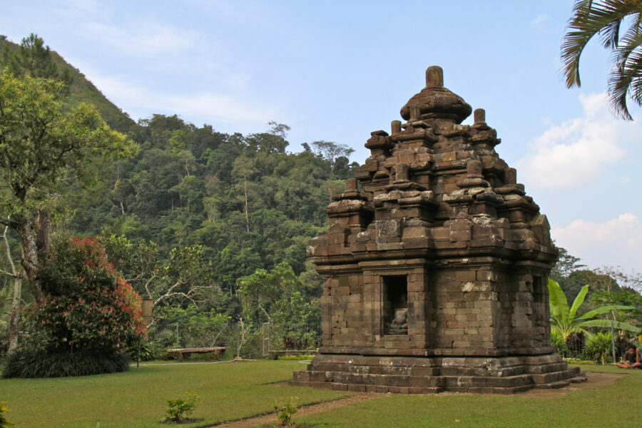
Selogriyo, Magelang (Central Java). A small 9th-century Hindu temple dedicated to Shiva stands on a hill above terraced fields west of Magelang, about an hour and a half by road from Yogyakarta. You reach it on foot from the village, climbing through the paddies, and the views back down the valley are the reason to go. Combine it with an early start at Borobudur.
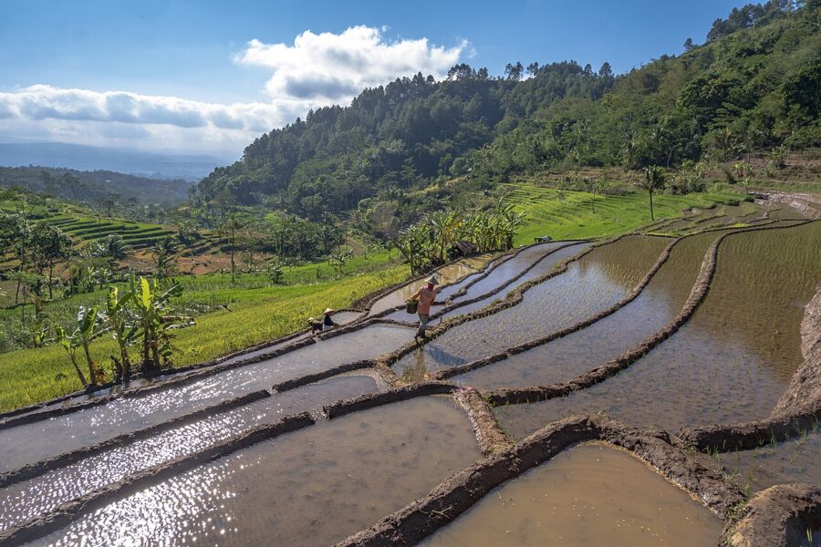
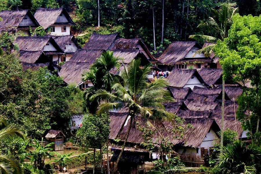
Kampung Naga, Tasikmalaya (West Java). A traditional Sundanese village in the valley of the Ciwulan river, reached by a stairway of about 440 steps from the road between Garut and Tasikmalaya. The villagers farm the rice terraces around it under their own customary rules. Go with a guide from the village, ask before photographing people or buildings, and keep out of the forest and sacred areas they point out.
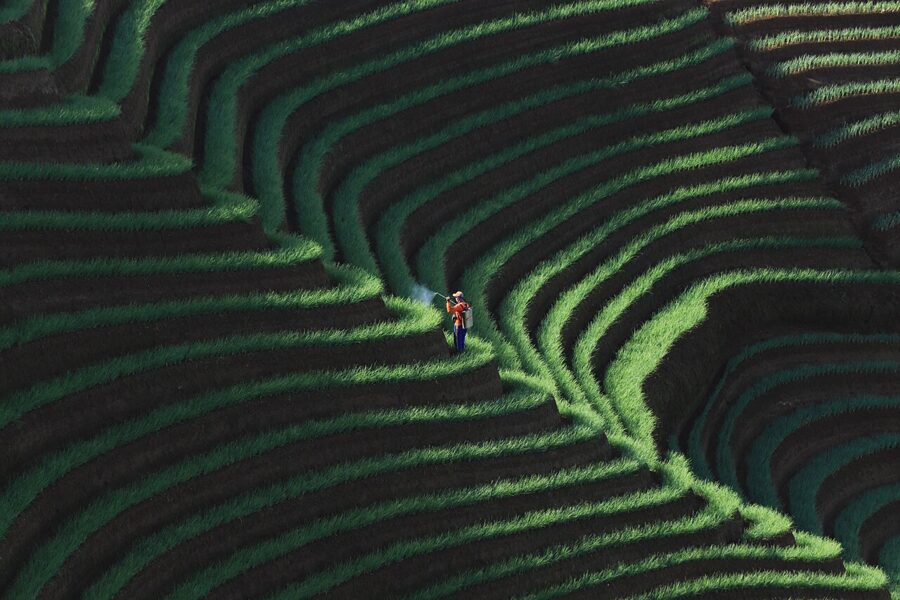
Panyaweuyan, Majalengka (West Java). One of the most graphic terrace views in Indonesia, on the slopes of Mount Ciremai at Argapura, and not rice at all. The farmers grow shallots and spring onions, which is why the rows are so tight and fine. Early morning brings the best light and the least haze.
Sulawesi: Toraja’s highland fields
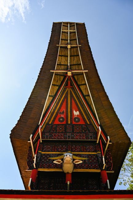
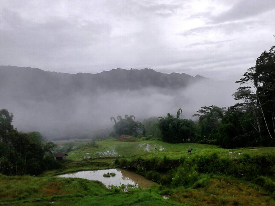
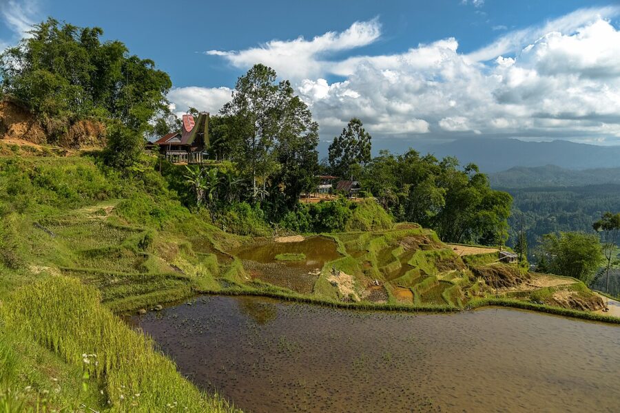
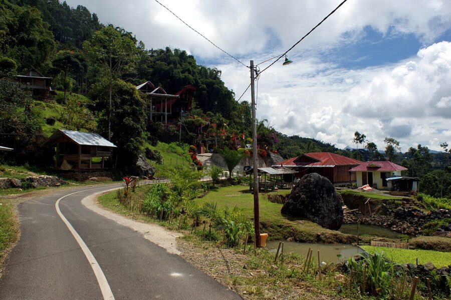
In the mountains of South Sulawesi, the Toraja grow rice in terraces and valley-floor paddies among their boat-roofed tongkonan houses and rice barns. The best-known viewpoint is Batutumonga, on the slopes of Mount Sesean about 20 kilometers north of Rantepao, where terraces fall away below the village with the valley spread out underneath. Stay a night in the village if you can: on clear mornings the cloud sits in the valley below you.
Getting there takes effort. Most people start in Makassar and take an overnight bus north, roughly eight to ten hours. Wings Air also flies from Makassar to Toraja Airport a few days a week; check the airline’s current schedule before planning around it. From Rantepao, a car or motorbike reaches Batutumonga in under an hour on a narrow mountain road.
Toraja has its own calendar on top of the rice one. Big funeral ceremonies draw families home, mostly in the dry months after harvest. If you are invited to watch, it is a privilege, and photographs of the ceremony should follow the family’s wishes.
On the paths: farmers, offerings and drones
Every one of these terraces is somebody’s field, and the walking paths are the bunds that hold the water in. Treat them that way.
- Walk on the bund tops in single file, and step aside for anyone carrying a load. Broken edges let water out of a paddy.
- Stay out of the water and off seedbeds, and never move the stones or boards in a channel. They are how the water gets shared.
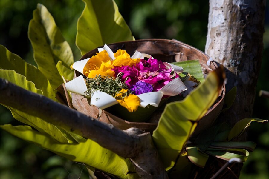
- Leave offerings alone. The small woven trays at shrines and field corners are put there daily, and stepping on one is rude anywhere on Bali.
- Ask before you photograph someone at work, and take no for an answer. A smile and a gesture at the camera is usually enough to ask.
- Pay the donation posts and parking fees. They are often the only income the landowners see from visitors.
- Keep drones away from temples, ceremonies and people working in the fields, and ask at the ticket office before flying at Jatiluwih or Tegallalang.
Visitors to Bali also pay the province’s tourist levy, IDR 150,000 (about $9) per person per visit, through the provincial government’s Love Bali system. The province says the money goes to protecting Balinese culture and the natural environment.
If you only have one morning, make it Tegallalang at first light and then the walk down into the gorge before the vans arrive. If you have a whole day, drive to Jatiluwih before seven, take the longest loop, and be back on the road by the time the cloud comes down off Batukaru.