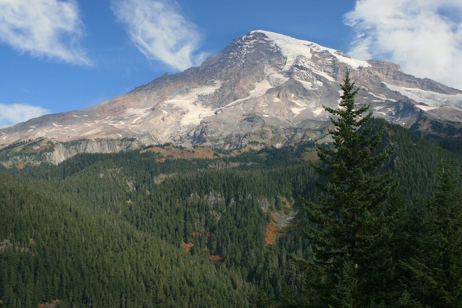
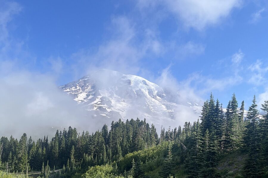
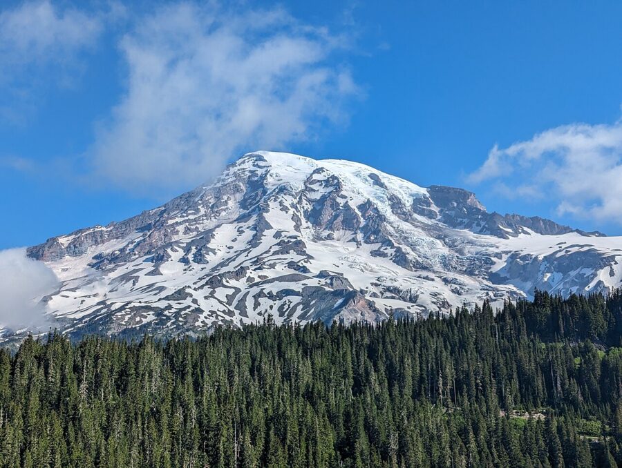
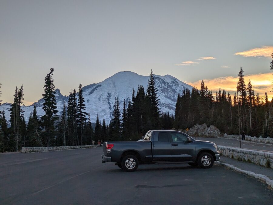
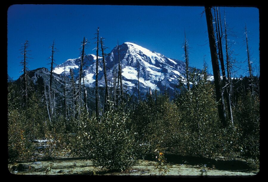
From Paradise and Reflection Lakes, the summit of Mount Rainier stands to the north-northwest. On a summer morning the sun comes up off your right shoulder, lights the summit snow first and leaves the meadows at your feet in blue shade a while longer. From Sunrise, on the northeast side, the mountain sits to the southwest and takes the dawn full on its face. Those two bearings decide most of what follows.
The mountain is 14,410 feet (4,392 m) of glaciated volcano. The Paradise corridor on its south side holds the wildflower meadows and four of the park’s best-known waterfalls; Stevens Canyon Road runs east from there past Reflection Lakes; and on the east side Chinook Pass and the Sunrise road climb into high meadows with Rainier filling the western sky.
Each area opens on its own schedule, and 2026 rearranged the east side: a lightning fire closed Sunrise to cars in August, and a bridge replacement will affect that road from 2027. Paradise is the one high area you can drive to all year, so start there. Rules, fees and road dates here are as of November 2026.
Contents9 parts
- Where each viewpoint faces
- Paradise and the wildflower meadows
- The waterfalls between Longmire and Paradise
- Reflection Lakes and Tipsoo Lake on calm mornings
- Sunrise and the east side
- Road seasons and what is open when
- Fees, timed entry and winter access
- Rules and hazards to know
- Questions people ask about Rainier
Where each viewpoint faces
Rainier makes its own weather, and a clear forecast for Seattle says little about the summit. What you can plan is the geometry: the direction you look from each viewpoint tells you where the sun will be. Check a sun calculator for the exact sunrise and sunset bearings on your date.
| Viewpoint | You look toward the summit | Best light on the mountain | Road season |
|---|---|---|---|
| Paradise meadows (Skyline Trail, Alta Vista) | North-northwest | Early morning and the last hour of daylight | All year (winter gate at Longmire) |
| Reflection Lakes and Inspiration Point | North-northwest | Sunrise, while the water is calm | Summer only (Stevens Canyon Road) |
| Ricksecker Point | North | Morning and evening | Summer only (one-way loop road) |
| Tipsoo Lake, Chinook Pass | West | Sunrise; backlit at sunset | Summer only (SR 410) |
| Sunrise Point and Sunrise | Southwest | Dawn; backlit at sunset | Summer only (Sunrise Road) |
Midday is the weak hour almost everywhere. From the south side the noon sun sits behind you and flattens the glaciers into one white shape. I would spend the middle of the day on the waterfalls, which sit in forest and canyon shade anyway.
Paradise and the wildflower meadows
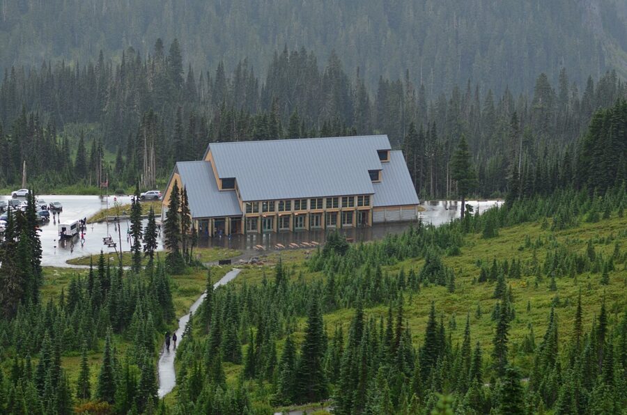
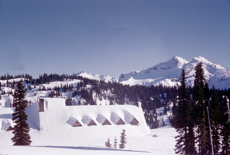
Paradise sits at about 5,400 feet, 19 miles from the Nisqually Entrance and 12 above Longmire, and averages 640 inches of snow a year. That snowpack is why the meadows bloom so late: snow lingers on the trails into June or July, and the flowers then crowd a season into a few weeks. The Henry M. Jackson Memorial Visitor Center and the historic Paradise Inn stand by the upper parking lot, and the main meadow trails start beside them.
When the meadows bloom
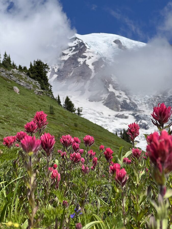
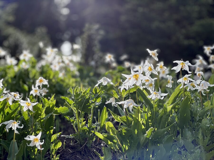
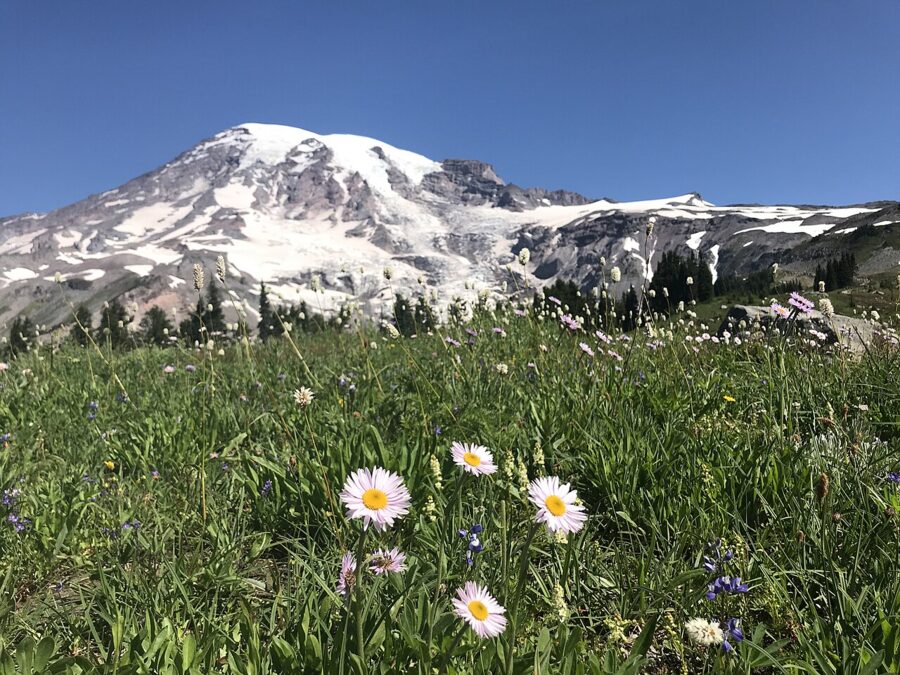
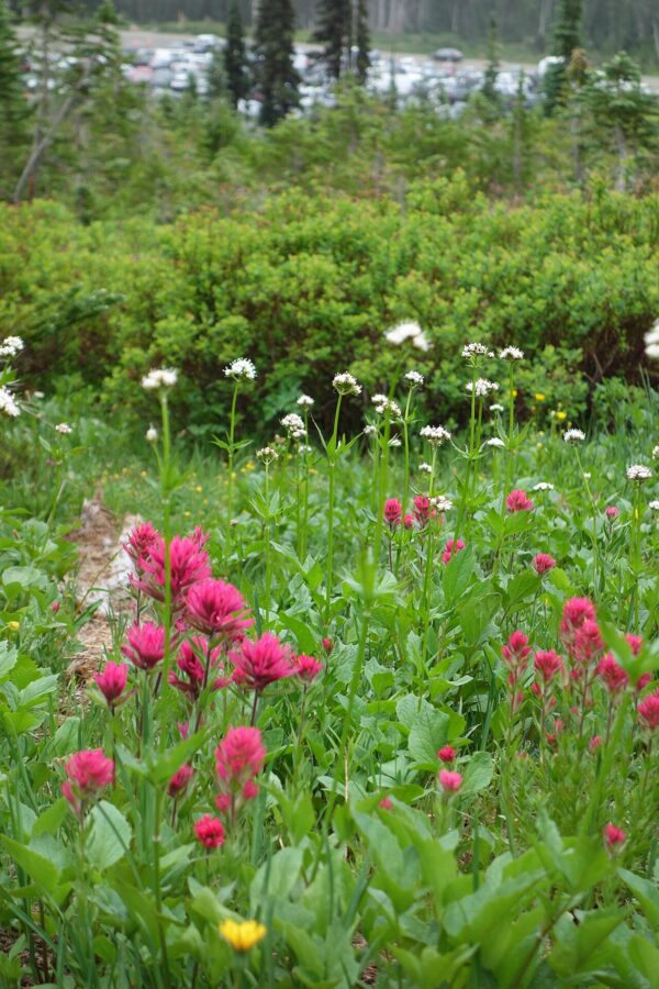
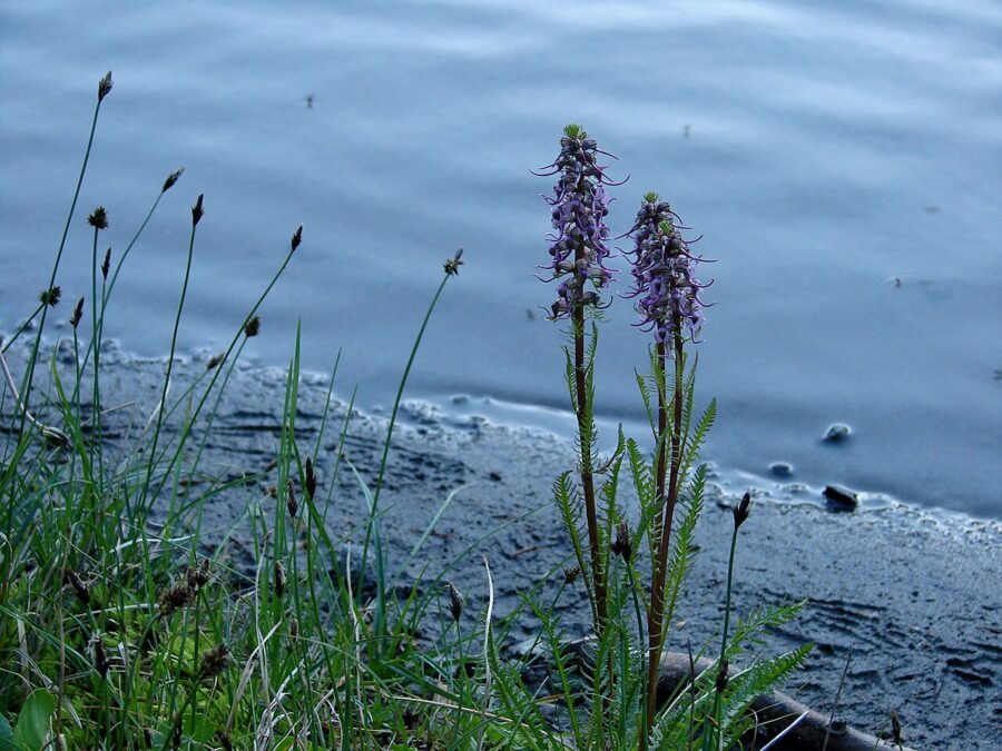
The park says the subalpine meadows usually reach peak bloom from late July to early August. The sequence runs from avalanche lilies at the edge of the melting snow, through lupine, magenta paintbrush and tall white Sitka valerian, to bistort later on. A heavy snow year pushes everything back, and the park’s wildflower status page posts bloom reports through the season.
Deadhorse Creek is the trail the park singles out for flowers that bloom later and often more thickly, so if the main meadows look tired in mid-August, go there. The Nisqually Vista loop, 1.2 miles from the west end of the lower parking lot, is the easiest flower walk. Its overlooks face the Nisqually Glacier, so you get meadow and broken ice in one frame.
Light on the Skyline Trail
The Skyline Trail is a 5.5-mile loop past Alta Vista, Glacier Vista and Panorama Point, back down by Sluiskin and Myrtle Falls. You don’t need the whole loop. Alta Vista, about 1.75 miles round trip, puts you above the meadows with the mountain ahead; Panorama Point, about 4 miles round trip via the Golden Gate trail, is the high view.
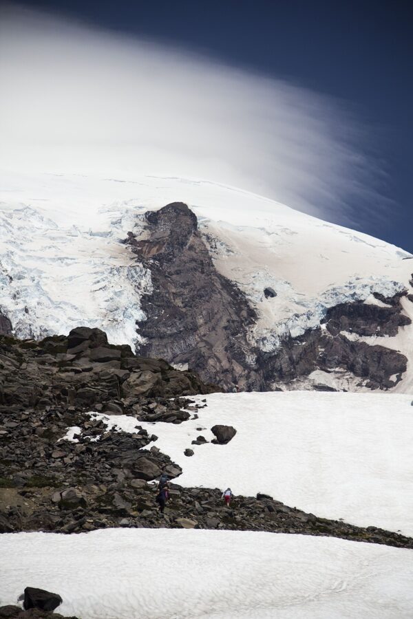
For the mountain itself I would be on Alta Vista at first light, when the summit takes the sun from the east and the meadows are still in shadow. In the evening the light comes from the west-northwest, side-lighting the Nisqually side, and the last pink lands on the summit after the meadows have gone grey.
Stay on the trail
The meadows are fragile and heavily visited, and the park asks everyone to stay on the trails; restoration crews replant trampled ground beside the paths. Shoot the flowers from the trail edge with a longer lens. Pets are not allowed on any trail in the park.
The waterfalls between Longmire and Paradise
Four of Rainier’s best-known waterfalls are on or just off the road from Longmire to Paradise, and three need less than a mile of walking. They suit the flat middle of the day and the overcast days when the mountain is hidden, which here are many.
Christine Falls
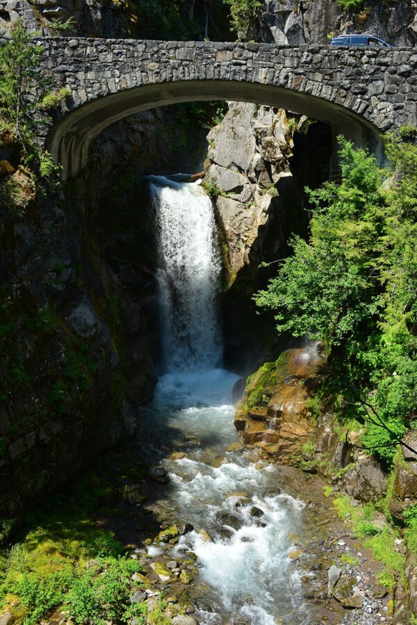
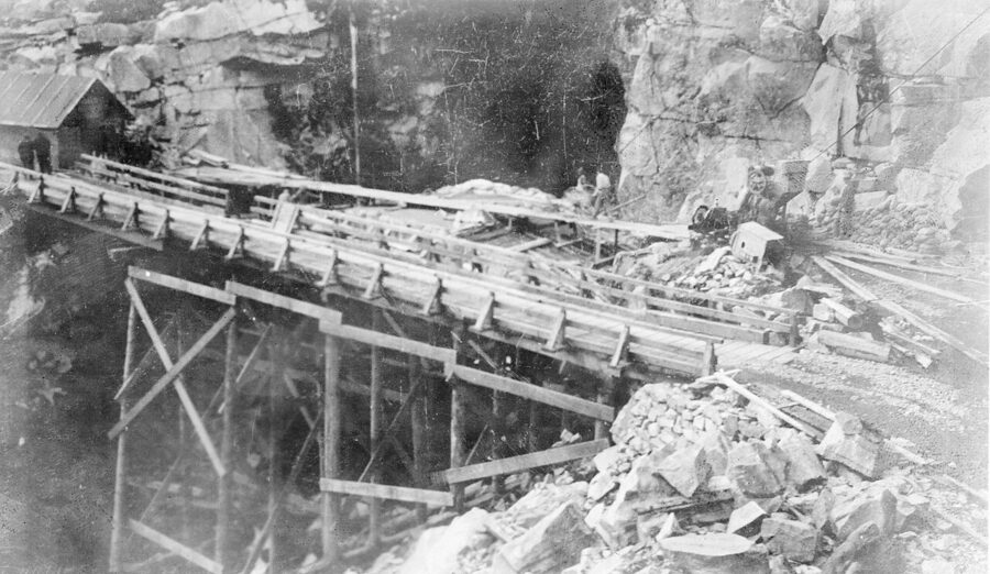
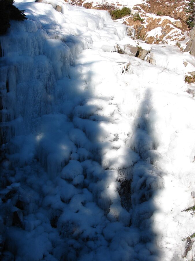
Christine Falls is about four miles up from Longmire, where Van Trump Creek drops through a narrow canyon under the road; the park calls it a 60-foot plunge. Park in the pullouts on either side of the bridge, never in the road, and take the 100-foot path from the uphill pullout down to the viewpoint. It can be icy or buried in winter.
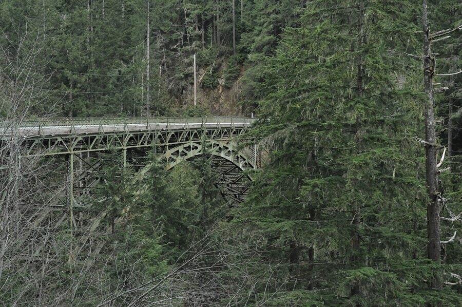
The falls are named for Christine Van Trump, daughter of the early Rainier climber Philemon Van Trump. The bridge was completed in 1928, a reinforced concrete span faced with native stone, and its arch is what makes the picture. The bridge view is next to traffic, so look before stepping back for a wider frame.
Narada Falls
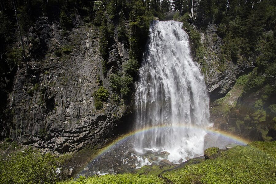
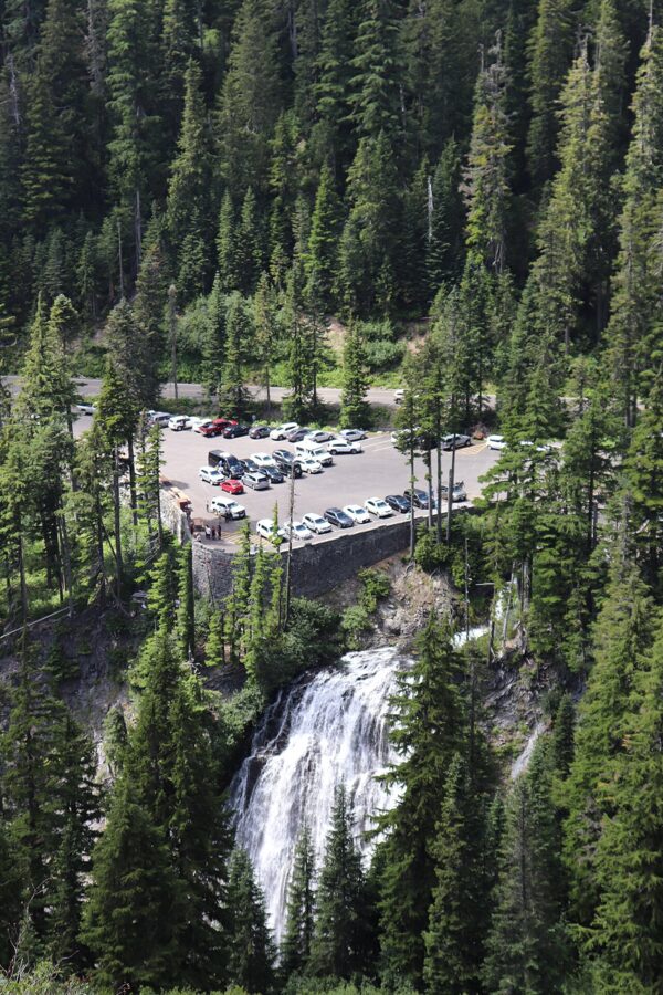
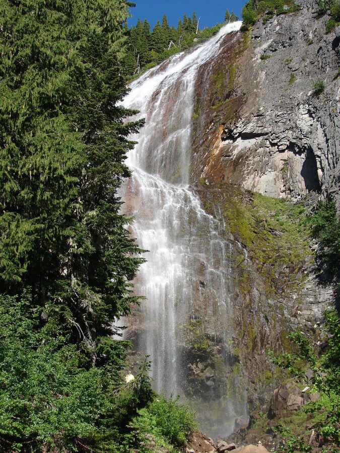
Narada Falls is the big one: the Paradise River pours over a hardened andesite lava flow about three miles below Paradise, with parking just south of the Stevens Canyon Road junction. The drop is roughly 170 to 190 feet. The name dates from 1893, when the Narada branch of the Theosophical Society chose it during an outing; the word is usually glossed as “pure”.
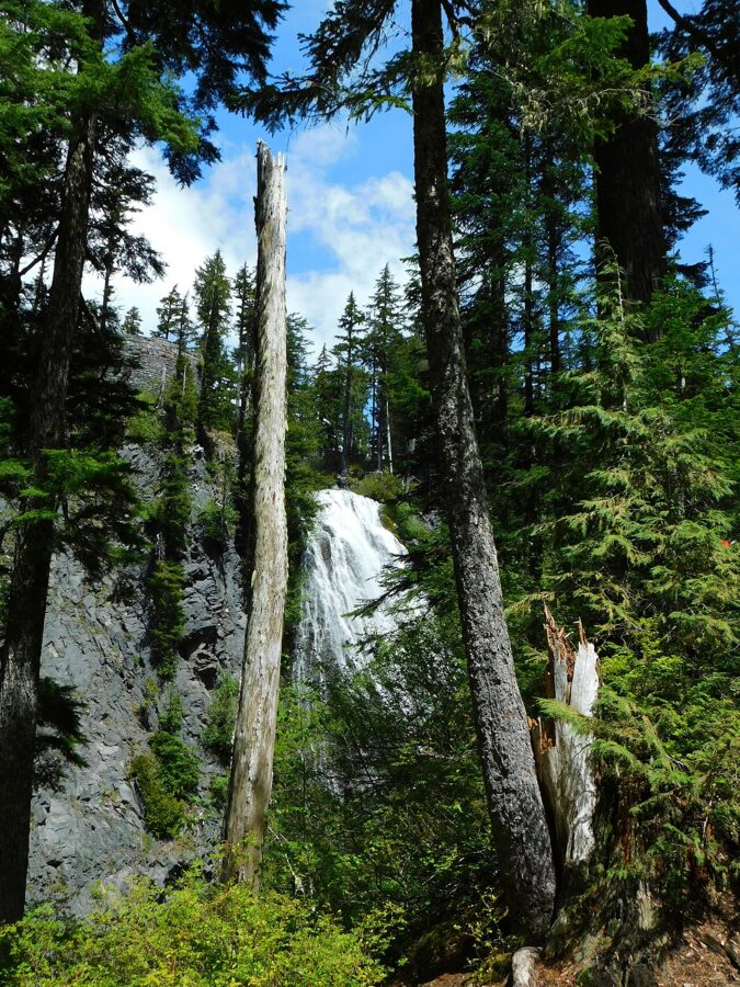
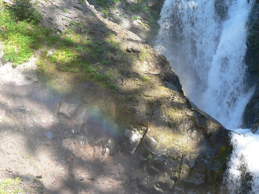
The trail is 0.4 miles round trip with a steep 200-foot descent on steps and roots, and the park warns it can stay icy into early July. On a sunny afternoon the spray throws a rainbow toward the viewpoint. Ruby Falls, 53 feet, is half a mile up the road under the Stevens Canyon Road bridge, best seen from about 200 feet down the Narada trail.
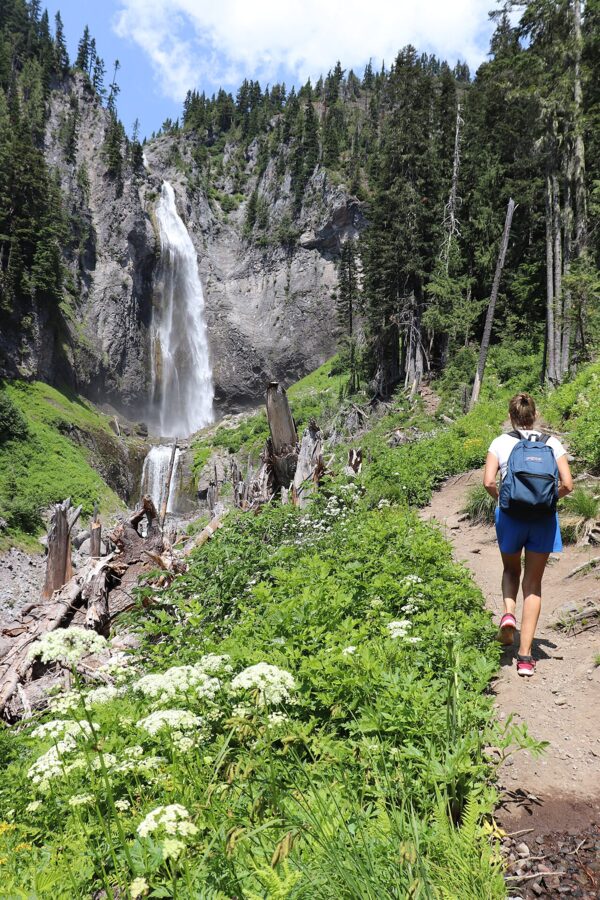
Comet Falls
Comet Falls is the one you earn. The park gives its main drop as over 300 feet, reached by a strenuous trail from a small parking area about four miles east of Longmire. The round trip is about 3.6 miles with roughly 1,200 feet of climbing, and Van Trump Falls, about 65 feet, comes just before it. The park asks you to wait until snow has melted from the trail, and the small lot fills early.
Myrtle Falls
Myrtle Falls is the picture most people come home with: Edith Creek drops into a small gorge with the summit straight behind it. It’s on the paved Skyline Trail from the upper parking lot, about a mile round trip with 100 feet of gain, and the viewpoint is at the bottom of a steep stairway. The drop is 60 to 70 feet.
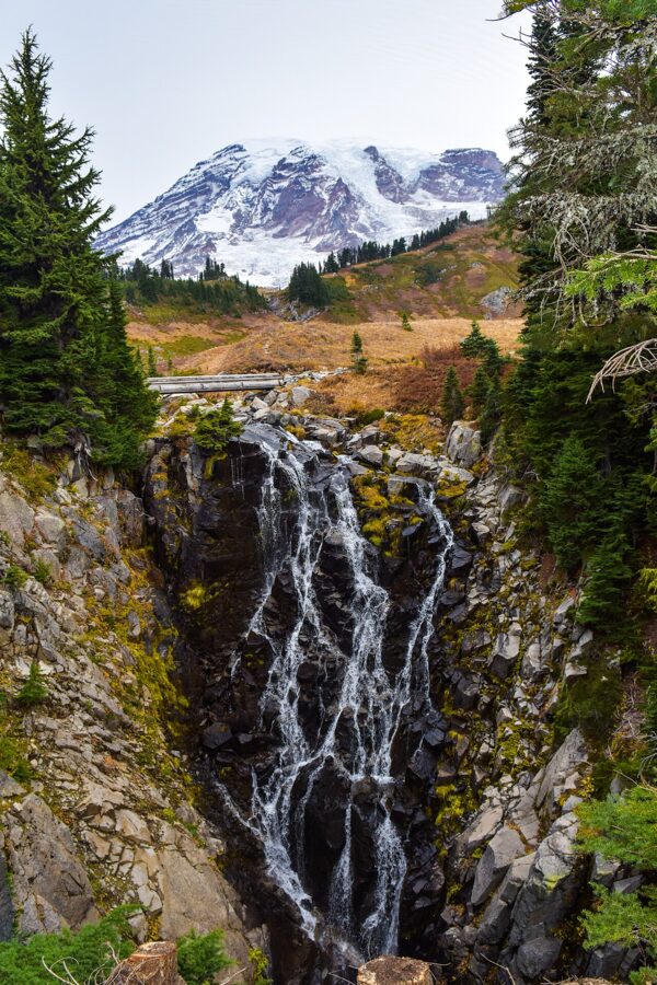
The landing holds only a few tripods, and on summer afternoons there’s a queue. The summit is north of you, so at dawn it lights up while the gorge is still dark, and the dynamic range is hard; I would come at the end of the day or under thin high cloud. The park warns the area is treacherous in spring.
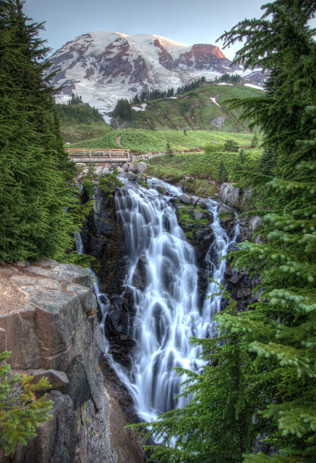
Shutter speeds for moving water
For silky water, start at half a second to one second on a tripod; in full spring flow at Narada and Myrtle, a quarter second keeps some texture. Christine Falls is shaded enough for long exposures without a filter, while Narada in afternoon sun needs a neutral density filter. To freeze the water, go to 1/500 of a second or faster.
Spray on the front element at Narada builds up in seconds, so keep a cloth in your hand. A polarizer takes the glare off wet rock and leaves, and it’s the one filter I would always carry on this road.
Reflection Lakes and Tipsoo Lake on calm mornings
Rainier’s two reflection lakes face it from opposite sides. Reflection Lakes look north-northwest from the south side; Tipsoo Lake looks west from Chinook Pass on the east. Both go glassy on still mornings and ruffle as the day warms.
Reflection Lakes
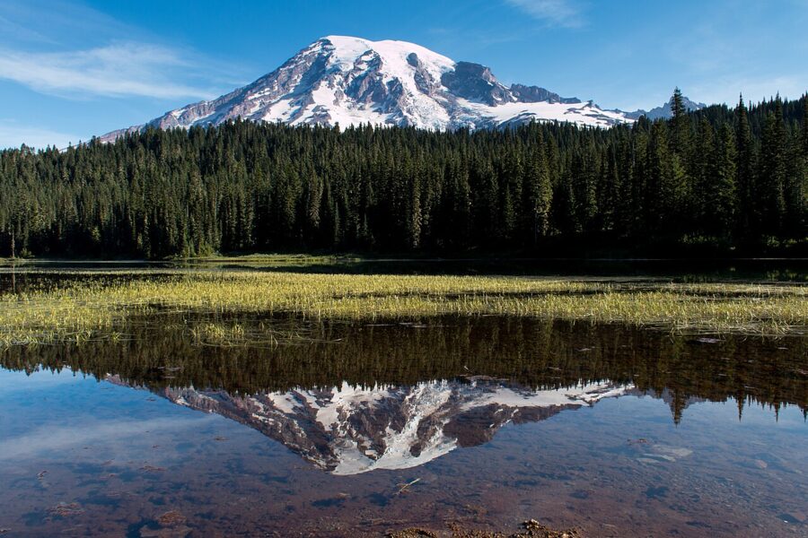
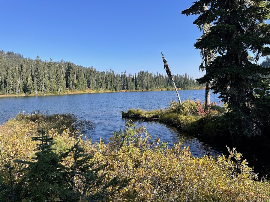
Reflection Lakes are about 1.3 miles east of the Paradise road junction on Stevens Canyon Road, with parking beside the water. The road is summer only; the park gives its usual season as late June through September. On a calm morning the mountain sits upside down in the larger lake with the Tatoosh Range behind you.
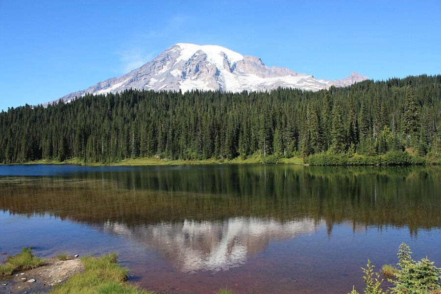
Arrive before sunrise and set up at the pullouts or on the Lakes Trail; hiking in the meadows around the lakes is restricted to trails, and boating and fishing are not allowed. Take the polarizer off, or turn it to its weakest position, because it cuts exactly the reflected light you came for. The 3-mile Lakes Trail loops up to Paradise by Mazama Ridge, and the Pinnacle Peak trail climbs about 1,050 feet into the Tatoosh across the road, with steep drop-offs and snow into summer.
Stevens Canyon beyond the lakes
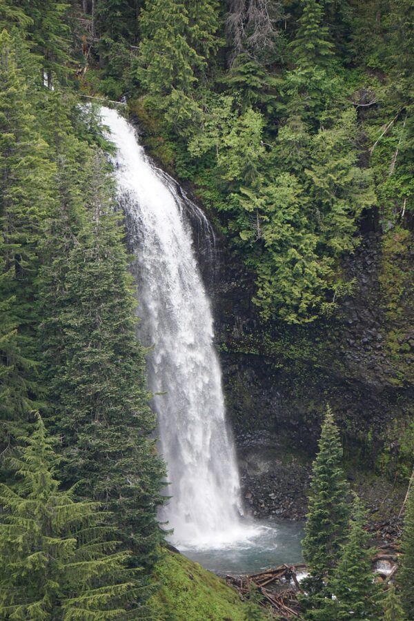
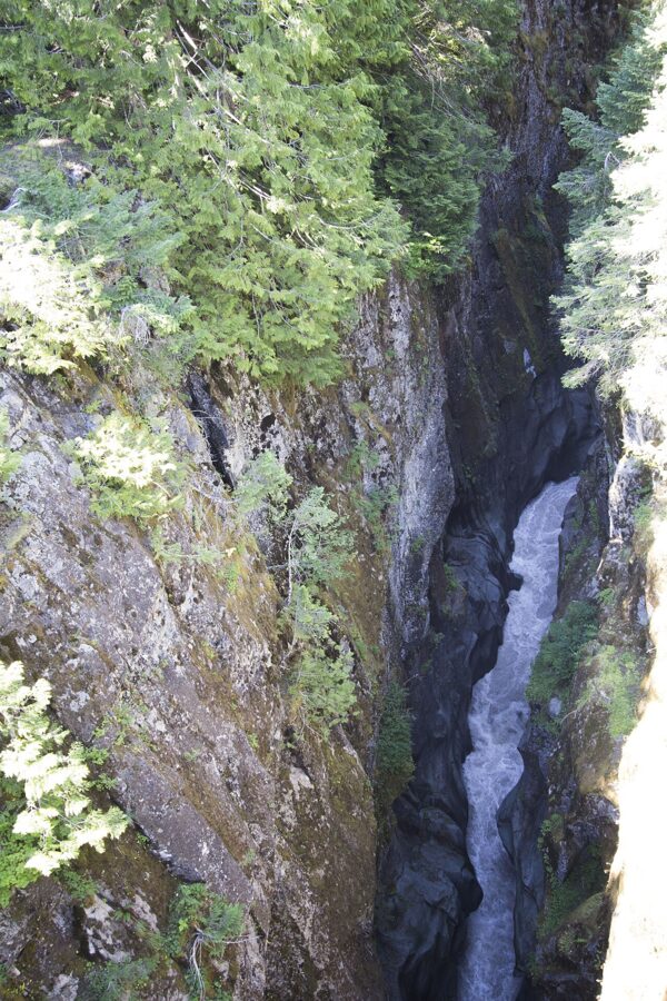
Stevens Canyon Road runs 23 miles from Paradise to SR 123, about 45 minutes of driving. Stop at the pullout for Martha Falls, 125 feet over an andesite cliff across the upper canyon, and at Box Canyon, where the Muddy Fork of the Cowlitz runs through a slot about 180 feet below the road bridge. Fall color here is huckleberry, vine maple and mountain ash.
Tipsoo Lake at Chinook Pass
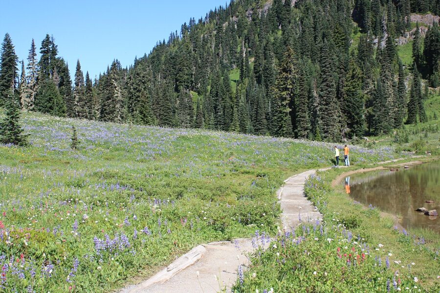
Tipsoo Lake sits beside SR 410 at Chinook Pass on the park’s eastern edge, with the mountain to the west. Vehicle access is generally June through October, and the pass melts out late, so the park puts peak bloom at mid to late July; fall color starts in September.
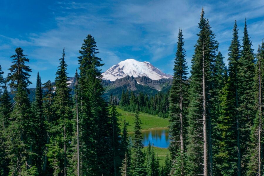
Come in the morning, when the mountain’s face is lit and the lake is usually still; in the evening it’s a silhouette against the western sky. The 3.4-mile Naches Peak Loop climbs to the Pacific Crest Trail and back for views over the pass. Swimming and wading are not allowed, and dogs are not allowed on the loop inside the park or around the lake.
Sunrise and the east side
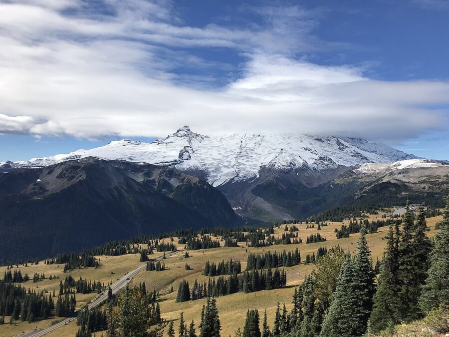
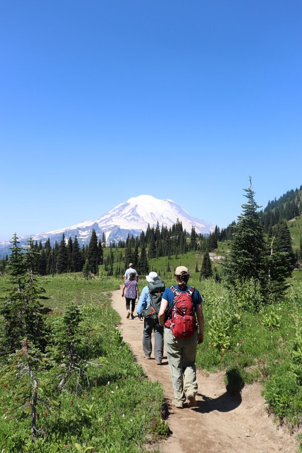
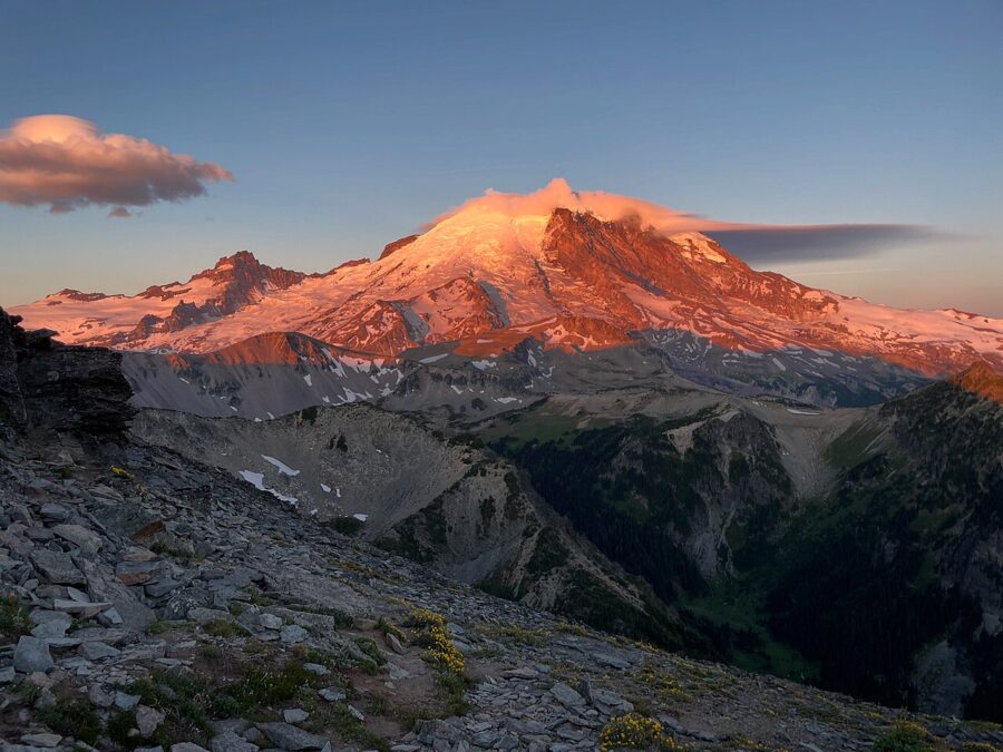
Sunrise, at 6,400 feet, is the highest point in the park you can drive to, about 13 miles and 45 minutes above the White River Entrance. The Emmons Glacier, at 4.3 square miles the largest by area on the mountain, faces you across the White River valley, and at dawn the whole northeast face turns pink, then gold.
Sunrise Point, the rim and the ridges
Sunrise Point is the overlook on the road below Sunrise, facing east over the Cascades, north to Sunrise Lake and southwest to Rainier, with Mount Adams in view on clear days. For a dawn picture of the mountain I would go to the top instead: the mile-long Emmons Vista walk faces the glacier and the full northeast face.
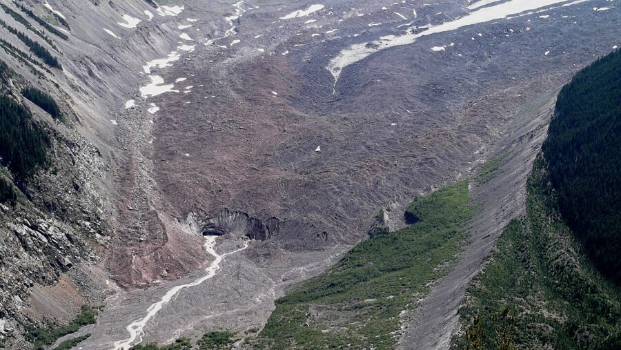
Behind the visitor area, the Sourdough Ridge trail leads to the Frozen Lake loop (3 miles), First Burroughs (4.7 miles round trip) and the Mount Fremont Lookout (5.6 miles round trip); Burroughs takes you closest to the glacier. Sunset is a different picture: the sun goes down behind the mountain, so Rainier becomes a dark shape and the color lands on the eastern Cascades. Overnight vehicle camping is not allowed in the Sunrise lot or the pullouts.
The 2026 closures and the bridge project
The Grand Park 2 Fire was reported on August 7, 2026, about three miles north of the Sunrise Visitor Center, and the park closed the Sunrise area to all public access. From September 5 the Sunrise Road reopened to walkers and cyclists but not cars. As of the park’s November 18 update, the Grand Park 2 Fire and the Wonderland Complex fires were still burning and expected to go out on their own, and all trails in the Grand Park area were closed until further notice.
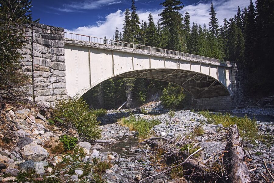
The park also closed Sunrise Road and White River early, on October 1, to prepare for replacing the 1931 Fryingpan Creek Bridge, and expects travel and trailhead impacts from about 2027 to 2029; the Summerland trailhead is closed through 2029. The road usually opens in late June or early July. For 2027, check the park’s road status and alerts pages before you plan an east-side dawn, including whether the Mount Fremont Trail has reopened.
Road seasons and what is open when
Only one road into the high country stays open all winter, from the Nisqually Entrance through Longmire to Paradise. Everything else is summer only, and the dates move with the snow.
| Road or area | Usual season | Status, November 2026 |
|---|---|---|
| Nisqually Entrance to Longmire | All year | Open |
| Longmire to Paradise | All year, winter gate schedule | Open by day; closed at night |
| Stevens Canyon Road | Late June through September | Closed for the season |
| SR 410 Chinook Pass | Generally June through October | Closed for the season |
| SR 123 Cayuse Pass | Summer | Closed for the season |
| Sunrise Road | Late June or early July to late September or early October | Closed; bridge work 2027 to 2029 |
| Carbon River and Mowich Lake | No public road access | Fairfax Bridge on SR 165 permanently closed |
The Fairfax Bridge on SR 165, outside the park, is closed to cars, bikes and walkers, so Carbon River and Mowich Lake have no public road access; Spray Falls, 354 feet, is now a long backcountry trip. The Grove of the Patriarchs is closed too, after 2021 flooding damaged its suspension bridge, with replacement planned for 2027 and 2028.
Fees, timed entry and winter access
There is no timed-entry reservation anywhere in the park in 2026; the park announced that on February 25, 2026, after pilots in earlier years. It manages crowding by parking control, and advises coming before 7 am or after 4 pm, on weekdays, with a second destination in mind if a lot is full. It has not announced plans for 2027, so check its timed-entry page in spring.
Entrance fees, as of November 2026:
- Private vehicle: $30, valid for seven consecutive days.
- Motorcycle: $25, seven days.
- Per person on foot or bicycle: $15, seven days.
- Mount Rainier annual pass: $55, for US citizens and residents.
- America the Beautiful: $80 resident annual pass, $250 non-resident annual pass.
Fee-free days for US citizens and residents are listed on the park’s fees page. There is no gas inside the park.
Winter at Paradise
From November 1 to May 1 every vehicle in the park must carry tire chains, four-wheel drives included, whatever the weather. The Longmire to Paradise road is gated at night: the gate usually opens at 9 am, the uphill gate closes at 3 pm and the downhill gate at 4 pm, so leave Paradise by 3:30 pm. The road is checked each morning and can open late or stay shut.
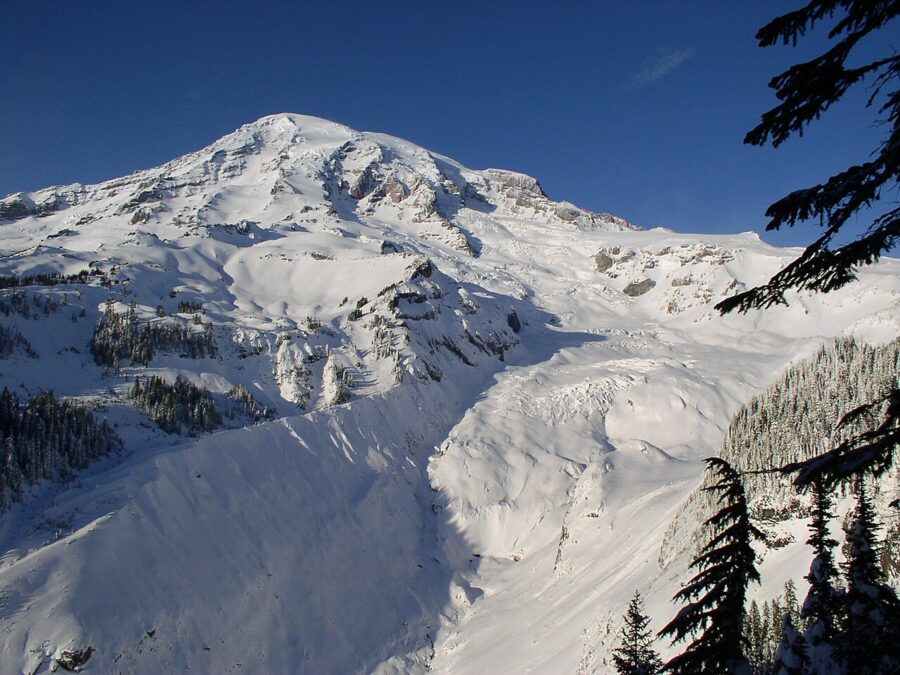
The gate schedule rules out sunrise and sunset at Paradise most of the winter; in exchange, low sun crosses the snow all day. The Jackson Visitor Center opens 10 am to 3:30 pm on weekends and holidays in early winter. Ranger-led snowshoe walks usually run on weekends from late December through March at 11 am, with sign-up an hour before, 25 people aged eight and up, about 1.5 miles in two hours.
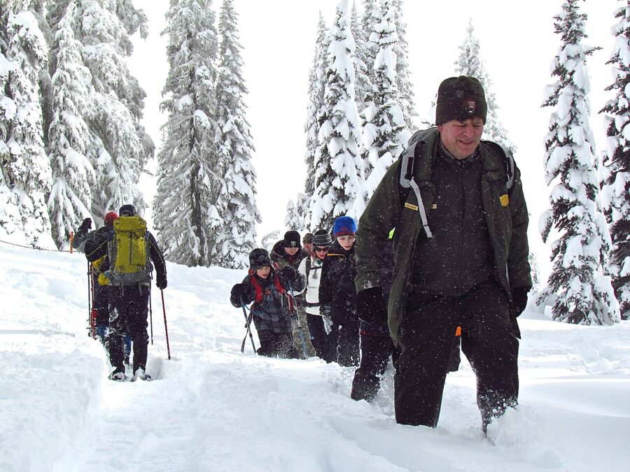
Reflection Lakes become a snowshoe trip, since Stevens Canyon Road is not plowed. The park warns of avalanche zones, unstable snow bridges and steep drop-offs around Paradise, so check its winter safety page and the forecast first.
Rules and hazards to know
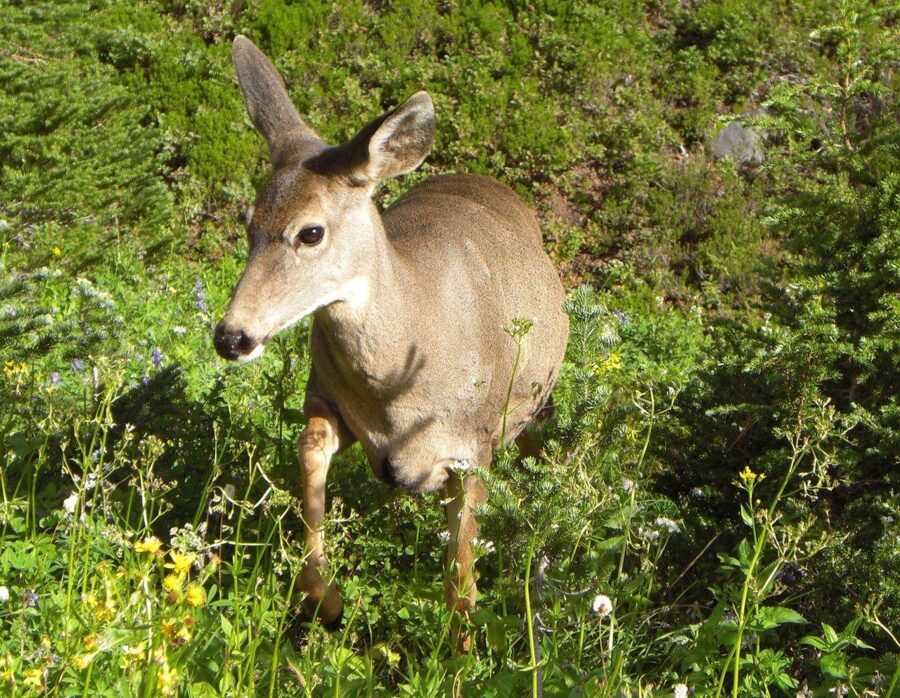
Drones are banned everywhere in the park, including launching and landing. The fine can reach $5,000, and 97 percent of the park is designated wilderness, where a drone launch can also break the Wilderness Act. Approaching or feeding wildlife is prohibited, and pets are allowed only in parking lots and along roads open to cars.
The US Geological Survey rates Rainier’s threat potential “very high”, and calls lahars, volcanic mudflows that have reached the Puget Sound lowlands, its greatest hazard. The Kautz Creek pullout on the road in from the Nisqually Entrance shows what the 1947 mudflow did to that creek.
Questions people ask about Rainier
Why is Mount Rainier so famous?
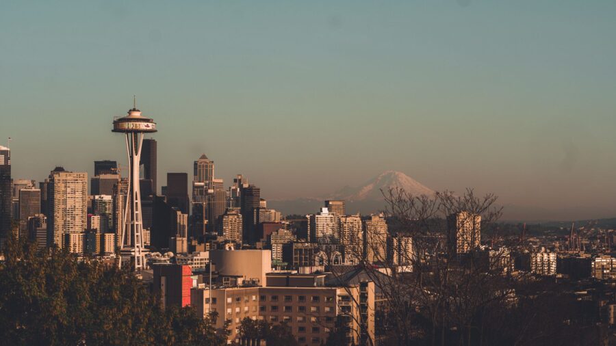
At 14,410 feet it is the highest peak in the Cascade Range, with 28 major glaciers and about 30 square miles of ice and snow. Its last magmatic eruption was about 1,000 years ago, and it stands alone above Seattle and Tacoma, filling the horizon from the whole region. The classic city view is from Kerry Park in Seattle, where the mountain rises behind the skyline.
Which visitor center is best?
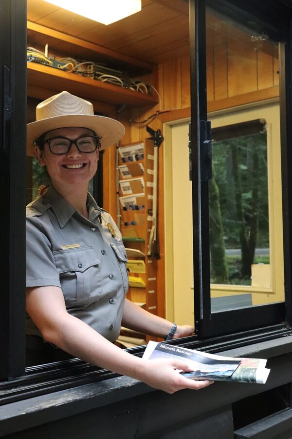
The Henry M. Jackson Visitor Center at Paradise: it’s open all year and the meadow trails start behind it. The Sunrise Visitor Center, generally open early July to early September, faces the Emmons Glacier when the road is open. The Longmire Museum, open all year, has winter road and ski information.
Is Mount Rainier good for beginners?
Yes, on the short walks. Christine Falls is 100 feet from the road, Narada Falls 0.4 miles round trip, and the Nisqually Vista loop and Myrtle Falls about a mile each. The best light of the day is at the roadside lakes.
Can you go to the top?
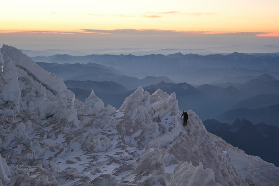
Only as a climber. Every member of the party registers, pays the climbing cost recovery fee, $82 per person as of November 2026, and holds a wilderness permit in the high-use season; popular routes include Disappointment Cleaver and the Emmons-Winthrop. The park’s climbing rangers are the people to ask about conditions.
With one summer morning, be at Reflection Lakes before first light with the polarizer in your pocket, then drive up to Paradise for the meadows as the cloud lifts. Save the waterfalls for midday, and come back to Myrtle Falls for the last hour.