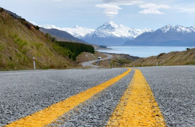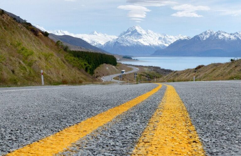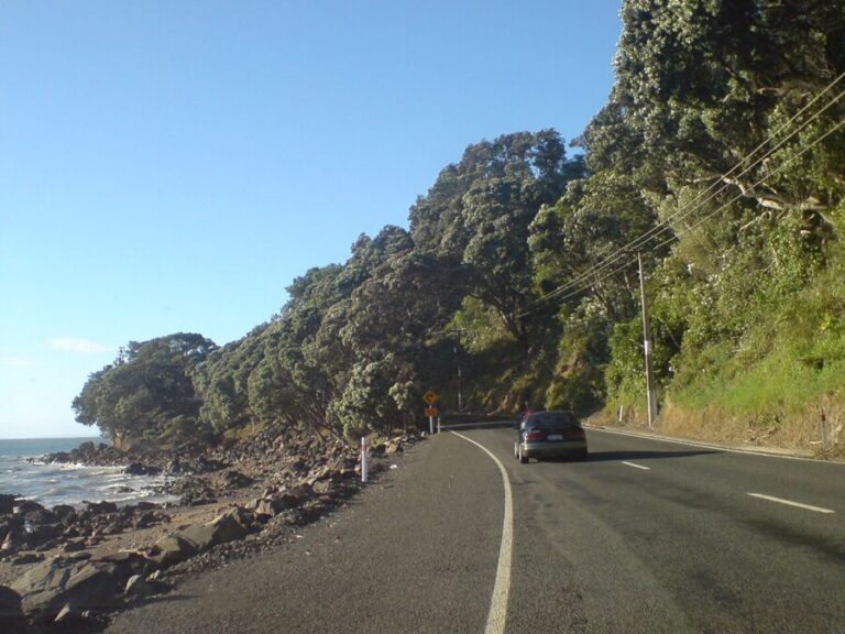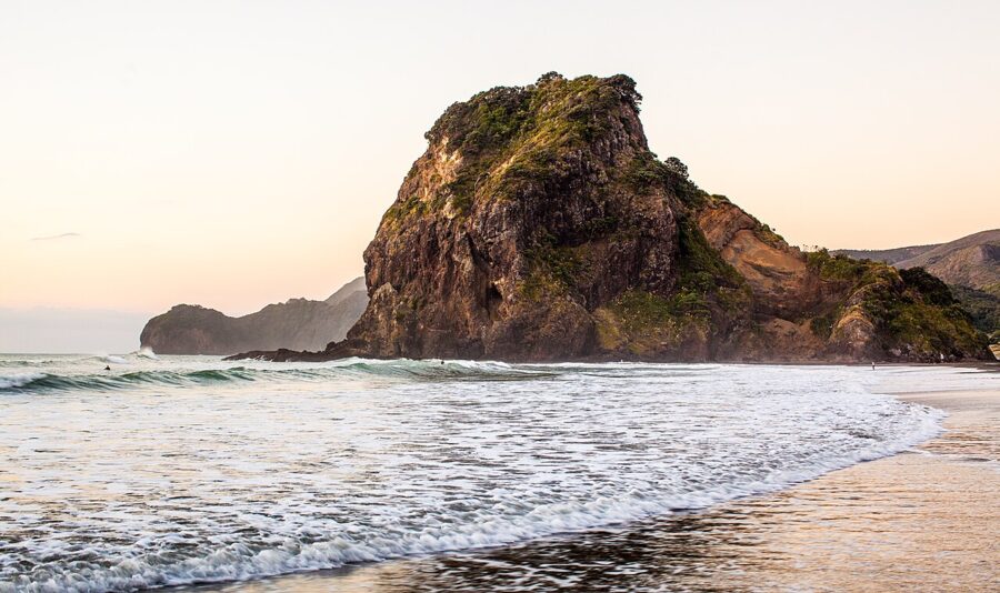
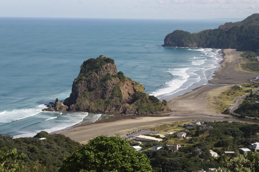
Piha Road tips over the top of Piha Hill and the whole bay opens below you at once: black sand running north and south, surf stacked out to the horizon, and Lion Rock squatting in the middle of the beach as if put there to split it in two. The lookout at the top of the hill faces out to sea, so from late morning on you are looking into the light. Lion Rock goes black, the Tasman turns to foil, and the picture is made before you have parked.
Piha is about 39 kilometers west of central Auckland, on the wild side of the Waitākere Ranges, and it is New Zealand’s most famous surf beach for good reasons and bad ones. The sand is iron, the rock is the throat of a volcano, and the rips keep Piha Surf Life Saving Club among the busiest in the country. In the 2025-26 patrol season only one club in New Zealand made more rescues.
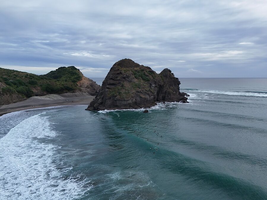
So this is a place to photograph with one eye on the water. Its most famous viewpoint, the top of Lion Rock, has been shut since the storms of early 2023 and will stay shut for a while yet. What follows is where you can stand now and when the light works from each spot.
Contents7 parts
A volcano’s throat on a beach of iron
The Waitākere Ranges are the eroded eastern slopes of New Zealand’s largest cone volcano, the Waitākere Volcano, which erupted off and on between about 23 and 15 million years ago from a vent out where the Tasman Sea is now. Lion Rock is one of the later vents on its flank, erupted about 17 million years ago. As geologist Bruce Hayward describes it, breccia and scoria fell back into the open throat of the vent and were then shot through by tongues of andesite lava that cooled into hard rock.
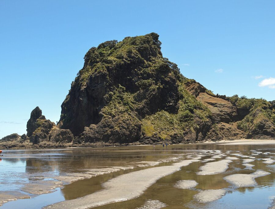
The softer conglomerate around the vent has worn away, leaving the plug standing on the beach. At low tide, look at the cliff base on the south side near the high tide line for a spindle-shaped volcanic bomb, a blob of lava that spun as it flew and set before it landed. The honeycomb pattern on the outer face is salt crystals growing in the rock and prising it apart.
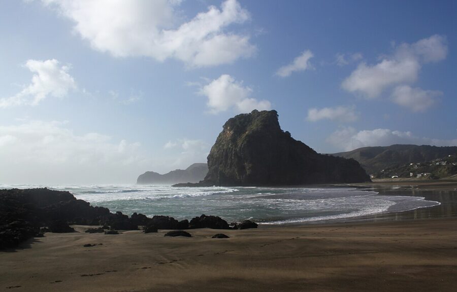
The name came before the lion. Te Kawerau ā Maki, the iwi of this coast, called the rock Te Piha, after the divided ripple a canoe’s prow throws up, the pattern waves make breaking on its seaward face. The rock was also a fortified pā, Whakaari, and archaeologists have recorded terraces, platforms and middens on it. In December 1919 a memorial to local sawmillers who served in the First World War was unveiled there.
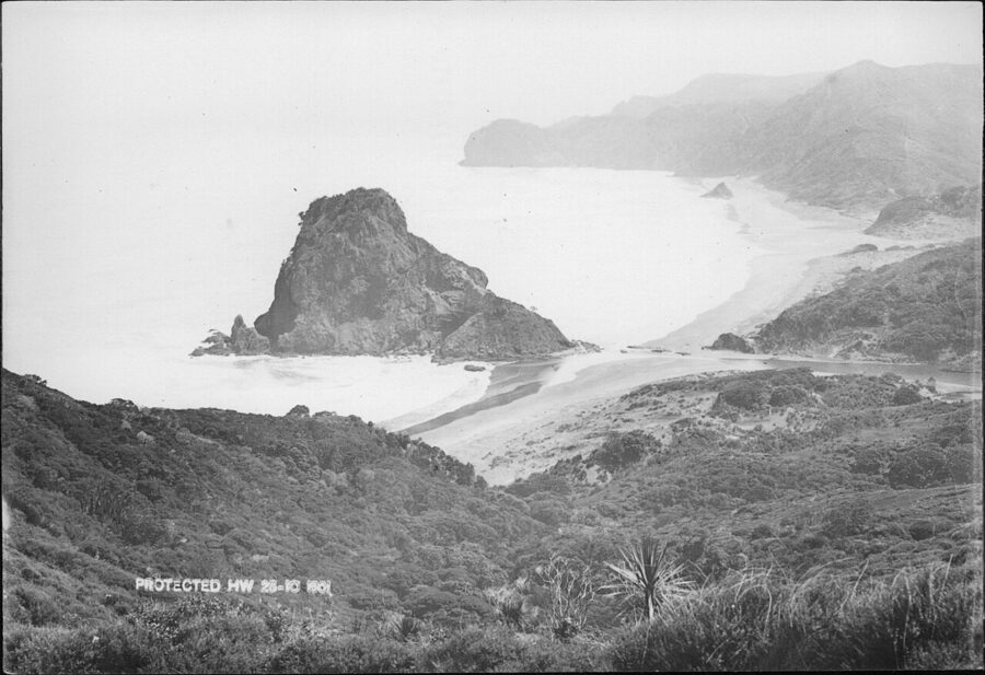
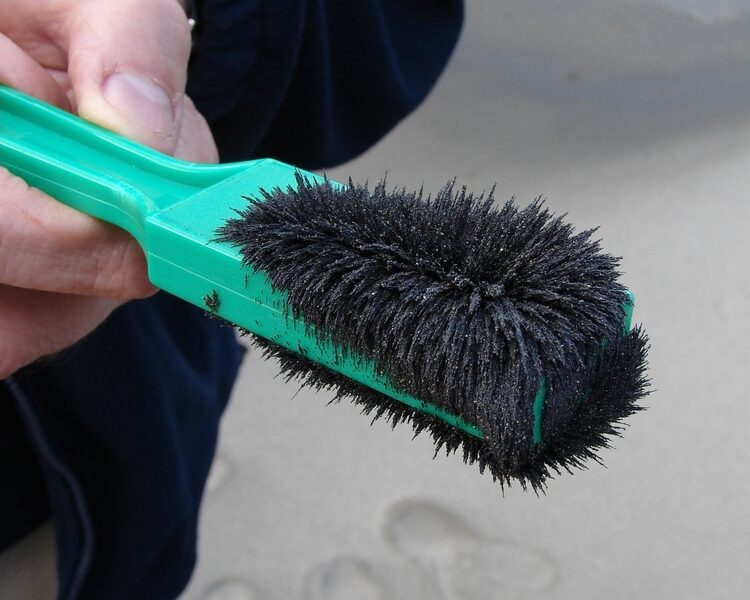
The black sand is titanomagnetite, iron-rich grains washed up this coast from Mount Taranaki and older volcanoes to the south. Drag a magnet through it and it comes up furred like a bottle brush. On a summer afternoon it gets hot enough to burn bare feet.
Lion Rock now: what is open
Before the storms of January and February 2023, a steep track climbed part way up the back of Lion Rock to a viewing point over both beaches. The last scramble to the summit was off-limits even then. The storms damaged the track and the ground around it, and Auckland Council closed it.
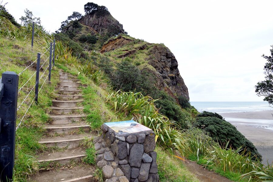
As of the council’s May 2026 track update, the summit track remains closed because the rock is unstable and unsafe, and a stronger fence was going in near its start. The rock is a registered archaeological site, which limits what engineers can do, and the council’s rangers have said reopening it faces significant challenges. They have also reported people climbing past the closure on a rock where people have been seriously hurt or killed.
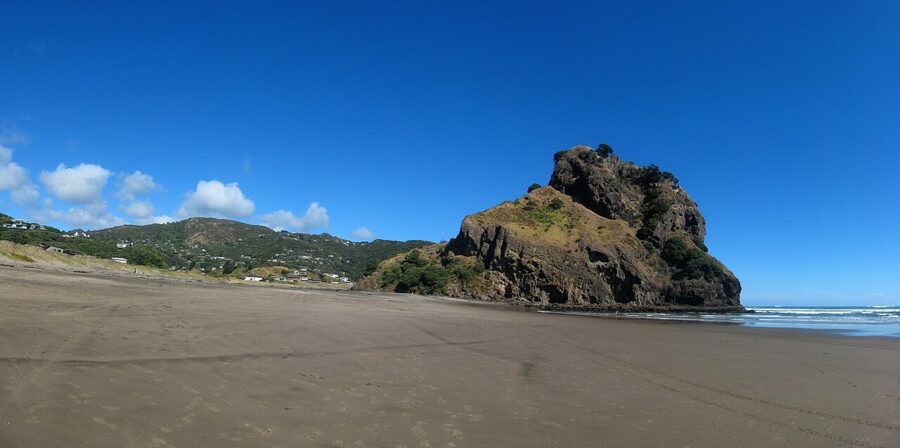
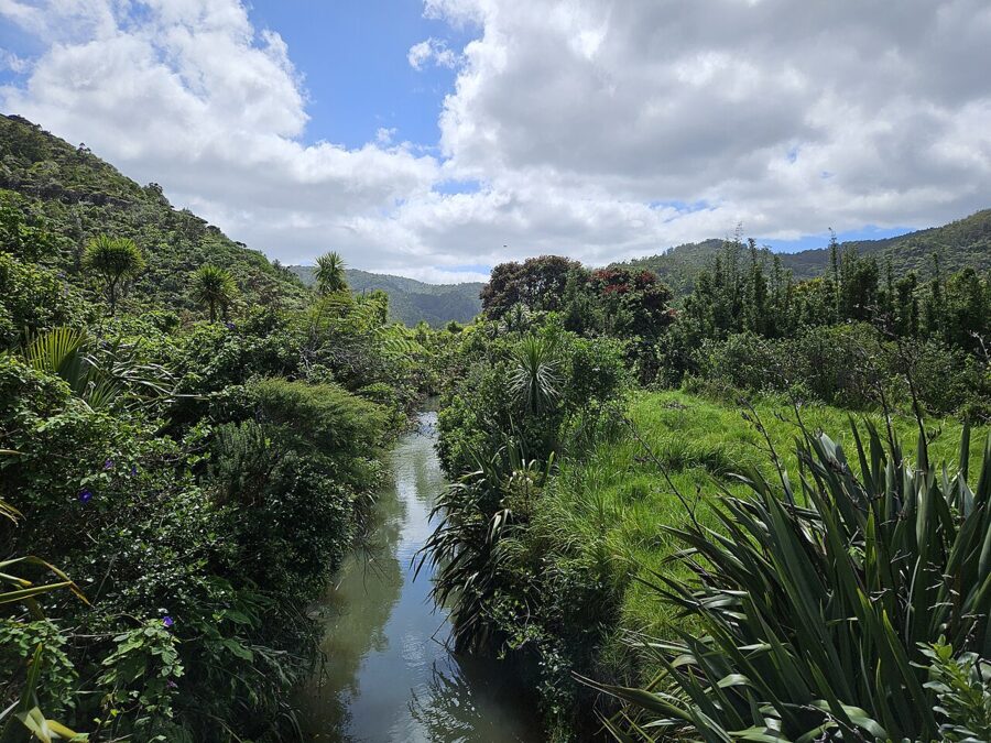
You can still walk around the base of the rock. Piha Stream runs out to sea on its landward side, and at normal flow you wade across with wet ankles, more easily as the tide drops. After heavy rain it floods and runs fast, so don’t cross it then. Keep back from the cliff base, where rock falls and where a bigger wave can surge around the rock on a rough day.
Swimming, rips and the flags
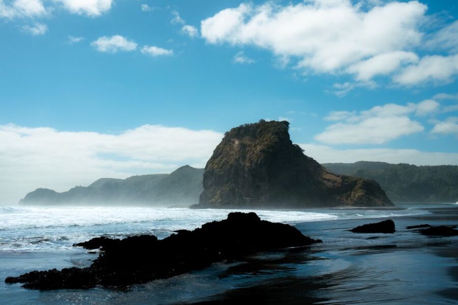
Piha’s surf looks friendlier than it is. The rips here move with little warning, and lifeguards say the water fools swimmers by looking calm while it pulls hard. On a January evening in 2023 two men drowned just north of Lion Rock after the day’s patrol had finished.
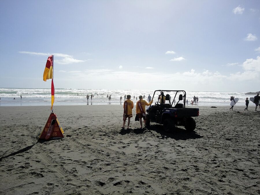
Piha Surf Life Saving Club patrols the beach south of Lion Rock, and United North Piha Lifeguard Service the beach to the north. Volunteer patrols run on Saturdays, Sundays and public holidays from Labour Weekend in late October to Easter, from 10 am until at least 5 pm. Regional lifeguards add weekday patrols from December to March. In winter nobody patrols Piha at all.
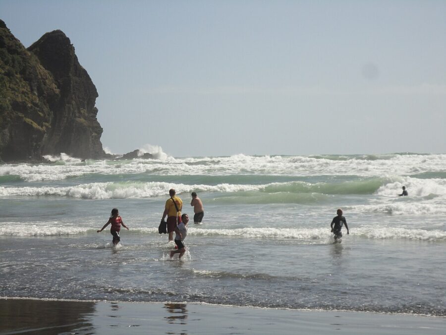
Swim between the flags, only while lifeguards are on duty, and stay out if you are not confident in surf. If someone is in trouble when no lifeguards are there, call 111 and ask for Police, who send the local surf rescue squad.
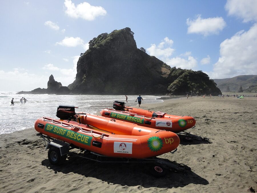
Rock fishing is the other killer here. Three rock fishers died on Auckland’s west coast in the 2025-26 season alone, and the ledges around the Gap have a long history of people washed off them. With a camera on the rocks, the rule is the same: never turn your back on the sea.
Photographing Piha
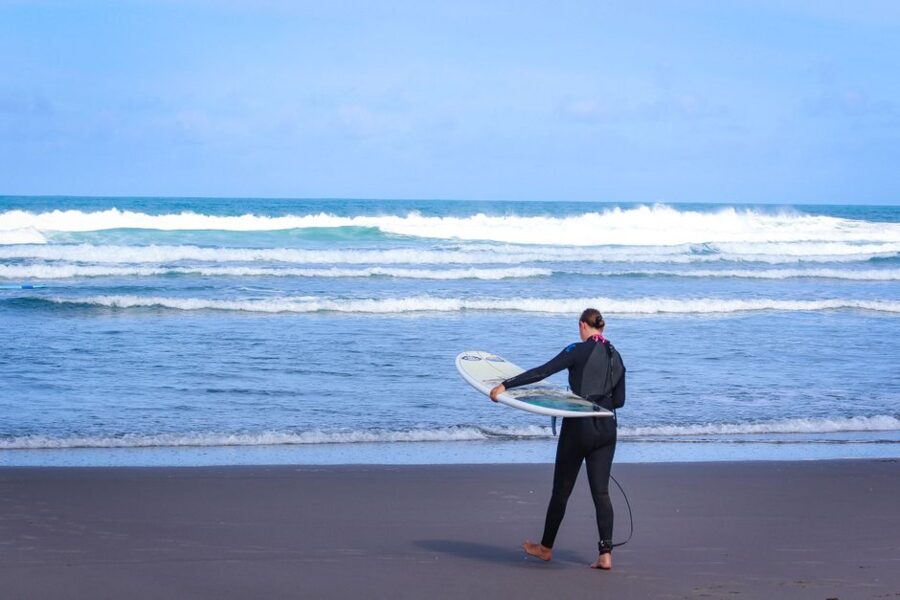
The beach faces west across the Tasman Sea, and that decides almost everything. In the morning the sun comes over the ranges behind you and lights the rock and surf from the land side. In the afternoon and evening you shoot toward the sun, which is when Piha does silhouettes, silver water and sunsets.
The lookout on the road in
The lookout sits on Piha Road at the top of the hill, just before the road drops into the valley, with the whole bay below and Lion Rock in the middle. It is the frame everybody takes, and it is better at either end of the day than in the middle.
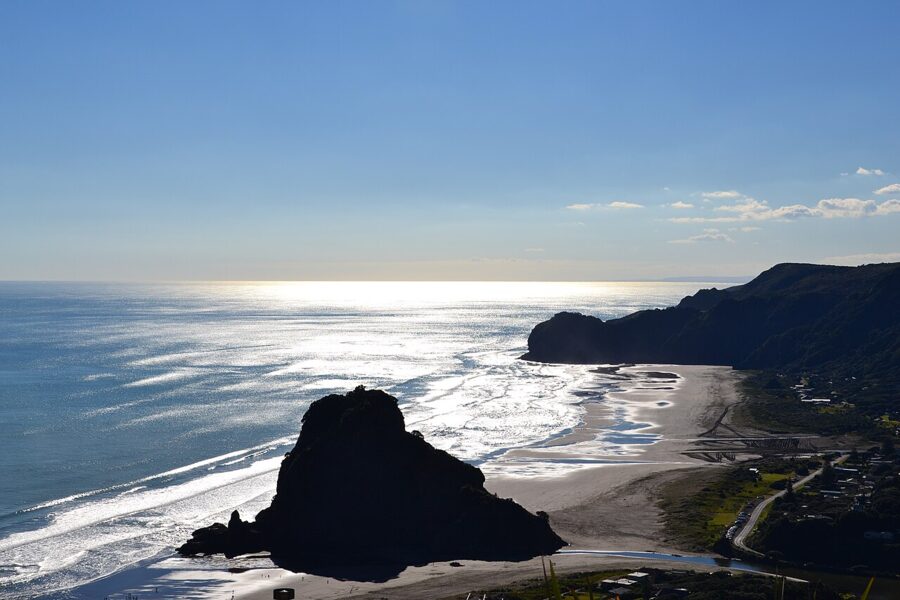
In the morning the light falls on the bay from behind you and the surf shows white against blue water. From mid-afternoon the scene is backlit, good for silhouettes and poor for color. For sunset, check a sun calculator for the date: Piha is far enough south that the sun sets well south of west in midsummer and well north of west in midwinter.
Lion Rock from the sand
From South Piha the rock is to your north-west, so the sun sets to its left all year, closest around the June solstice. From North Piha the rock is to your south, the sun sets to its right, and evening light falls on its seaward side. Pick your side by the season and by whether you want the sun in the frame or on the rock.
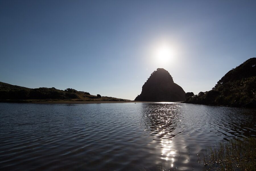
Low tide gives you the reflections. Water draining off the flat sand leaves a thin skin over the black grains that mirrors the rock and the sky, and the best of it lasts about an hour either side of low tide. Check a tide table before you go.
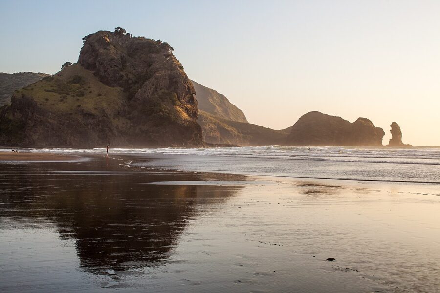
Long exposures and the surf
A tripod and a neutral density filter turn the surf into mist around the rock, and half a second gives the backwash streaks. Push the tripod legs in hard on wet sand, because each wave sucks them deeper and tilts the horizon. Spray reaches farther than you expect, so carry a lens cloth.
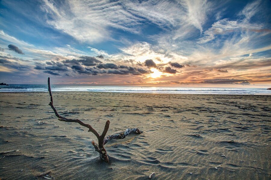
Stay off the rocks at the base of Lion Rock in a big swell, however good the waves look from there. Bigger sets run farther up the beach than the ones before them, and the safest long exposure is shot from dry sand with a longer lens.
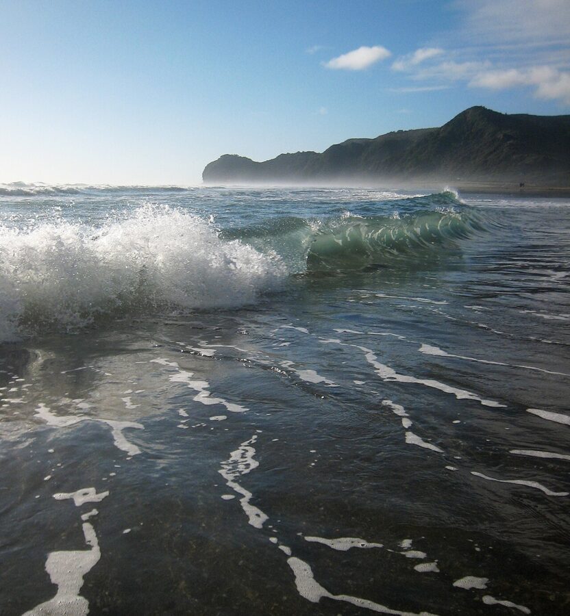
The Gap, Taitomo Island and Nun Rock
At the south end of the beach the cliffs come down to a tidal flat and a cluster of rocks. Taitomo Island, also called Camel Rock, is the only land on this coast still owned by Te Kawerau ā Maki, and a tunnel called the Keyhole runs through it along a volcanic dike. Nun Rock stands just seaward of it. The blowhole nearby, Te Rua o Kaiwhare, is by tradition the lair of the taniwha Kaiwhare.
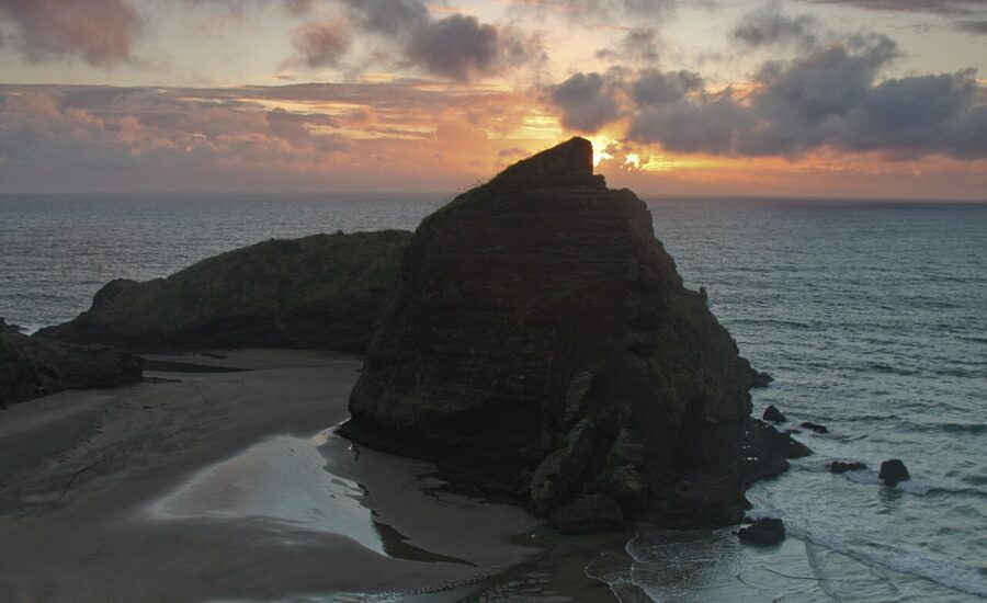
Past Taitomo, the Gap is a narrow slot in the cliffs where the sea surges into a sandy pool, the best sea arches and blowholes on this coast. You reach it along the beach at low tide, past a dripping cliff called Green Rock. The Tasman Lookout Track, which gave all-tide access over the top, has been closed since 2023, and the council plans a new entrance farther seaward. Until then, go out on a falling tide and be back before the flat floods.
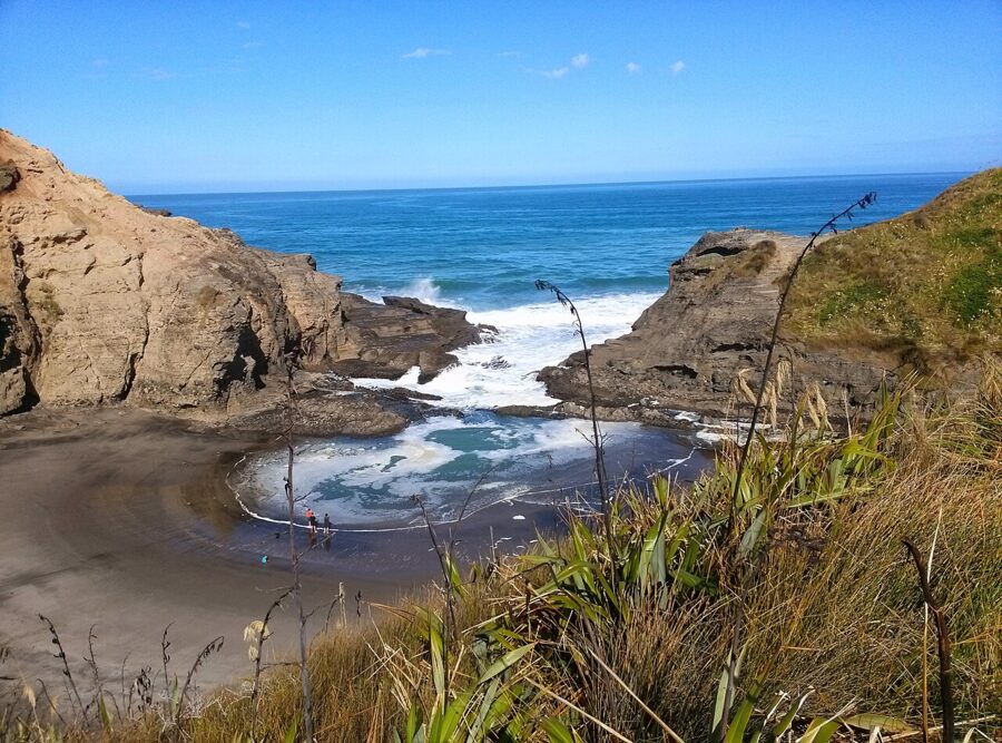
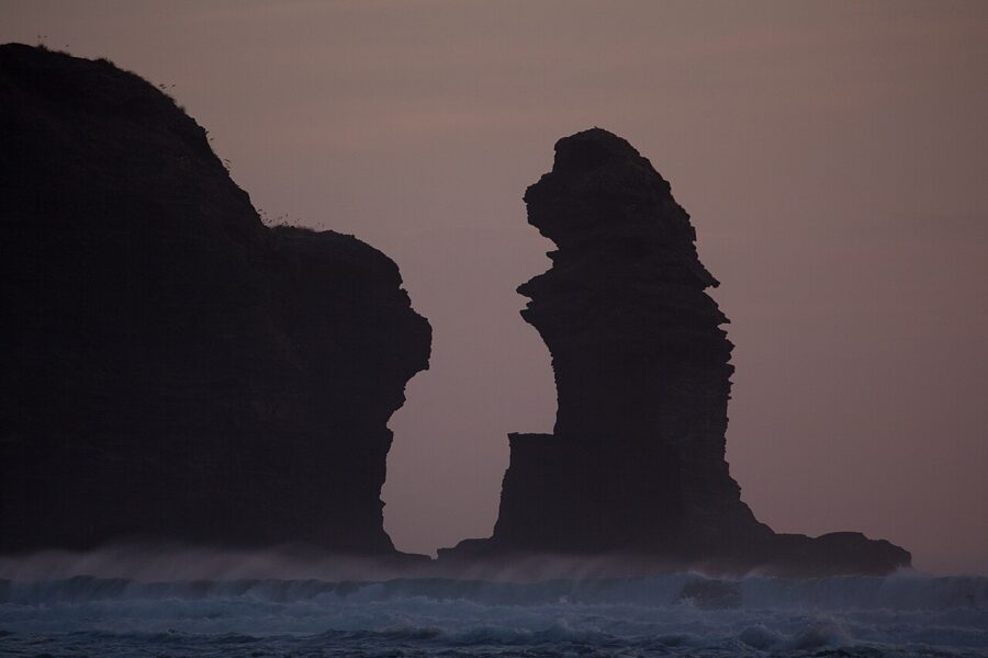
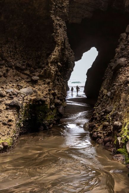
North Piha and Monkey Rock
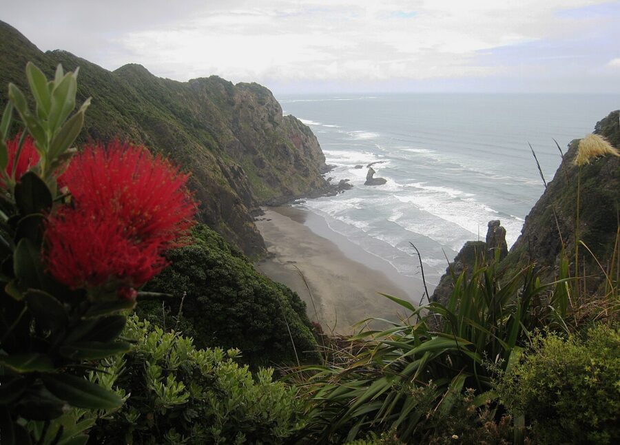
North of Lion Rock the beach runs on for kilometers, wider and quieter, past Monkey Rock, also called Cub Rock and, in Māori, Makimaki. Go there when the south end is busy, and for the evening light on the seaward face of Lion Rock.
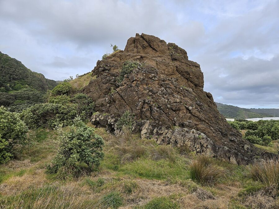
Most of the land around Piha is in the Waitākere Ranges Regional Park, where Auckland Council requires a permit to fly a drone. The rules and the application form are on the council’s drone pages.
Kitekite Falls
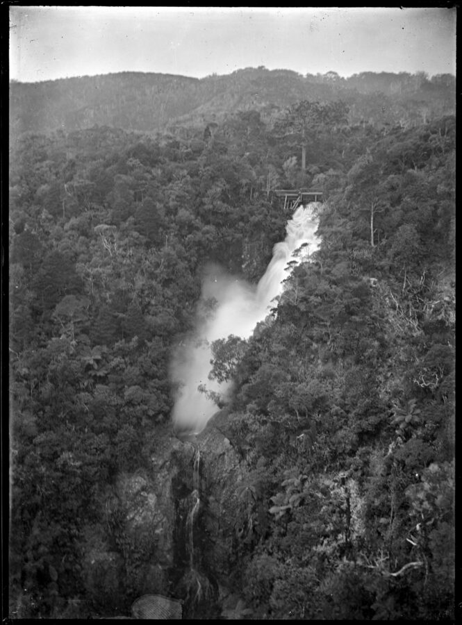
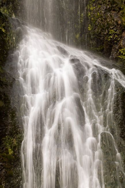
Behind the village, up the Glen Esk Stream, Kitekite Falls drops about 40 meters in three tiers into a pool in the bush. The walk starts at the car park at the end of Glenesk Road, and the walk takes about an hour return. The track follows the stream through nīkau palms and young kauri to a lookout bench facing the falls, then drops down steps to the pool.
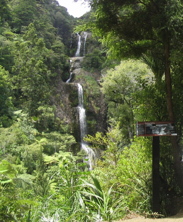
Access was restored after the 2023 storms, but the council says more work is needed, and the track can close after heavy rain. The old loop back via Knutzen Track lost its bridge in a 2023 flash flood. As of May 2026 a new bridge was being built to reopen part of it, with a second crossing over Glen Esk Stream planned later in the year.
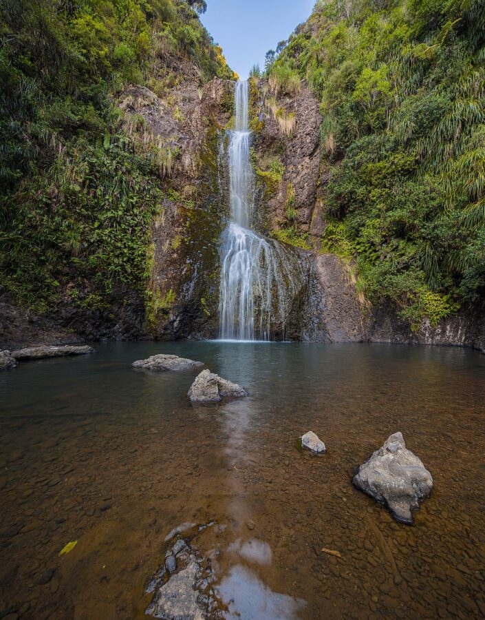
The Connect Track climbs from near the base to the pools at the top, about 15 minutes up. The Glen Esk Dam stood there, built in 1911 to flush kauri logs down to the Piha sawmill. The drop smashed the logs, so the dam held them instead, and the mill closed in 1921.
Kauri dieback, a soil-borne disease, is killing kauri across the ranges. Scrub and spray your boots at the cleaning stations and stay on the track. The name on the signs is probably a misspelling: a Te Kawerau ā Maki elder has said the original was Ketekete, the clicking sound warriors made before an ambush.
The Waitākere Ranges and the closed tracks
The 2023 storms broke the track network around Piha, and it is still mending. As of the council’s May 2026 update, the Laird Thomson Track at North Piha and the Tasman Lookout Track at South Piha remained closed along with the Lion Rock track, and the council was looking at new alignments for both coastal tracks. Status changes after every big storm, so check the regional park track map on the Auckland Council website on the morning you go.
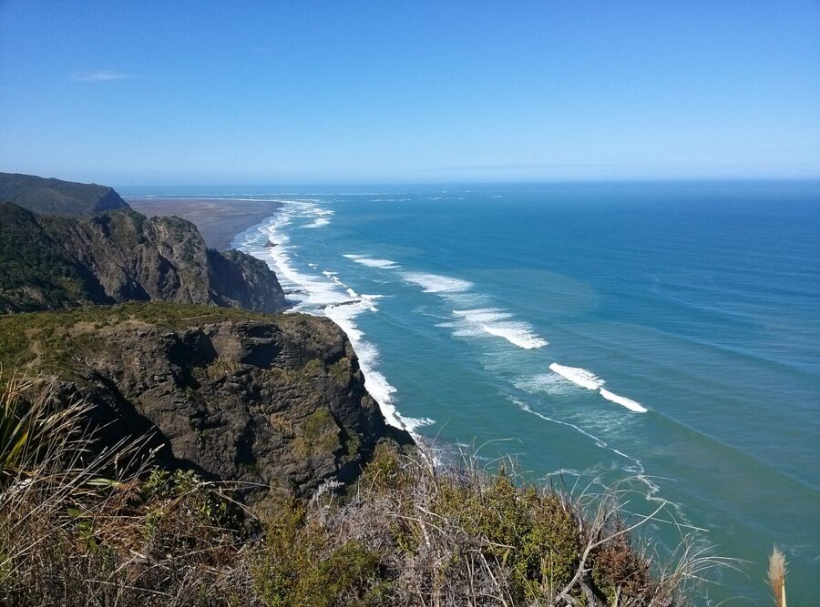
South of the beach, the Mercer Bay Loop runs along the cliff tops from the end of Log Race Road to Te Ahua Point, a former pā site high above the sea. On the north side of Mercer Bay the sea has worn a cave that climbs about 100 meters up through the cliff. Check the loop on the council’s map before you drive up.
Getting there from Auckland
Piha is a drive. Allow 45 minutes to an hour from central Auckland, longer on summer weekends. The usual route climbs through Titirangi on Scenic Drive, then turns onto Piha Road, which winds over the ridge to the lookout and down Piha Hill into the valley. The road is narrow and full of bends, so drive it in daylight the first time.
There is no regular public bus to Piha. Without a car, take a guided day tour from Auckland or a taxi or rideshare from Henderson station. If you are picking up a rental car for a longer New Zealand road trip, Piha makes a good first afternoon out of the city.
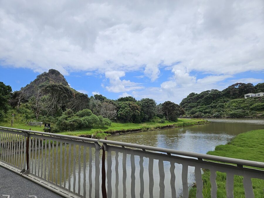
Parking is free. At the bottom of the hill, drive past the shop and cafe toward North Piha and park along Marine Parade, or use the Piha Domain car park by the lagoon when the beachfront fills. On a hot January Saturday the car parks fill early, so arrive before mid-morning or come on a weekday.
Plan the day around the light and the tide. Come over the hill in the morning to see the bay lit from behind you, walk to the Gap on the falling tide, spend the middle of the day at Kitekite Falls, and be on the sand below Lion Rock for the last hour before sunset. Then drive back up to the lookout, if the light holds, and watch the bay go blue.