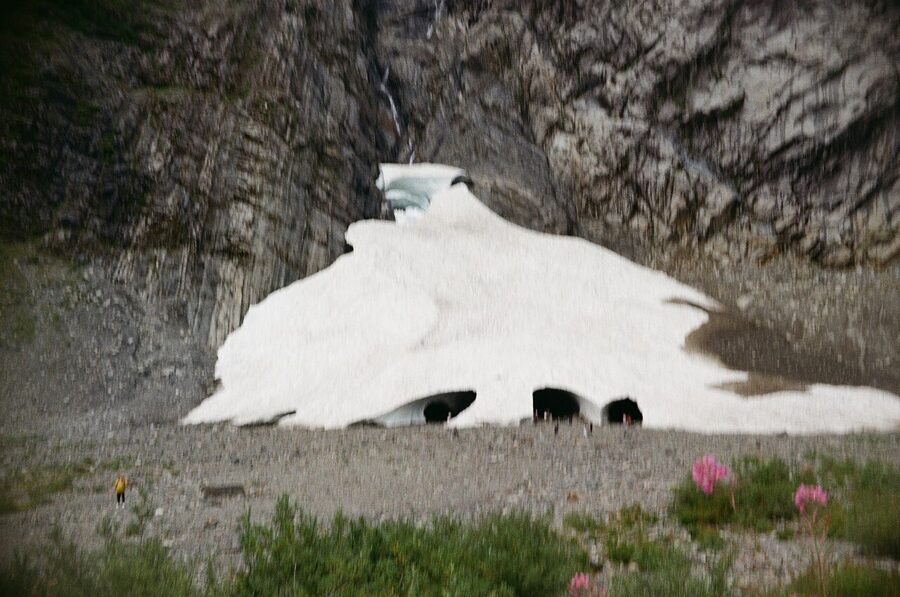
Big Four Mountain’s north face drops roughly 4,000 feet (1,220 m) in one wall, and the avalanche snow that piles up at its foot sits below 2,000 feet above sea level, remarkably low for snow that has usually lasted the whole year. Meltwater bores tunnels through that snow every summer. Those tunnels are the Big Four Ice Caves, a 2.2-mile round-trip walk from a parking lot on the Mountain Loop Highway.
It is an easy walk with a death record. People have died at the caves in 1998, 2010 and 2015. And in the autumn of 2026 the caves came closer to disappearing than anyone watching them can remember. The picture worth taking is made from the rock circle at the end of the trail, and nowhere closer.
Contents8 parts
What the caves are, and why they sit so low
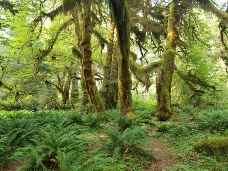
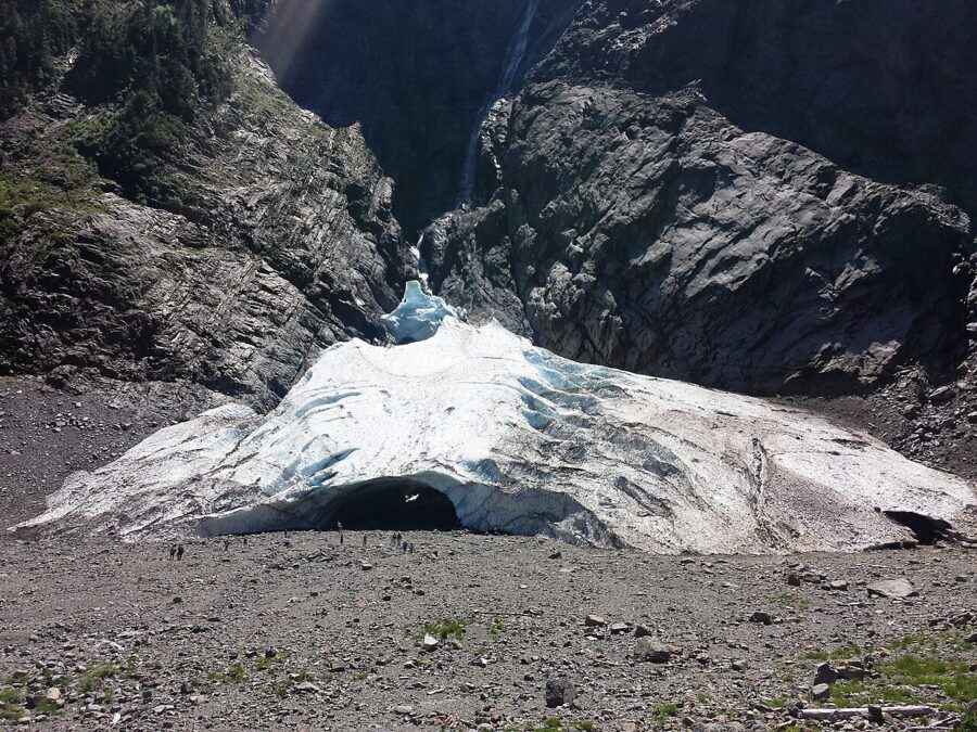
The upper reaches of Big Four Mountain face almost exactly due north. Doug Clark, a geologist at Western Washington University, describes it as a perfect zero degrees, which means the cliff and the ground below it stay in shadow for most of the year. Snow that lands on the face slides off in avalanches and collects in a gully at the base, packing down hard. Because the sun barely reaches it, the pile has usually outlasted the summer.
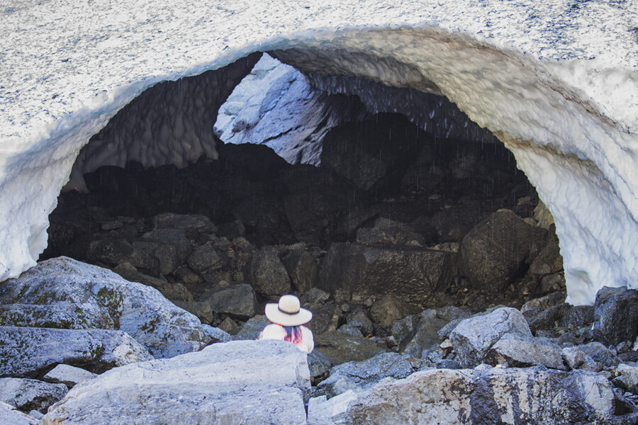
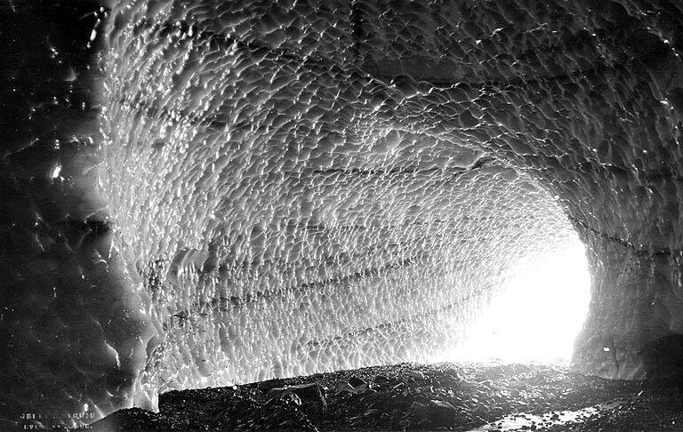
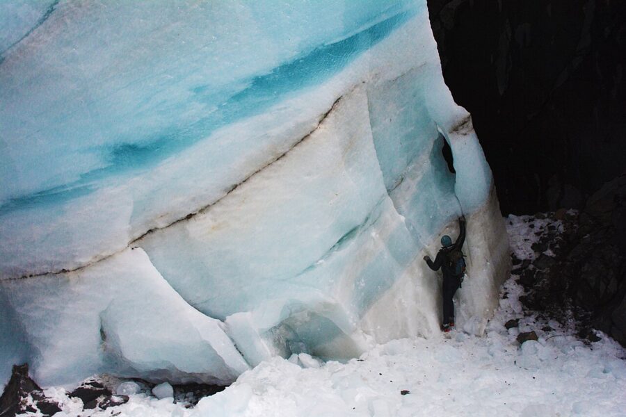
The caves are not glacier ice. They form when waterfalls off the cliff and snowmelt streams run under the avalanche debris and carve channels through it. Warm air then flows through the channels and widens them into arches and tunnels. By midsummer you get the classic look: blue-white ceilings, rounded doorways, a stream running out of each opening.
The Forest Service says the caves are usually exposed from July through October. Earlier than that, they are often still buried by the spring’s avalanches; later, new snow starts covering them again. The shape changes every year with the winter’s snowfall, so a photo from one August will not match the next.
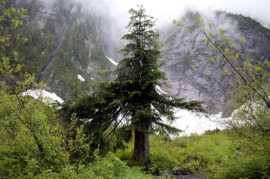
The valley gets about 140 inches of precipitation a year, and its cold, wet shade shelters plants that normally grow far to the north. Bryologist Miles Berkey has catalogued more than 100 species of mosses and liverworts at the base of the mountain, including gouty moss, which has no other confirmed site in Washington.
As for the name, local stories credit either a snow patch on the face shaped like the number four or four brothers who trapped in the valley.
2026: the autumn the ice nearly ran out
In July 2026 glaciologist Mauri Pelto, who has watched the Big Four snowfield for more than a decade, warned that this could be the first year in living memory that it melted away completely. The winter just past was the country’s second-warmest on record, Washington’s snowpack was poor, and it followed three summers of drought. In 2005 and 2015, the closest calls, the ice shrank to less than a hundredth of a square kilometer and then recovered.
By the middle of October 2026 hikers were reporting that the caves had collapsed. A mid-November visitor who compared the scene with November photos going back to 2014 said it may be the lowest the ice has ever been, a small fraction of what is usually left. The same report noticed one upside: the lower tiers of the waterfall, normally hidden under the snow, now run in the open.
The caves will keep forming as long as enough winter snow avalanches off the face, Pelto says; what changes is that a year-round feature may become a seasonal one. Before a trip in 2027, read the latest trip reports on the Washington Trails Association’s Big Four page, which usually carry photos from the viewpoint taken that week.
Why going inside kills people
The Forest Service’s page for the trailhead carries a warning in capitals, and it is worth reading word for word:
NEVER enter the caves! The caves and area below the cliffs are extremely dangerous.
The same notice adds that rock and ice fall is a hazard all year. That second part matters more in a low-snow year. With the snowfield gone, the ground under the waterfalls is still the run-out zone for everything that comes off a 4,000-foot wall.
The physics are simple. As a cave grows, its roof gets thinner, and water soaking into the snow makes it heavier. The entrances are the thinnest part of the roof, and the place where falling ice and rock land. Climbing on top is no safer: the snowfield is hollow underneath, and a snow bridge can give way under your feet.
The record is short and grim. In 1998 a 27-year-old woman from Bothell died when snow and ice fell at the mouth of a cave. In 2010 an 11-year-old girl from Marysville was killed by falling ice; a plaque in her memory stands at the viewpoint at the end of the trail. On July 6, 2015, part of a cave collapsed on a hot evening, killing a 34-year-old woman and injuring several others, including her 25-year-old brother, who died of his injuries that October.
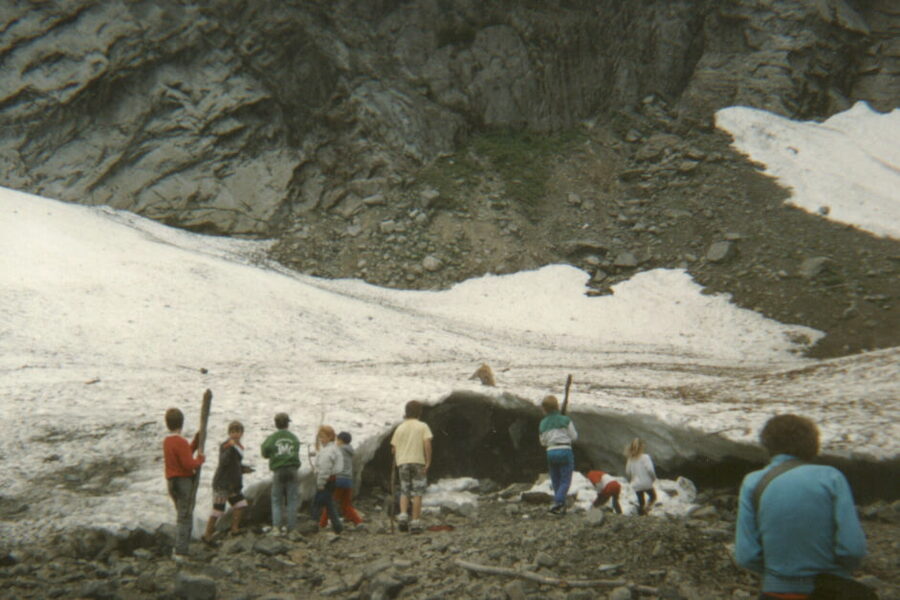
The trail closed after the 2015 collapse and reopened at the end of April 2016 with new warning signs along the route. You will still see people walking up to the openings. Do not follow them.
The county plans for the next accident. On May 28, 2026, the Snohomish County Sheriff’s Office ran its annual mass-casualty drill here, with more than 100 rescuers practicing a major avalanche, and the trail closed for about eight hours. Its organizer called the valley a communications black hole: normal radios fail this far east, so help is slow even for professionals.
Winter adds avalanche danger to all of this. The Washington Trails Association warns snowshoers to keep to the main route and stay off the snowfields at the end of it, because avalanches keep coming off the mountain all winter.
The walk in
Big Four Ice Caves Trail 723 is 2.2 miles (3.5 km) round trip with about 220 feet (67 m) of climbing, topping out at 1,938 feet (591 m) at the viewpoint. Most people walk it in about an hour, plus whatever time they spend at the end. Dogs are allowed on a leash.
Two parking areas serve it, linked by a paved 0.2-mile path: the Ice Caves Trailhead and the Big Four Picnic Area. The Forest Service asks hikers to use the trailhead lot and leave the picnic area for picnickers. Both have accessible vault toilets; neither has drinking water.
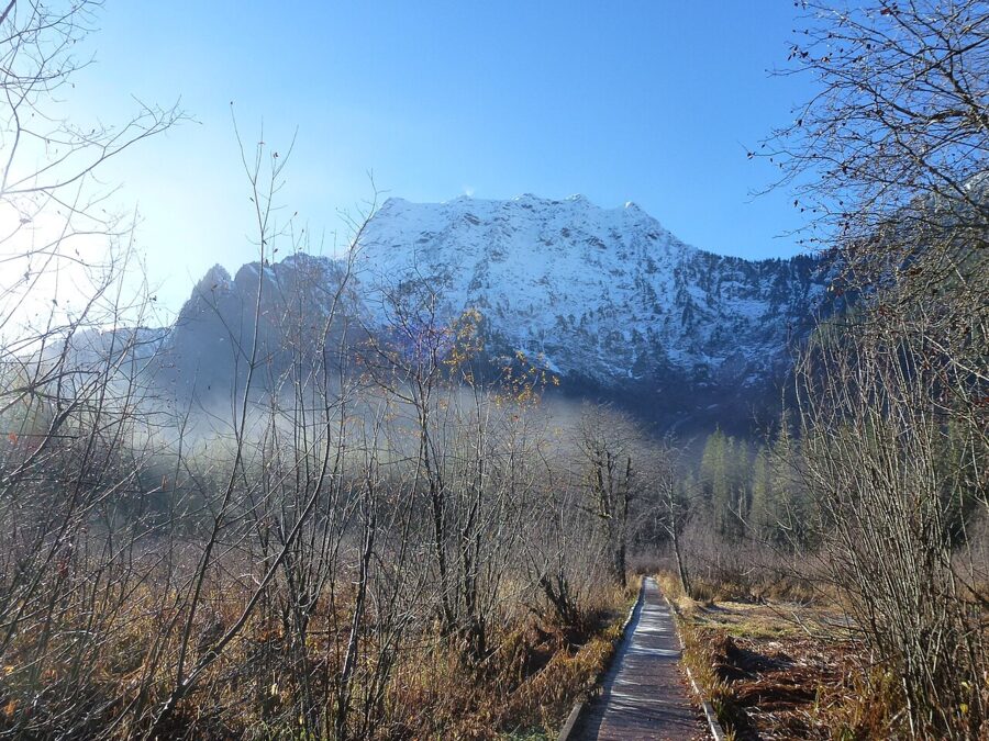
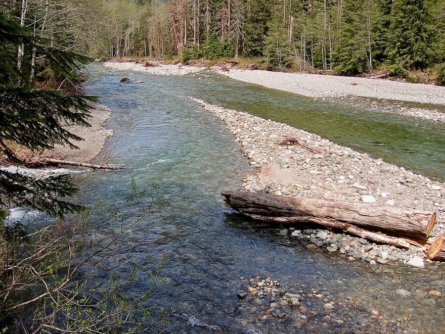
From the trailhead lot, the path runs paved through the forest to a junction. Turn right and a boardwalk crosses the marsh to the picnic meadow; keep straight for the caves. A few minutes on, you cross the South Fork Stillaguamish River on a long aluminum truss bridge, then Ice Creek, then climb gently through old forest on gravel and boardwalk. Look for the swath of snapped trunks beside the trail, broken by wind and by avalanche blasts coming out of the gully.
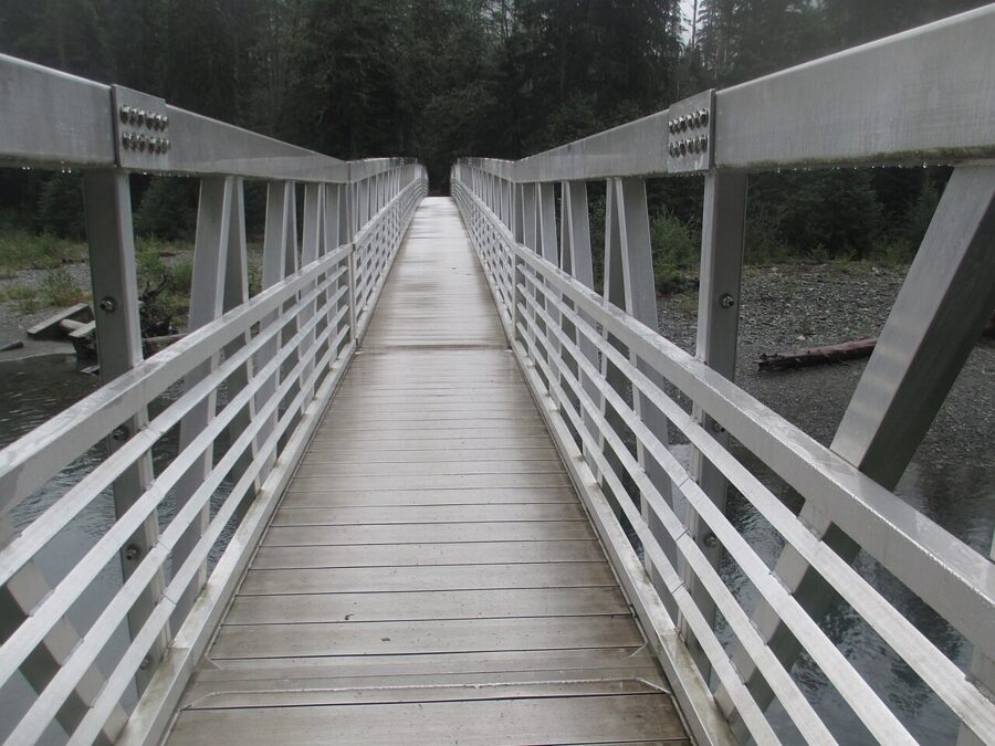
The 2022 rebuild was funded with $241,000 from the Great American Outdoors Act, and the replacement span was doubled in length to set the bridge back from the eroding bank. In June 2023 the Forest Service added raised boardwalk approaches so wheelchairs can roll on. Roughly the first mile, the loop of paths between the two parking areas plus the bridge, works for most wheelchair users. Beyond the river the surface turns rough, with about 21 lips onto boardwalks and bridges (some up to 12 inches) and a squeeze between boulders near the end.
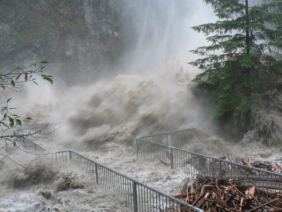
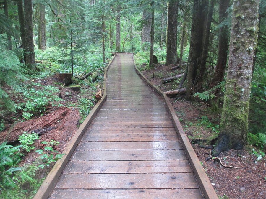
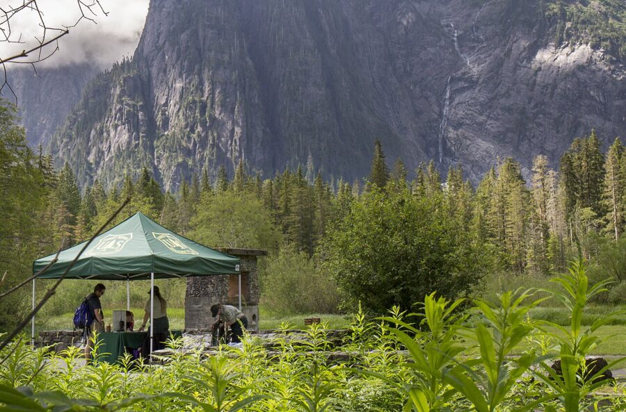
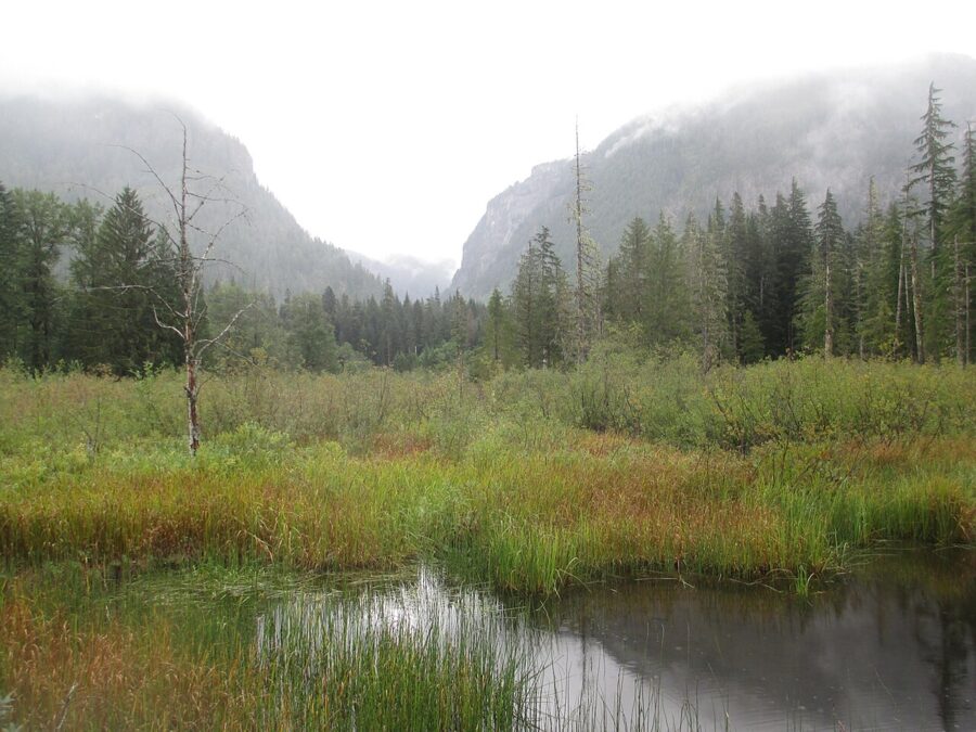
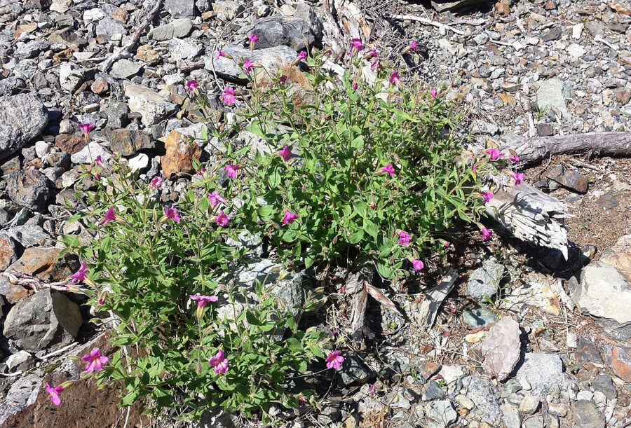
The forest opens into a meadow below the mountain, with waterfalls sheeting off the cliff. In late spring the trailside flowers run from trillium to valerian and queen’s cup, then fireweed later in the summer. The trail ends in a ring of boulders facing the snowfield, with the memorial plaque among them. That ring is the viewpoint, and it is as far as anyone should go.
The Big Four Inn site
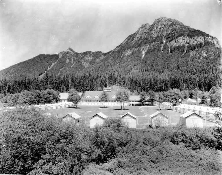
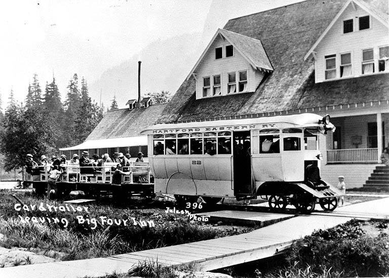
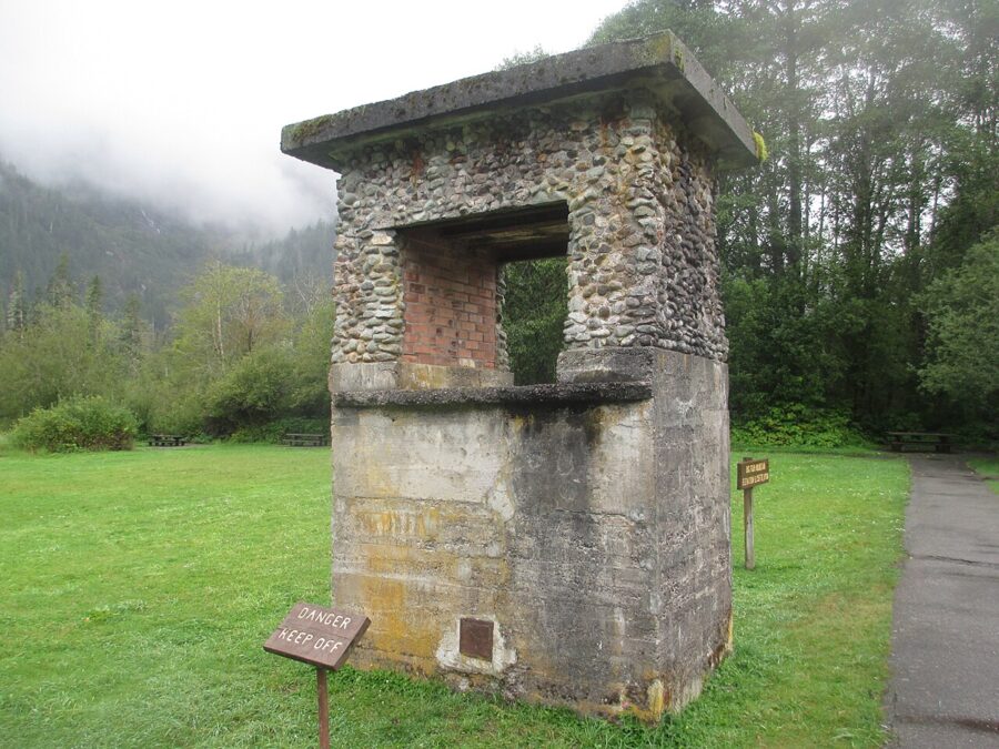
On the way back, take the boardwalk to the picnic meadow. Wyatt and Bethel Rucker built the Big Four Inn here in 1921, a resort hotel with cabins, a golf course and its own stop on the rail line up the valley. It burned to the ground in 1949, and the stone chimney is what is left. The meadow now holds about a dozen picnic tables, some under a shelter, and grills.
Photographing the caves from the viewpoint
From the rock circle you look south, straight into a north-facing wall. That decides almost everything about the light. For most of the year the snowfield and lower cliff sit in shade all day, which is good news: the ice reads blue rather than blown-out white. On a bright day, expose for the ice and let the sky go, or crop it out.
Around the June solstice the sun rises and sets far enough north that the upper face can catch grazing light early in the morning and late in the evening. Check a sun calculator for your date before planning a dawn start. Overcast days are the easy option: even light, saturated greens and no hard shadow line across the snow.
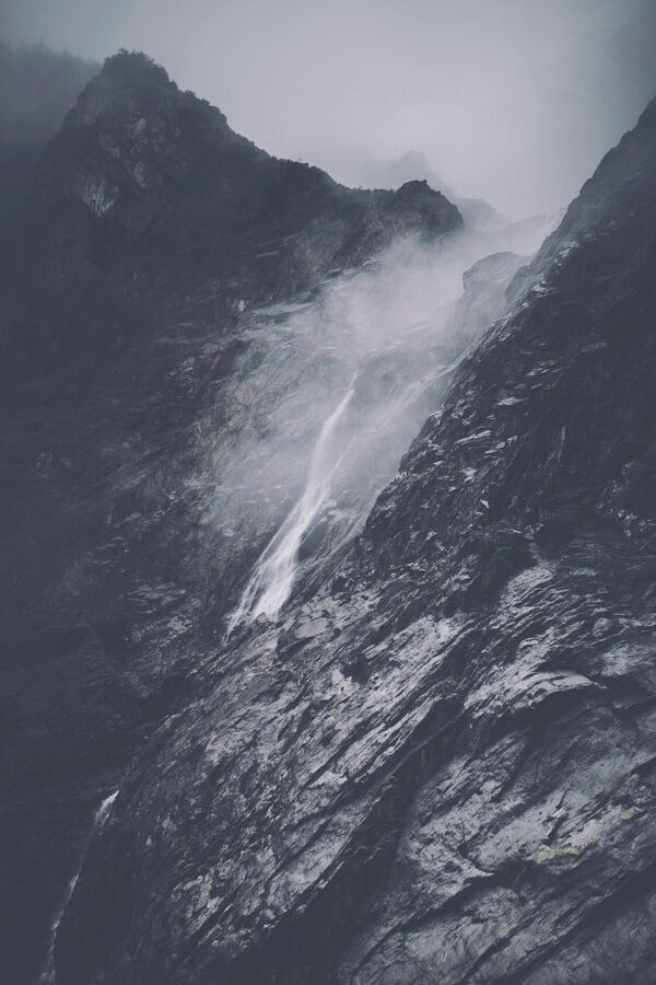
Lenses. A telephoto in the 70-200mm range is the lens for the caves themselves: it pulls a single arch, the blue banding and the stream at its mouth into the frame from the rock circle. A wide lens works better back in the meadow, where you can get the whole mountain, the snowfield and the waterfalls in one picture. On a phone, use the 2x or 3x camera instead of walking closer.
Tripod and filter. The waterfalls need a slow shutter, somewhere around half a second to a second, so carry a tripod and set it up on the rocks rather than on the boardwalk where people pass. A polariser cuts the glare on wet rock and on the snow surface, and deepens the blue in the ice.
Scale. The snowfield is bigger than it looks, and people on the trail below the viewpoint give you scale without anyone standing on the snow. Drone rules come from the Forest Service; ask the Darrington Ranger District before you fly.
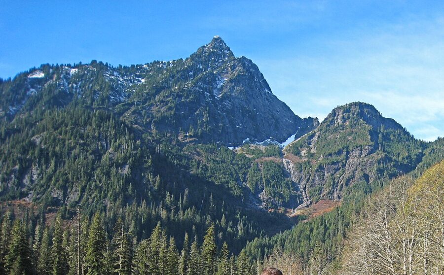
Seasons. Late July through October is cave season in a normal year. June brings the strongest waterfalls and the wildflowers, but the caves may still be buried. October adds color along the highway, and November puts snow on the upper mountain over an empty valley.
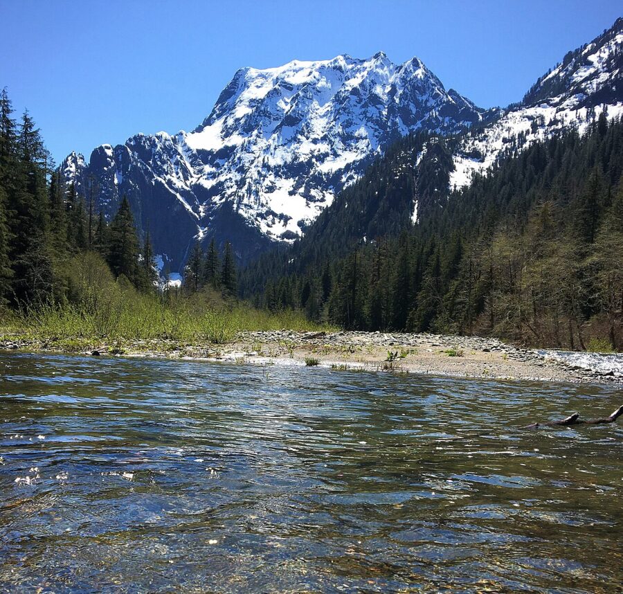
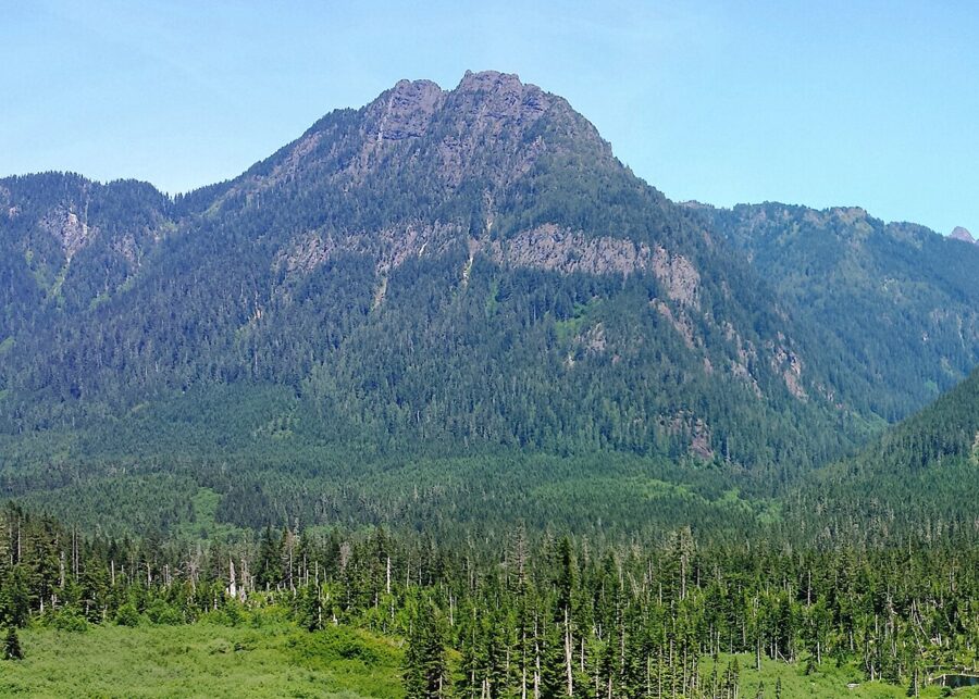
Getting there on the Mountain Loop Highway
The caves are about 20 miles east of Granite Falls and roughly 90 miles (145 km) northeast of downtown Seattle. From I-5 in Everett, follow signs to Lake Stevens and Granite Falls, then turn east onto the Mountain Loop Highway. Save the directions before you leave: there is no reliable phone signal at the trailhead.
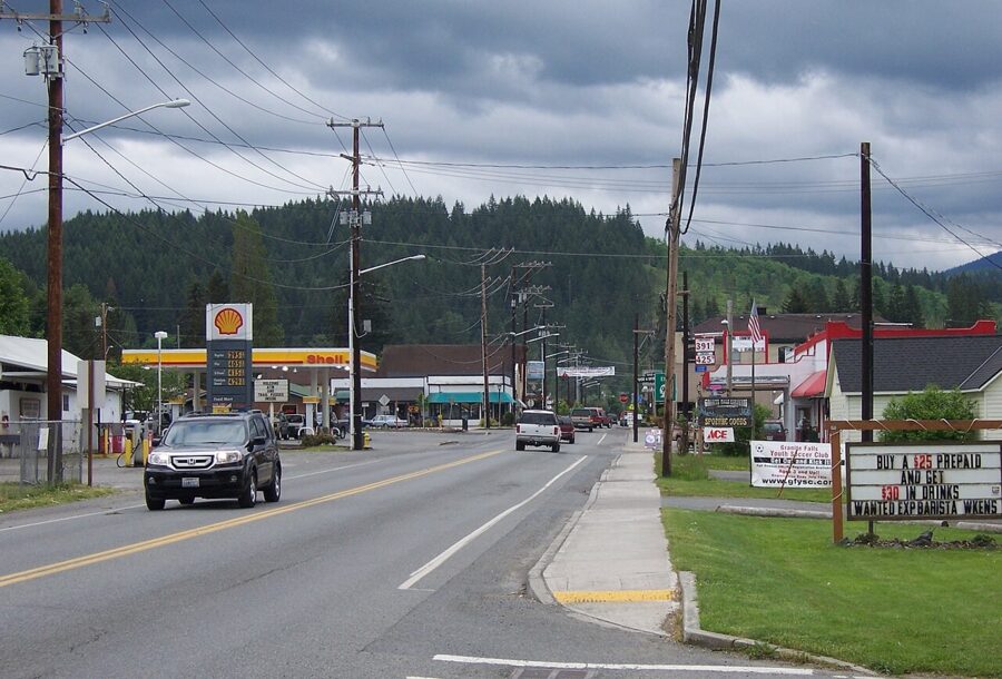
The Verlot Public Service Center sits on the highway a little over ten miles out of town, and the Ice Caves Trailhead is 14.5 miles beyond it, with two signed turns on the right a quarter-mile apart for the picnic area and the trailhead. As of November 2026 the Verlot center is open Friday and Saturday, 8 a.m. to noon and 12:30 to 4 p.m., through December 12, then closes for the season.
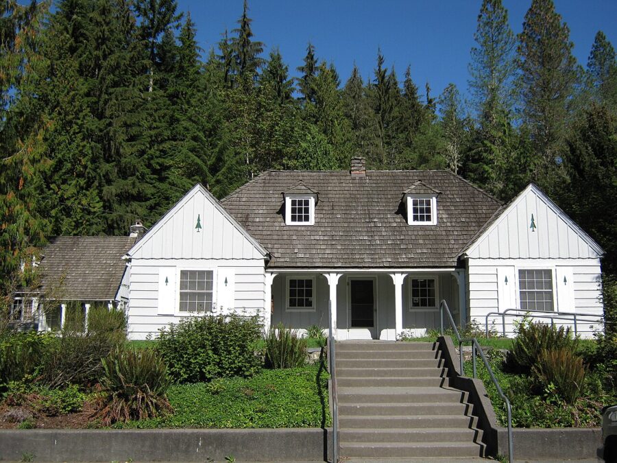
The highway is paved for about 34 miles from Granite Falls to Barlow Pass, then turns to gravel for about 13 miles as it drops north toward Darrington. The gravel stretch between Barlow Pass and Bedal Campground closed for the winter on November 16, 2026; in spring 2026 the full loop reopened in mid-May.
The paved road to Big Four stays open until snow arrives. Then the highway is gated at Deer Creek, and Big Four becomes a snowshoe or ski trip along the unplowed road from the Deer Creek Snow Play Area, with no federal pass needed. Park on the north side of the highway and keep clear of the snowplow turnaround, where cars get ticketed or towed. Snow is unreliable this low, so check the Washington Trails Association’s Big Four snowshoe page for current conditions.
Parking, passes and crowds
Big Four is a Forest Service fee site. As of November 2026 the rules are these:
| Item | Detail |
|---|---|
| Day use | $5 per vehicle per day |
| Annual option | $30 Northwest Forest Pass |
| Passes accepted | Northwest Forest Pass, Interagency (America the Beautiful) passes, digital passes |
| Not accepted | Washington State Discover Pass |
| How to pay on site | Scan and pay through the Recreation.gov app, or display a valid pass |
| Winter route from Deer Creek | No federal pass required |
Download the Recreation.gov app at home; you cannot count on a signal at the trailhead.
More than 60,000 people a year cross the trail bridge, according to the Forest Service, and it shows on summer weekends. The lots can fill by mid-morning. A weekday, or an arrival before 9 a.m., makes for a calmer walk and a viewpoint you can actually set a tripod up on. Autumn is the opposite: in 2026 hikers found the lot mostly empty on a Saturday afternoon in September and plenty of space in mid-November.
Other stops on the Mountain Loop Highway
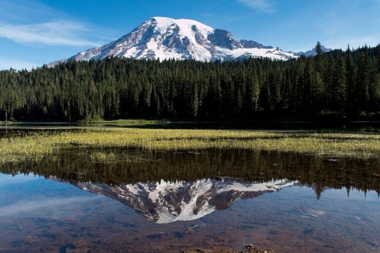
The road to Barlow Pass is lined with trailheads, and Big Four is the easiest of them. The pass you bought for Big Four, a Northwest Forest Pass or Interagency pass, also covers Heather Lake, Lake 22, Mount Pilchuck and Mount Dickerman.
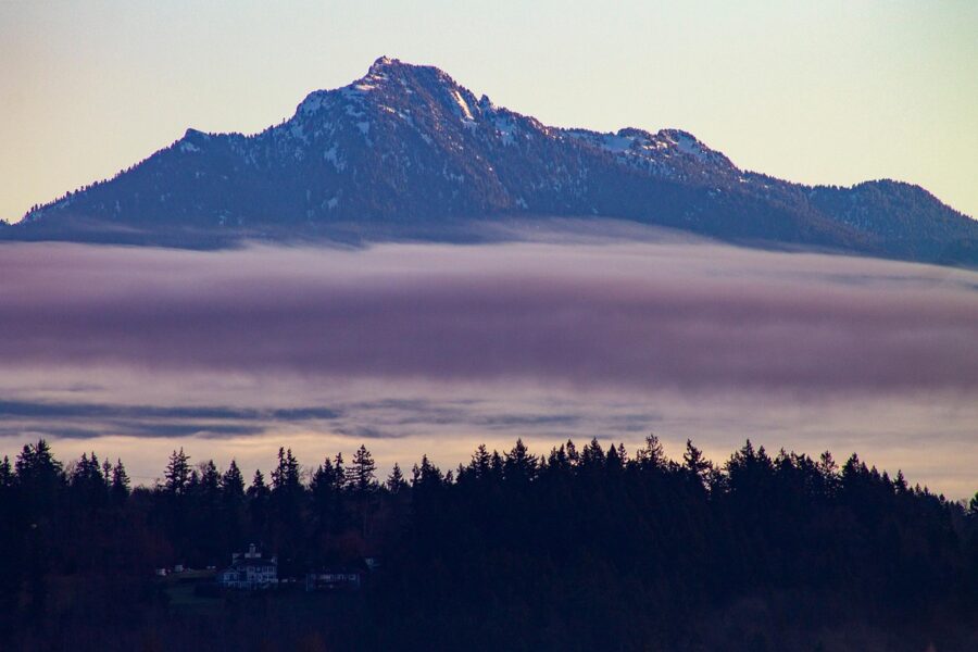
Heather Lake is a 5.0-mile round trip with about 1,034 feet of gain to a cirque lake under the cliffs of Mount Pilchuck. The trail is rough underfoot but short, and the lake reflects the cliffs well on still mornings.
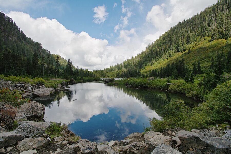
Lake 22, Trail 702, climbs 1,350 feet in 5.4 miles round trip through old-growth forest and past waterfalls to a lake on the north shoulder of Mount Pilchuck. In winter it is a popular snowshoe, with avalanche slopes above the lake.
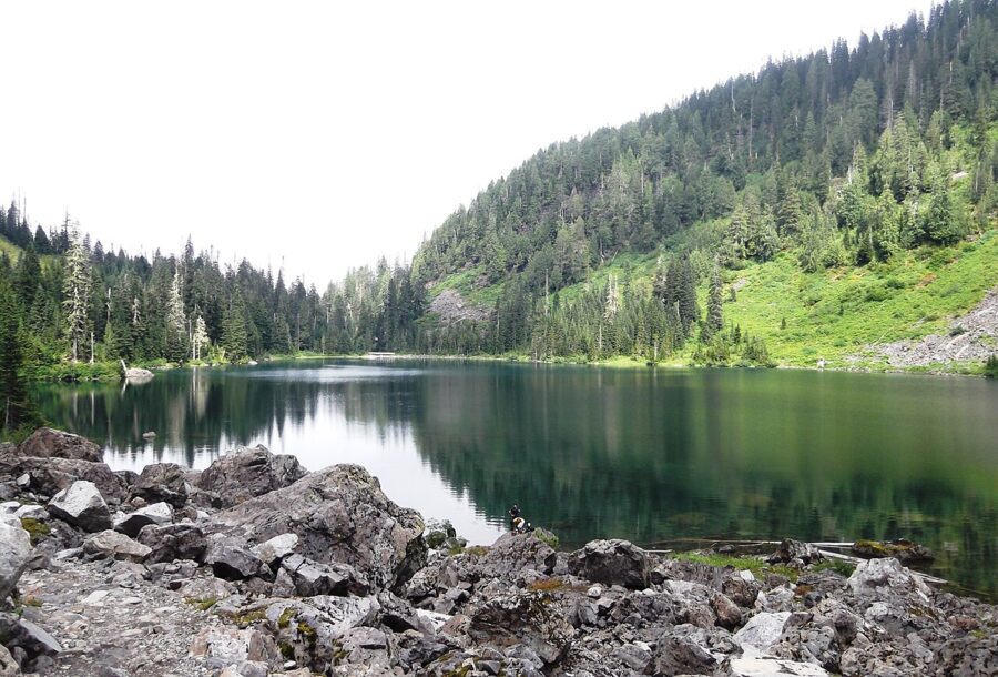
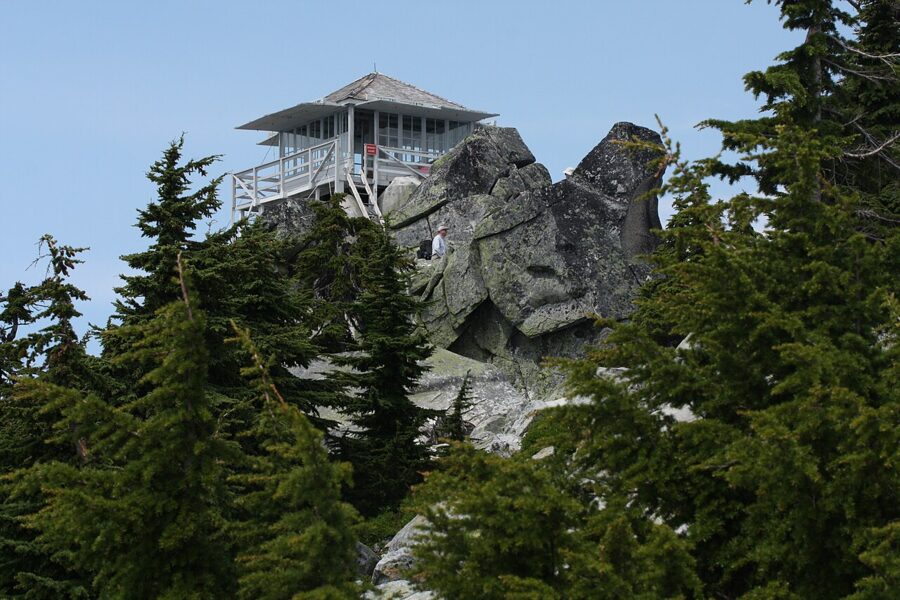
Mount Pilchuck is the big view of the lot: 5.4 miles round trip and 2,300 feet of climbing to a restored fire lookout at 5,327 feet, with Mount Baker, Mount Rainier and the Olympics on a clear day. The access road off the highway has its own winter closures, so check before you go.
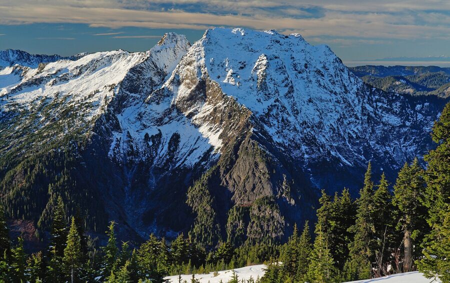
Mount Dickerman is the hard one: 8.2 miles round trip and 3,950 feet of gain from a trailhead a short drive east of Big Four. From the top you look across at Big Four Mountain and most of the peaks along the loop, with mountain blueberries on the way up in late summer.
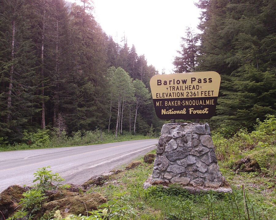
Barlow Pass and Monte Cristo. At Barlow Pass the pavement ends and an old county road, closed to cars, runs about four miles to the site of Monte Cristo, a mining town of the 1890s. It makes a long walk to a meadow with surviving cabins and the South Fork Sauk River. The pass itself is a good place to turn around if you are not driving the gravel to Darrington.
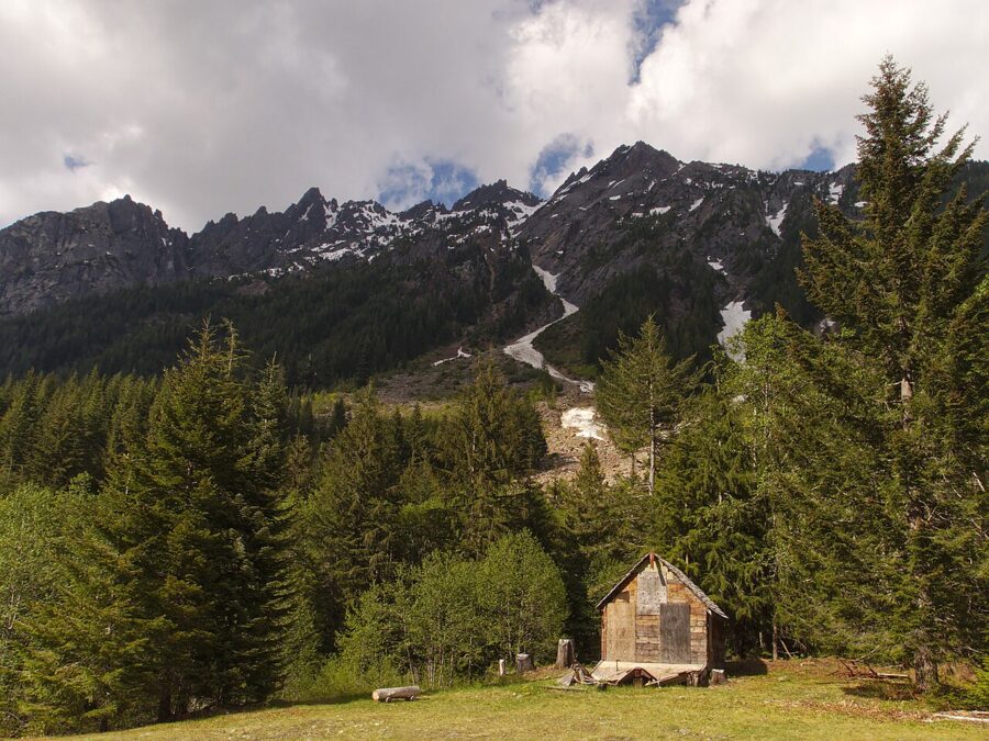
For Big Four itself, the plan is short. Arrive before nine, walk straight to the rock circle while it is empty, and shoot the snowfield with the long lens from there. Then come back by the marsh boardwalk and the old chimney, where the mountain fills the sky behind the meadow and nobody needs to go any closer.