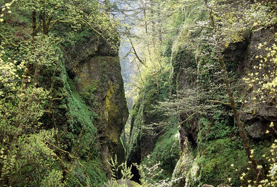
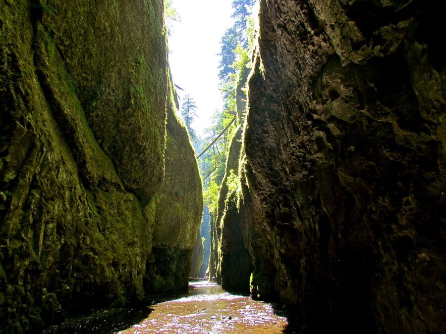
Oneonta Gorge is a narrow crack in the basalt about 0.3 mile long, with a 100-foot waterfall at the far end. For a century you walked in from the old highway, climbed a log jam and waded up the creek to the falls, sometimes chest-deep. Since the Eagle Creek Fire in September 2017, nobody has been allowed past the gate.
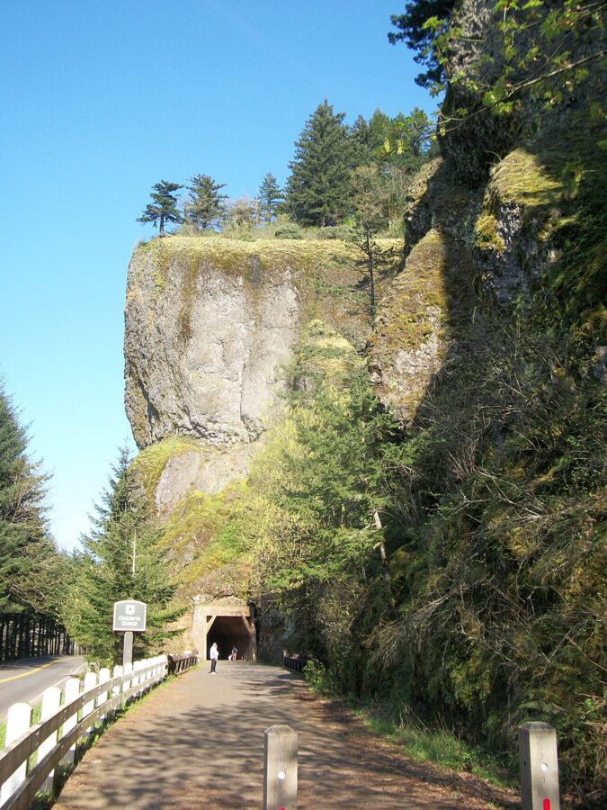
As of November 2026 it is still closed, under a Forest Service order that runs to July 17, 2027. What has not closed is everything around it. You can still look into the mouth of the gorge from the 1914 highway bridge beside the Oneonta Tunnel, cross Oneonta Creek on a footbridge above it, walk behind Ponytail Falls and climb to Triple Falls on the upper creek. The gorge is a short drive east of Multnomah Falls on the Historic Columbia River Highway, close enough to pair the two in one morning.
Contents9 parts
A slot cut into the basalt
The cliffs are lava: flows of the Columbia River Basalt Group, laid down one sheet at a time between about 17 and 6 million years ago across northern Oregon, eastern Washington and western Idaho. At the end of the last ice age the Missoula Floods scoured the Gorge walls into near-vertical cliffs and left the side creeks hanging above the river. Oneonta Creek has been sawing back into the cliff ever since, and just above the highway it cut a narrow slot.
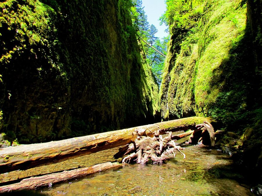
The narrow walls hold cold, damp air, and that is why the Forest Service set the gorge aside as a botanical area. Ferns, mosses, liverworts and lichens cover almost every surface, and several of them grow only in the Columbia River Gorge.
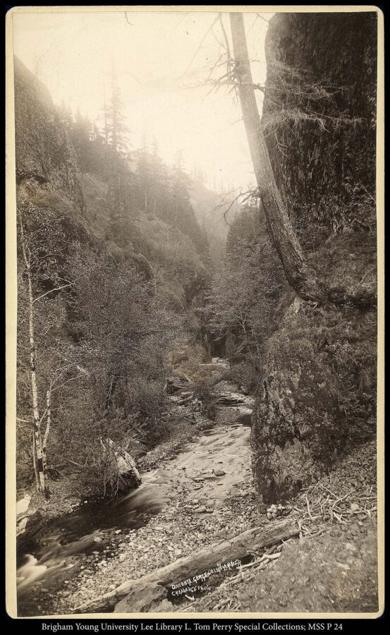
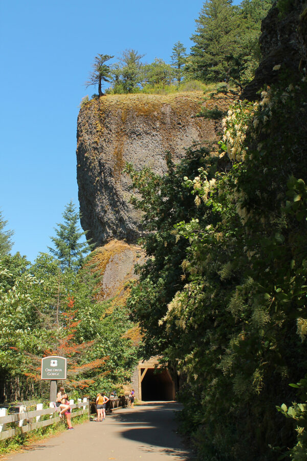
The name comes from Oneonta, New York, the hometown of Carleton Watkins, the photographer credited with naming it after he worked along the Columbia in the 1860s. When the Columbia River Highway went through in 1914, it crossed the creek on a short concrete bridge and then ran through a 125-foot tunnel bored into the basalt outcrop just east of the mouth.
What the wade was like
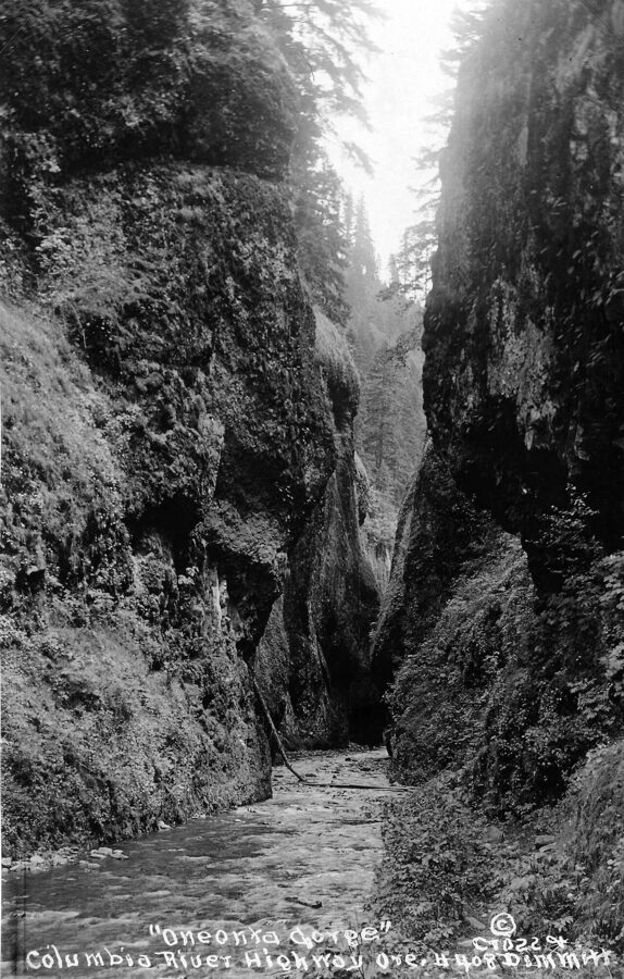
The route started down a set of stairs on the canyon’s west wall, built with the highway, and went upstream on cobbles and gravel. When the highway was new, no logs blocked the creek, and at low water the walk to the falls was a shallow paddle.
In the 1990s that changed. Big boulders fell into the stream, and logs washed down and wedged across the canyon in a jam that grew every winter. Above it the water backed up into pools that were chest-deep or needed a short swim. Water shoes were the standard advice, and on hot summer weekends the jam became a queue.
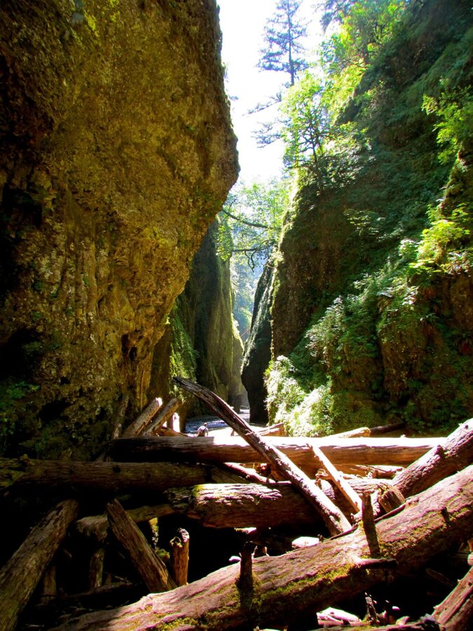
Past the pools the walls closed in and Lower Oneonta Falls came into view at the end of the slot, a 100-foot plunge into a round pool. The whole trip from the stairs was about 0.3 mile each way.
The fire, the jams and the closure
On September 2, 2017, a teenager threw fireworks into Eagle Creek canyon during a burn ban. The Eagle Creek Fire burned close to 50,000 acres of the Oregon side of the Gorge before it was contained at the end of November. It ran through Oneonta Creek’s watershed, burned the timber lining out of the Oneonta Tunnel and destroyed a trailside sign, while the metal footbridge upstream survived.
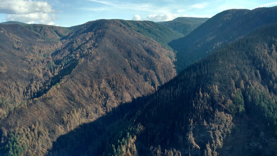
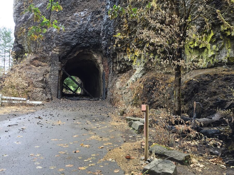
The tunnel and the trails came back. The gorge did not. In February 2024 a Forest Service spokesman laid out the reasons in detail: dead trees blowing down and starting rockslides, groundwater changes after the fire loosening the basalt walls, and three log jams across the creek, some 10 to 25 feet high and 30 feet long, most of them sitting above deep pools. Around 40,000 fire-killed trees stand in the watershed, so new jams will keep forming for years.
The logs are staying put, because the creek is critical habitat for salmon and steelhead. The Forest Service also warned that a jam could fail all at once and send water and debris down a slot with few ways out. I think the closure is the right call.
The current closure order
| What | Detail (as of November 2026) |
|---|---|
| Closed area | Everything within the walls of Oneonta Gorge between the Historic Columbia River Highway (US 30) and the Horsetail Falls Trail bridge over Oneonta Creek |
| Order | Forest Order 06-22-01-26-04, Eagle Creek Fire Area Closure |
| In effect | July 17, 2026 to July 17, 2027, unless lifted sooner |
| Penalty | Up to $5,000 for an individual or $10,000 for an organization, up to six months in prison, or both |
| Still open | Oneonta Trail #424, Horsetail Falls Trail #438, Gorge Trail #400 and the tunnel |
In 2024 the Forest Service was weighing four ways to handle the gorge if it reopens: open access as before the fire, permanent closure, seasonal access outside the salmon and steelhead spawning periods, or access with limits that tighten when use passes set trigger points. It expected a decision around 2026 or 2027. No reopening had been announced as of November 2026; the Columbia River Gorge National Scenic Area alerts page is where one would appear.
Looking in from the road and the bridge
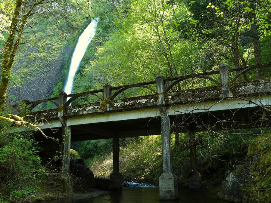
The legal view of Oneonta Gorge starts on the old highway. The original 1914 bridge, a four-span concrete trestle 80 feet long, still crosses the creek at the mouth beside the tunnel, and from it you look straight up the slot. The stairs down to the creek are behind a gate. Stay on the bridge.
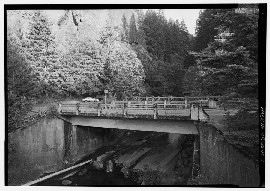
The gorge runs roughly north to south and opens toward the highway, so the walls keep the creek in shade for most of the day. From the bridge that suits an overcast morning, when the green walls glow and the strip of sky is not burning out. On a bright afternoon, shoot the walls and creek tighter and leave out the sky.
The tunnel itself was bypassed in 1948, filled with rubble, dug out in 2009, burned out in 2017 and relined again. Only walkers and cyclists use it now; cars take the newer road around the bluff.
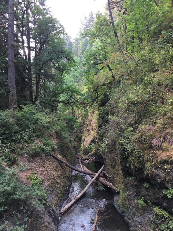
The loop below gives you two more looks. From the switchbacks on the descent toward Oneonta Creek you can see down into the upper end of the gorge. And from the footbridge below Middle Oneonta Falls you look downstream into the closed section toward Lower Oneonta Falls.
Horsetail, Ponytail and the Oneonta loop
The best hike here is the short loop that circles the gorge from above. It is about 2.5 miles with roughly 600 feet of climbing.
| Hike | Start | Distance and climb |
|---|---|---|
| Horsetail Falls from the road | Horsetail Falls lot | A few steps |
| Ponytail Falls out and back | Horsetail Falls lot | About 0.8 mile round trip, steep switchbacks |
| Horsetail and Oneonta loop | Horsetail Falls lot | 2.5 to 2.6 miles, 565 to 660 feet |
| Loop plus Triple Falls | Horsetail Falls lot | Adds about 1.8 miles and 300 feet |
| Triple Falls out and back | Oneonta Trailhead | About 3.6 miles, 680 feet |
Horsetail Falls from the road
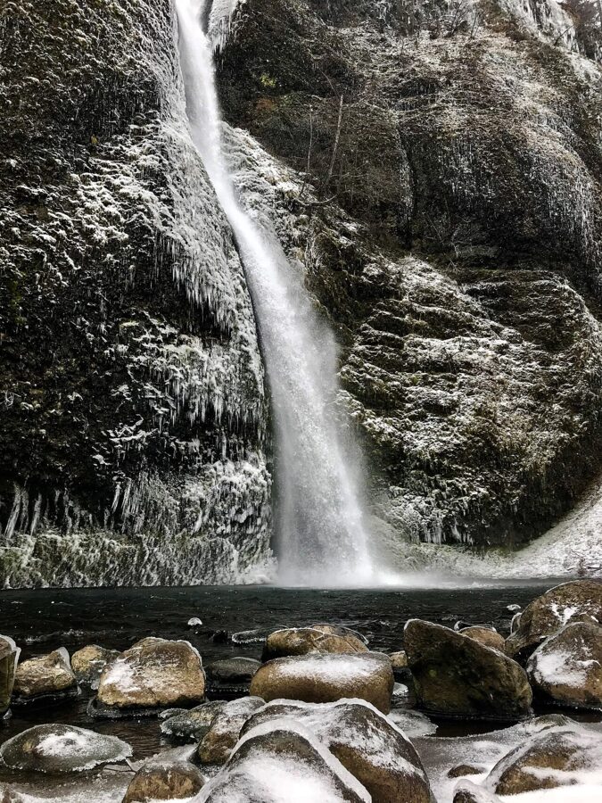
Horsetail Falls drops 176 feet in a single ribbon right beside the highway, with its pool a few steps from the parking area. It falls from the south wall and faces north, so it sits in open shade for most of the day, much like Multnomah. On a cloudy morning a tripod and a half-second exposure give you the smooth tail with no hiking at all.
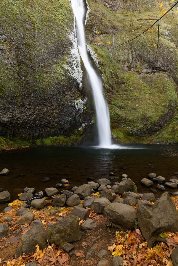
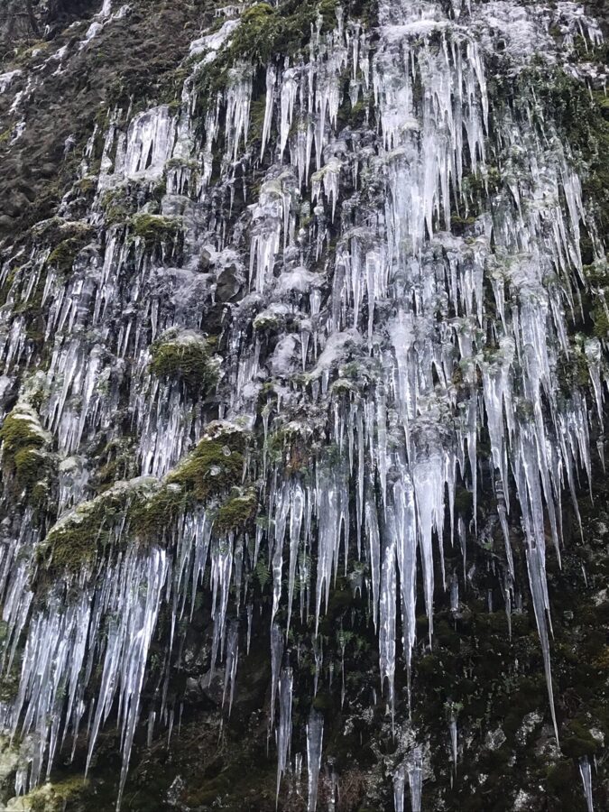
Come in winter for the ice. A long freeze glazes the rocks around the pool, and the Forest Service warns that the same cold makes the trails above hazardous.
Up to Ponytail Falls
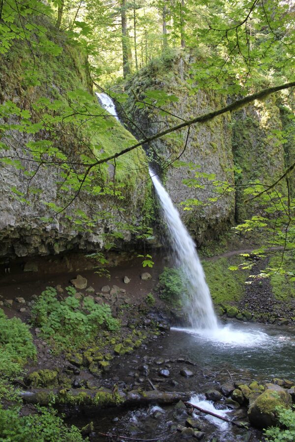
Horsetail Falls Trail #438 starts just east of the falls and climbs a short set of steep switchbacks. In about 0.4 mile it reaches Ponytail Falls, also called Upper Horsetail Falls, an 88-foot drop that shoots out from under a basalt overhang. The trail runs through the cavern behind the water, which is the one place on this loop where you can stand dry and look out through a waterfall.
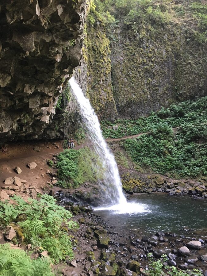
For the picture, frame from the trail on either side of the bowl rather than from directly behind the falls, where the light behind the water flattens everything. Bring a cloth: at high water the spray drifts through the cavern.
Along the bluff to Oneonta Creek
Past Ponytail the trail heads west along the top of Oneonta Bluff. Short side paths go out to clifftop viewpoints over the river, with Beacon Rock and Hamilton Mountain on the Washington side to the east. These viewpoints are unfenced, and a memorial plaque on one of them marks a teenager’s fatal fall. Keep children close and stay back from the edge.
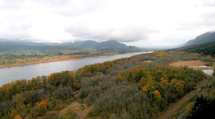
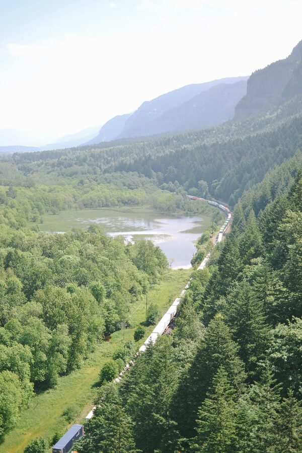
The trail then turns into Oneonta Canyon, passes a weeping wall and switchbacks down to the creek. A metal footbridge, one of the few structures here the fire left untouched, crosses just below Middle Oneonta Falls. It is small, but its pool and green walls are the closest you get to the old gorge.
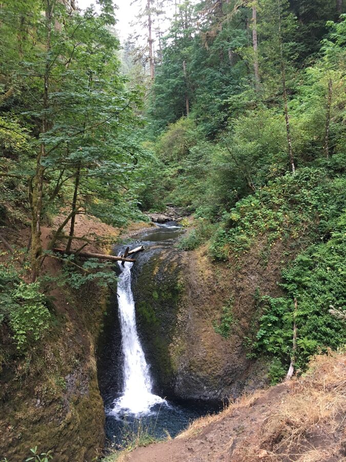
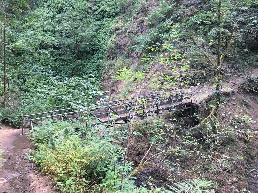
Down the Oneonta Trail and back on the road
Past the bridge the trail climbs to a junction with Oneonta Trail #424. Turn left for Triple Falls, or right to finish the loop. Heading right, it drops past Gorge Trail #400, which runs about 2 miles west to Multnomah Falls.
At the highway turn right and walk about half a mile east, past the gorge mouth and through the tunnel, back to the Horsetail Falls lot. The road is narrow, so walk single file.
Triple Falls on the Oneonta Trail
Triple Falls is the payoff on the upper creek. Oneonta Creek splits into three plumes over a basalt ledge about 64 feet high. The Forest Service puts it 1.7 miles up the Oneonta Trail from the Oneonta Trailhead, about 3.6 miles round trip with 680 feet of gain. From the loop above, the side trip adds about 1.8 miles and 300 feet.
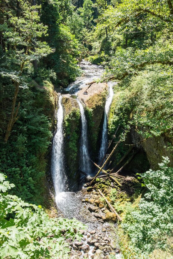
The trail climbs above Oneonta Creek and passes high over Upper Oneonta Falls, a 65-foot drop. The scramble path that once led down to it has disappeared since the fire, so treat it as a view, not a destination. A short side trail then leads to a clifftop viewpoint of Triple Falls, and a hiker bridge installed in 2021 crosses the creek just above the falls.
The fire left this stretch open to the sky. There is little canopy until past Triple Falls, and the trail runs through standing burned snags, so summer afternoons are hot and the light on the falls is harsh. Come early or on an overcast day. In winter and spring the plumes swell and nearly close the gaps between them, which is a different picture and in my view the better one.
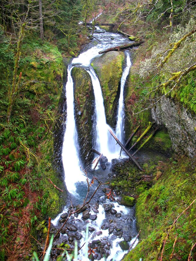
Beyond Triple Falls the trail climbs on toward Larch Mountain, and the Forest Service reports that a bridge about 2.75 miles up was badly damaged by storms in December 2025. Above its junction with the Horsetail Falls Trail, the Oneonta Trail is in the Mark O. Hatfield Wilderness. From Memorial Day weekend to October 31 you need a wilderness permit, free and self-issued at the box on the trail.
Getting there and parking
Oneonta Gorge is about 33 miles east of downtown Portland. From I-84, take Exit 35 (Ainsworth) and drive about a mile west on the Historic Columbia River Highway to the Horsetail Falls lot, on the right. From the west you can also leave I-84 at Exit 28 (Bridal Veil) and drive about 5.6 miles east on the old highway past Multnomah Falls.
- Horsetail Falls lot: the main parking for the loop, with no day-use fee.
- Oneonta Trailhead: a small lot on the north side of the highway just west of the gorge, with room for about eight cars and no fee.
- No restrooms or water at either trailhead.
- No shoulder parking on the old highway. Illegally parked cars get ticketed or towed.
No timed-use permit was required on the Historic Columbia River Highway in 2026. The summer permit that did run, May 22 to September 7, covered only the Multnomah Falls lot at I-84 Exit 31. Dates for 2027 had not been announced as of November 2026, so check the Oregon Department of Transportation’s Waterfall Corridor page in spring. From Exit 28 you cross both Multnomah Falls viaducts (the eastern one reopened on May 15, 2026), which take only vehicles under 35 feet long.
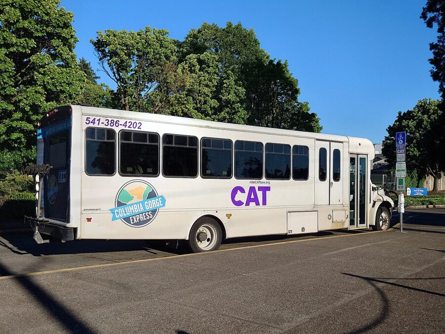
Without a car, take the Columbia Gorge Express bus from Gateway Transit Center in Portland to Multnomah Falls and walk Gorge Trail #400 about 2 miles east to the Oneonta Trail. Check the Columbia Area Transit timetable for the last bus back.
Safety and the rules
- Stay out of the gorge. The gate at the stairs is the boundary, and the fine is real.
- Cliffs on the bluff. In 2024 two hikers died in falls from the cliffs near the Horsetail Falls trailhead, one in March and one in May.
- Ice. In winter the switchbacks can ice over. Carry traction devices or turn around.
- Poison oak grows along the lower trail.
- Dogs on a leash.
- No drones. The Forest Service prohibits drone takeoffs and landings on the Horsetail Falls Trail.
- No bikes or motor vehicles on the trails, and no fires within 200 feet of the Gorge Trail.
- Clean your boots before and after. Hikers and dogs carry invasive seeds into the Gorge.
Cell coverage is patchy in the canyons, so tell someone your route and carry a map. The hiker in the March 2024 case had left her phone behind, and the search took most of a day.
When to come for pictures
Water decides it. Oneonta and Horsetail creeks run highest from late fall through spring, when Triple Falls runs full and Ponytail fills its bowl. By late summer every fall here thins out and the lots fill early on weekends.
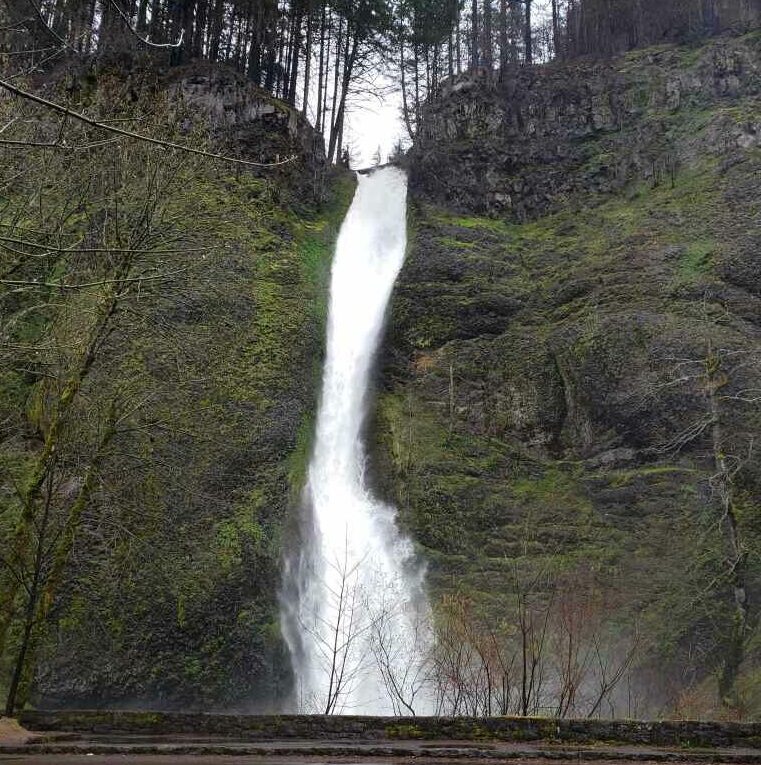
My pick is a weekday in late October or early November, after the first big rains. The leaves around Horsetail Falls are turning, the creeks are back up, and the bluff is quiet. Winter is second, for the ice at Horsetail.
For light, think shade. Every waterfall here faces into a canyon or a north wall, so none of them catches sunrise or sunset, and the gray days the Gorge hands out most of the year are the good ones. For the bluff viewpoints, which look out over the river, check a sun calculator for your date.
Park at Horsetail before 9, climb behind Ponytail while the cavern is empty, and save the old highway bridge for last. Stand at the rail, look up the slot toward a waterfall you cannot see, and let the green walls do the work.