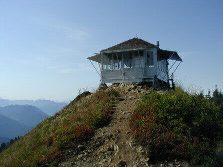
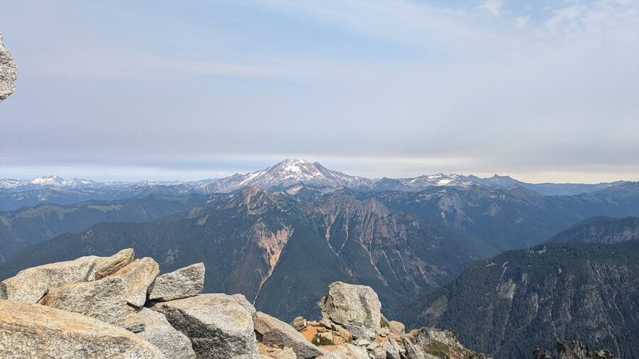
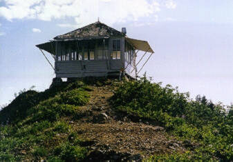
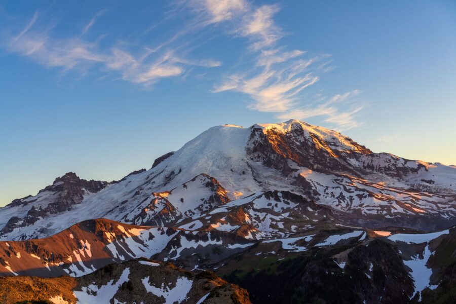
From the summit of Evergreen Mountain, Glacier Peak stands about 20 miles to the north-northeast and Mount Rainier about 70 miles to the south-southwest. On a clear summer evening the sun goes down behind the rough peaks of the Wild Sky Wilderness to the west, and both volcanoes turn pink at the same time. A 14-foot wooden fire lookout from the 1930s sits on top of all this, 5,587 feet up.
The hike is short and steep: 1.5 miles each way and 1,425 feet of climbing from a trailhead at the end of a long gravel road north of Skykomish. That road is the hard part. Floods in December 2025 damaged forest roads all over the Skykomish Ranger District, and the Forest Service did not rent the lookout for overnight stays in 2026.
Below: the road and its current state, the climb, the cabin and how to book it, the view in each direction, and how to time the light.
Contents7 parts
Where it is, and the long road in
Evergreen Mountain rises on the east side of the Beckler River valley in the Mt. Baker-Snoqualmie National Forest, in Snohomish County. The lookout stands just inside the Wild Sky Wilderness, which Congress designated in 2008 and which now covers 106,577 acres north of US 2. The nearest town is Skykomish, about 50 miles east of Everett on US 2, and from Seattle it is a long drive: hikers put the gravel section alone at about 45 minutes each way.
The Forest Service directions: drive US 2 to just west of milepost 50, between Skykomish and the Skykomish Ranger Station, and turn north on Beckler Road, Forest Road 65. The pavement ends after about 7 miles. At Jack Pass, 12.7 miles in, a five-way junction, turn right onto Forest Road 6550, and after about a mile take the left fork onto Forest Road 6554. The Forest Service’s rental listing puts the trailhead about 6.5 miles up 6554, at the end of the road.
The road after the 2025 floods
The atmospheric river storms of December 2025 closed US 2 east of Skykomish for weeks and damaged forest roads across the district. The highway was fully open again by February 10, 2026; Beckler Road took longer. The Skykomish District’s road alert of June 30, 2026 lists it as graded to milepost 12.3 at Jack Pass and closed beyond that point because of downed trees and a bridge out at the bottom of the valley. You turn off at Jack Pass, so that closure is not on your route.
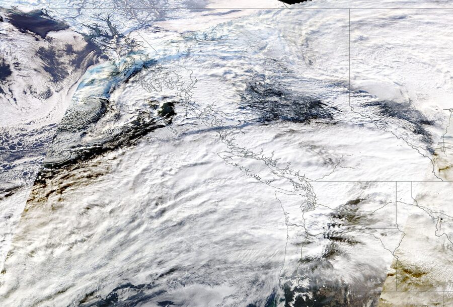
Forest Road 6554, the spur to Evergreen, is not on that closure list, and hikers drove it from July into October 2026. Their reports describe a partial washout a couple of miles past Jack Pass that needs a slow, careful line, a second washout on the upper switchbacks, and deep ruts for the last half mile. Low cars parked at the last big hairpin, about 0.6 mile below the trailhead, and walked up the road. That adds roughly 400 feet of climbing and some of the best views of the day.
The rental listing says the road to the lookout washed out in the winter flooding and that the district hopes to finish repairs in time for the 2027 rental season. Before you go, read the Mt. Baker-Snoqualmie alerts page for the Skykomish District, or call the ranger station. In winter, snow closes the road well below the trailhead.
Passes and the ranger station
The trailhead needs a Northwest Forest Pass, $5 for a day or $30 for a year as of November 2026, or an interagency America the Beautiful pass on the dashboard. The Skykomish Ranger Station at 74920 NE Stevens Pass Highway sells passes and knows the road. As of August 2026 it opens Wednesday to Friday, 9 am to 4 pm with an hour closed for lunch, and asks you to call ahead to be sure.
The hike: 1.5 miles, 1,425 feet
Trail 1056 wastes no time. The first two-thirds of a mile climbs hard through the Evergreen Mountain Burn of 1967, where the scars of the old fire are still plain on the rocky south face and the afternoon sun hits you straight on. Just past the half-mile mark you cross into the Wild Sky Wilderness, and the grade eases through a stand of old mountain hemlock.
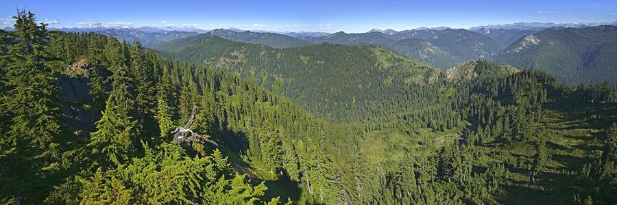
At about a mile you reach a small saddle near 5,100 feet, where forest turns to meadow and the cabin appears on the ridge above. The trail swings around the north side of the summit for one last steep pitch. In July those meadows carry paintbrush, tiger lilies, columbine, bluebells and fireweed, with biting flies to match; by September the huckleberry bushes turn red.
Most hikers take about an hour up and 45 minutes down; budget 90 minutes for the climb with a tripod and a heavy lens. It is steep from the first step to the last. There is no water anywhere on the trail.
The lookout: a 1930s L-4 cabin
The building is a 14-by-14-foot Plan L-4 lookout house, a standard Forest Service design used across the Pacific Northwest between 1932 and 1936. Its National Register nomination dates it to 1934 or 1935 and notes that nobody has found the paperwork to settle which. Wood frame, a pyramid roof, windows on every side, a floor anchored straight to the summit rock with concrete piers at the corners.
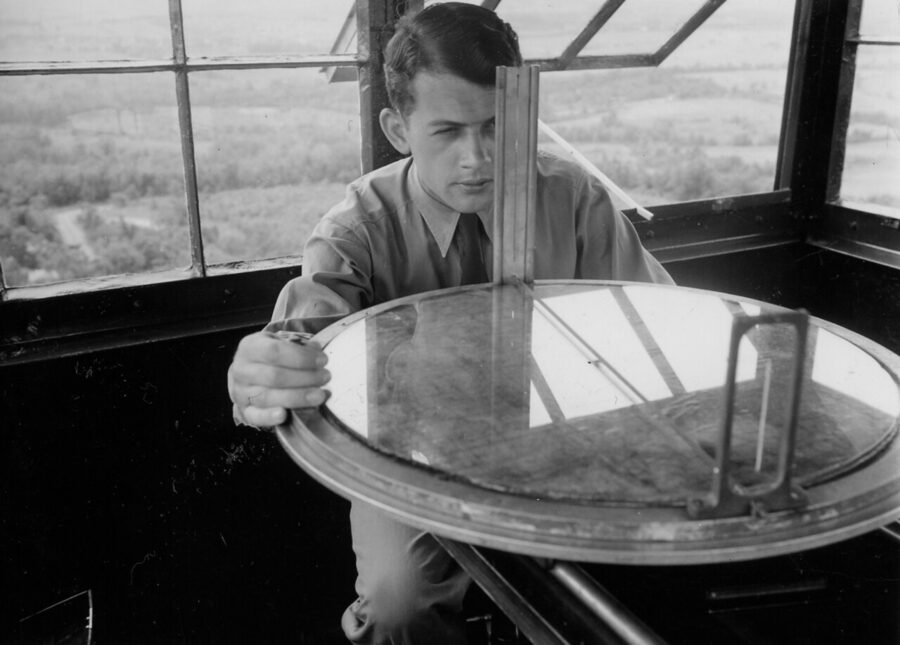
Inside, a lookout’s day turned on a firefinder: a map table with a sighting ring that gave the bearing to a smoke. A lookout who spotted fire radioed the Skykomish Ranger Station with that bearing and nearby landmarks, and crews went from there. The 1987 nomination still listed the original bunk, table, firefinder stand and lightning stool in the room.
During World War II the Army used Evergreen as an Aircraft Warning Service post, and it was staffed year-round, winter included. The fire on the south side of the mountain in 1967 burned about 6,000 acres. The salvage logging that followed pushed roads to within a mile and a half of the summit, which is why the hike today is so short.
The lookout stayed in fire service until the early 1980s. When it went on the National Register of Historic Places in 1987, windows were broken, the shutters and door were gone and the frame was leaning, but the nomination still called it one of only two intact historic lookouts left on the old Snoqualmie National Forest. Volunteers took it on in the 1990s and restored it.
Renting it overnight
When the road is open, the Forest Service rents the lookout through Recreation.gov for $85 a night (the forest’s own page still carries an older $75 figure in one paragraph, so check the price when you book). The season runs from August through September 30, weather permitting. The booking rules allow two nights in a row and four nights a year, and reservations close four days before arrival. Other Forest Service lookout rentals in Washington are listed there too.
The cabin sleeps four: one twin bed with a mattress and three spare mattresses for the floor. You get a table and chairs, a propane stove, two battery lanterns, a pot, dishes and a coffee pot. There is no water and no heat, and the vault toilet is a few hundred feet down the ridge. Bring every drop of water, plus sleeping bags, a headlamp, toilet paper and bags for all your trash; smoking is not allowed inside.
A night up here is the best way to photograph the place. You get sunset, the blue hour, the stars and sunrise over the Cascade crest without walking down in the dark. For 2026 the lookout was closed to renters while the road waited for repairs, so watch the listing for the 2027 season to open.
What you see in each direction
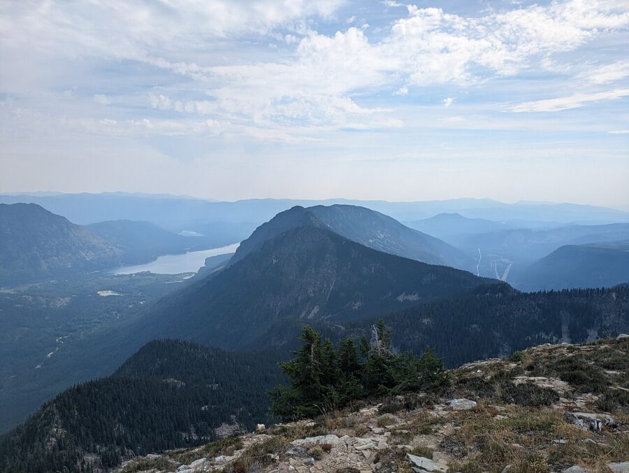
The view is a full circle, over the Rapid River and Beckler River valleys toward Rainier in the south and Glacier Peak in the north. A map or a peak-finder app helps, because the ranges between them hold dozens of named summits.
North: Glacier Peak and the Monte Cristo peaks
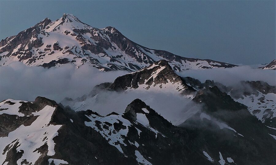
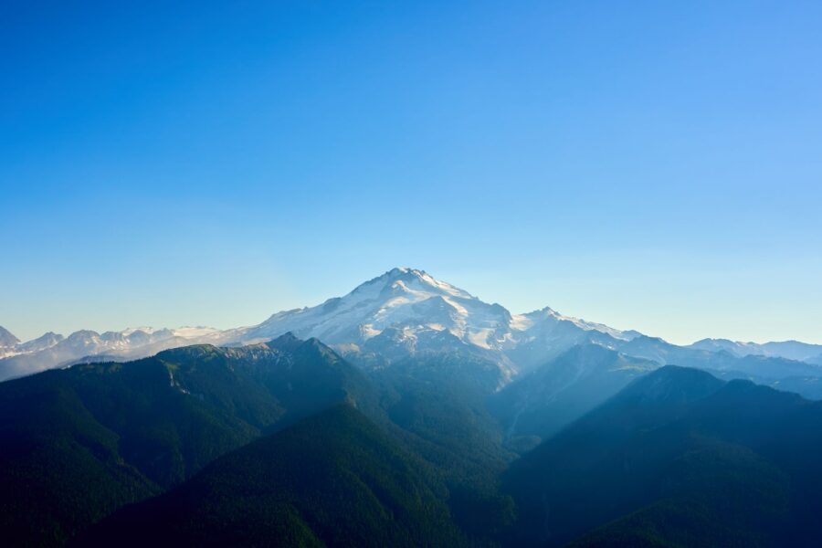
Glacier Peak, 10,541 feet, fills the view to the north-northeast about 20 miles away. The USGS rates it a very high threat volcano: since the last ice age it has produced some of the largest explosive eruptions in the lower 48 states, and it last erupted about 1,100 years ago. No major city has a prominent view of it, which is half the reason to come: from Evergreen it dominates the northern skyline.
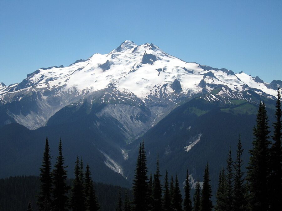
Closer in to the north stand Kyes Peak and Columbia Peak, part of the Monte Cristo group, about 8 to 10 miles off. Sloan Peak, with its tilted fin of a summit, sits just west of north at about 15 miles, and farther left you can pick out Del Campo Peak and Big Four Mountain above the Mountain Loop Highway.
West: the Wild Sky peaks, where the sun goes down
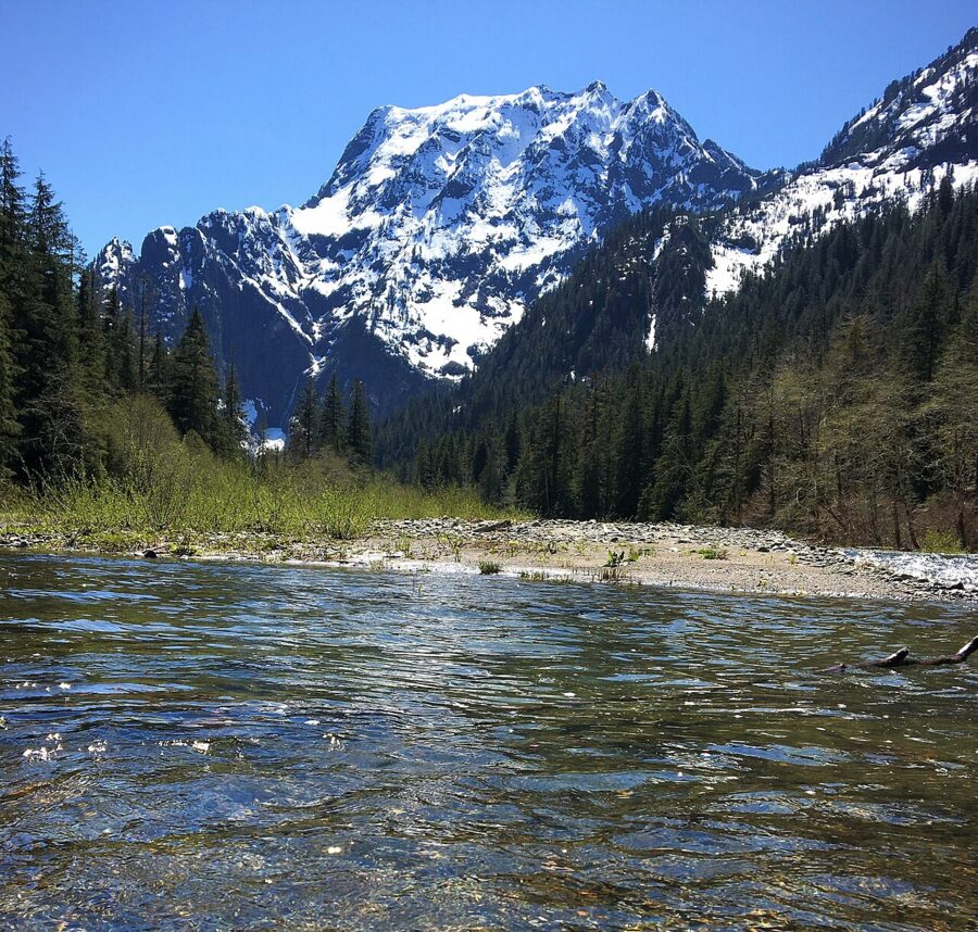
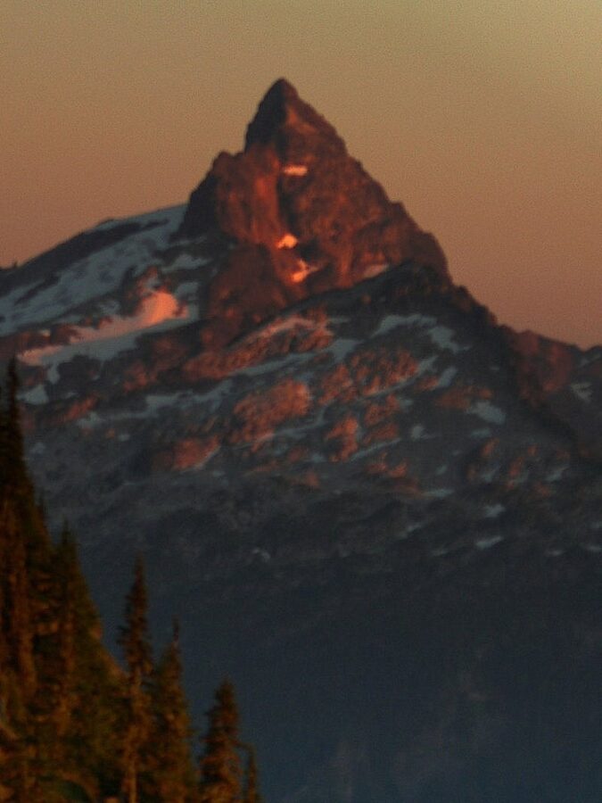
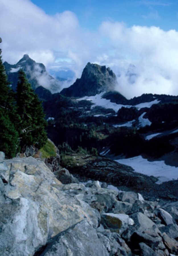
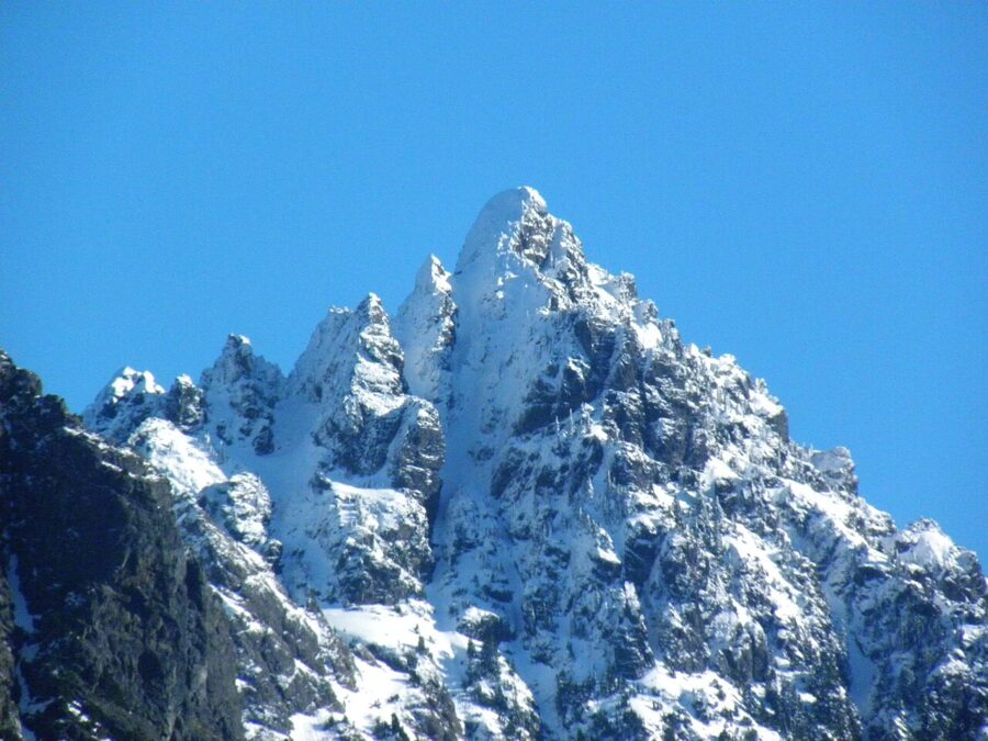
Due west, 9 to 10 miles away, stand Gunn Peak and Merchant Peak, the heart of the Wild Sky Wilderness. Gunn tops out a little over 6,000 feet, the highest point in the wilderness, and permanent ice patches cling to the north and east sides of Gunn, Merchant and Spire. Baring Mountain sits a little south of them, above US 2.
South and east: Rainier, Daniel and Stuart
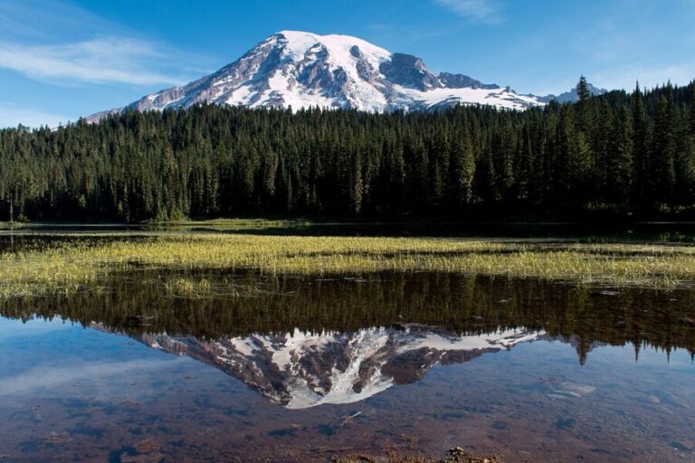
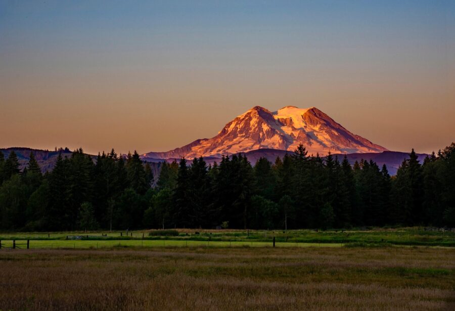
Mount Rainier, 14,410 feet, sits about 70 miles to the south-southwest, often with a band of haze across its base. Nearer to the south are Mount Hinman and Mount Daniel in the Alpine Lakes Wilderness, about 18 to 19 miles away. To the southeast, about 30 miles out, the granite of Mount Stuart stands alone.
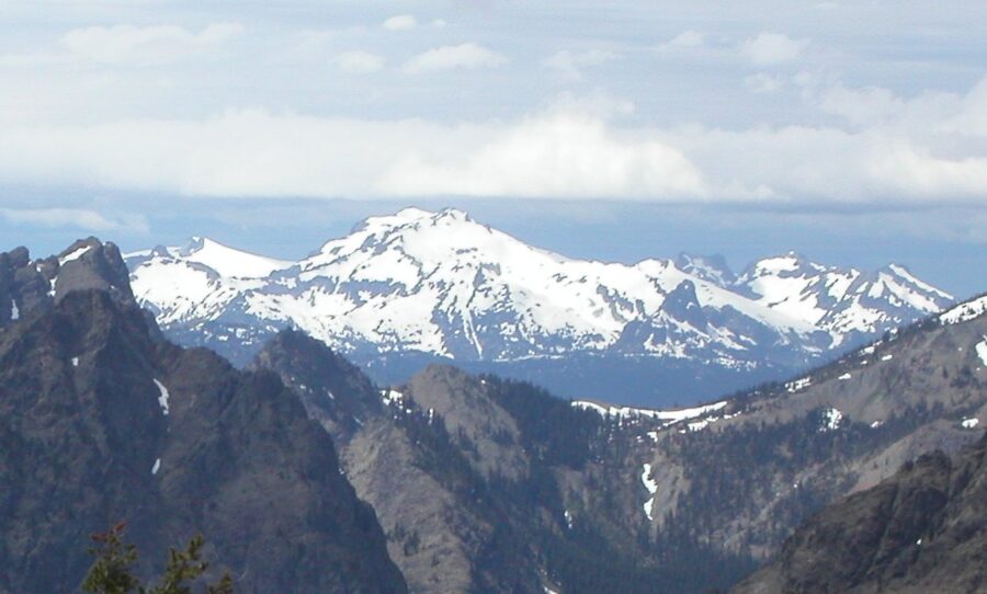
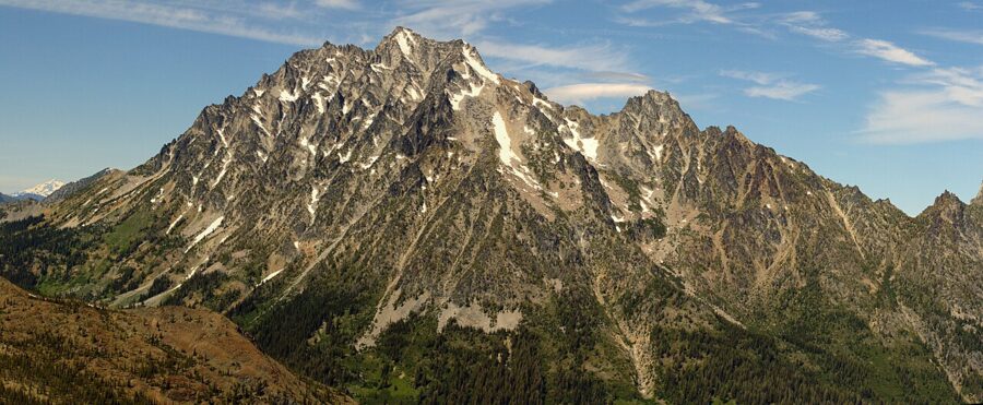
East, past the Beckler valley, the meadows of Fortune Mountain and Grizzly Peak lead to Nason Ridge and the Henry M. Jackson Wilderness along the Cascade crest. In the morning those ridges are backlit; in the evening they glow.
Timing the sunset
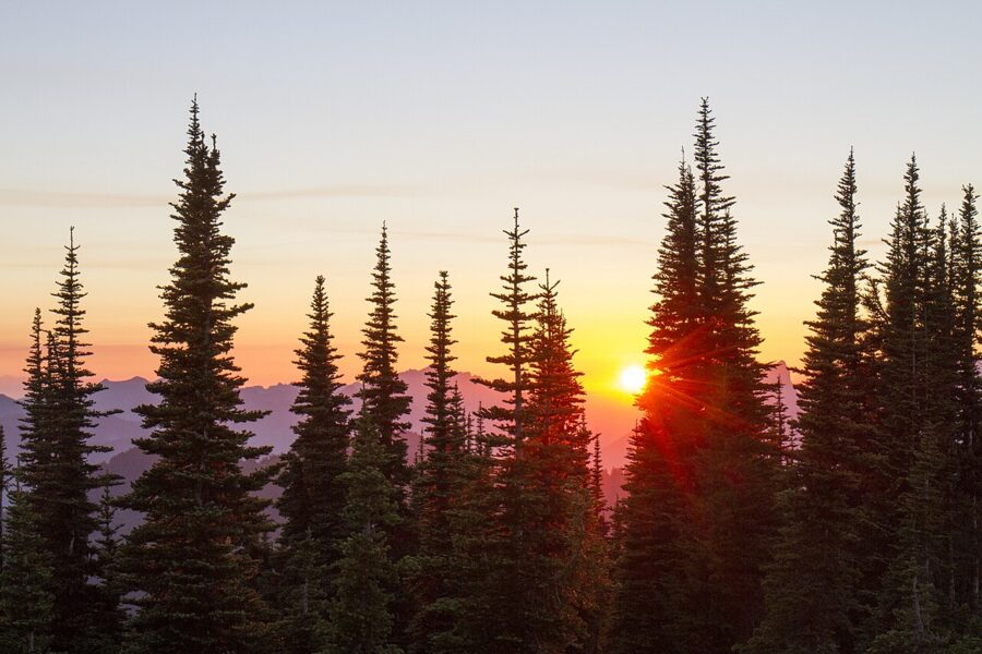
Where the sun sets depends on the month, and on Evergreen that decides your foreground. In late July it goes down in the west-northwest, well right of the Gunn and Merchant group. By late August it has moved to about west by north, and around the September equinox it sets almost due west, right over the Gunn and Merchant group. Check a sun calculator for your date and line up the azimuth with those peaks before you go.
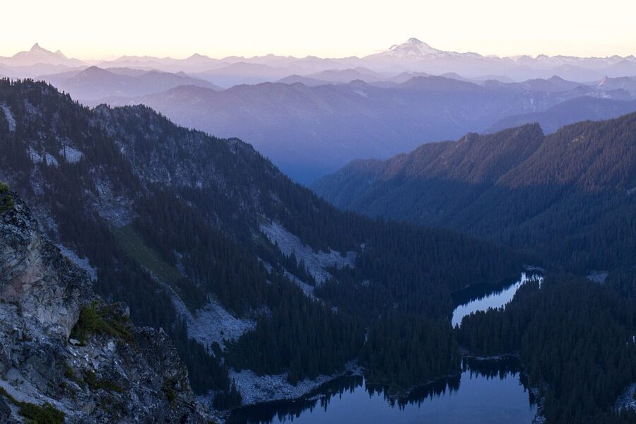
The warm light on Glacier Peak and the ridges to the east starts about 30 minutes before the sun touches the horizon, and the alpenglow on the two volcanoes peaks a few minutes after it’s gone. Then the dark band of the Earth’s shadow, with a pink fringe above it, climbs the eastern sky above the Cascade crest. That is the moment to turn around.
For the cabin itself, use the last stretch of trail. It comes up from the north, so the lookout stands on the skyline in front of you with the summer sunset off to your right, lighting one side of the building. With a wide lens and a low angle you get the cabin, the burning sky and the Wild Sky ridges in one frame.
Low cloud can help. When the cloud base sits a little below the summit, the lookout ends up above a sea of cloud with the sun breaking through the trees at its edges, and the peaks stick out of it like islands. Westerly cloud on the horizon, on the other hand, can swallow the sun before it sets.
Walking down in the dark
If you stay for the afterglow, you descend by headlamp. The trail is short but steep, with roots and loose gravel in the burn, so bring a real light and a spare. Hikers who have done it in 2026 call the walk down easy enough with care, but the drive out on rutted gravel in the dark is what deserves the attention. On clear moonless nights in August the Milky Way stands in the south and southwest after twilight, above the Rainier side of the view.
What to bring
- Water. Two liters each for the hike at least, and all of it for an overnight. The trail and the summit are dry.
- Headlamp and spare batteries for anyone staying past sunset.
- Layers. The summit is exposed and windy, and a warm afternoon becomes a cold evening fast.
- Bug protection in July and early August, when biting flies are bad at the top.
- A telephoto lens, 200mm or longer, for Glacier Peak and Rainier, plus a wide lens for the cabin and the sky.
- A paper map. Green Trails No. 143, Monte Cristo, covers the trail and helps you name the peaks; don’t count on a phone signal.
- The pass on your dashboard.
Black bears, elk, bobcats and bald eagles live around the mountain, and wolves have returned to the area, though you are more likely to hear them than see them. Keep food sealed and pack out everything. The summit is inside designated wilderness, so drones may not take off or land there.
Fire season, smoke and closures
Fire is the reason this cabin exists, and it still shapes when you can visit. In 2026 the Mt. Baker-Snoqualmie National Forest banned campfires forest-wide, wilderness included, from July 23 until it lifted the ban on September 15. Expect something similar most summers, and check the forest’s alerts page for the current rules before you go.
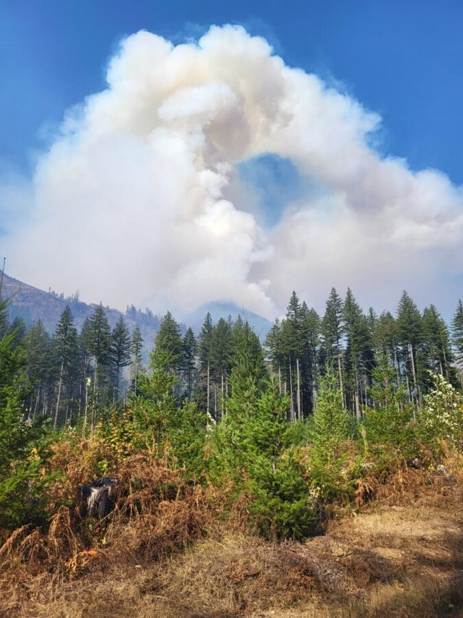
In late summer, smoke from fires east of the Cascades can flatten the distant peaks and hide Rainier, though it also turns the sun red near the horizon. Check the air quality and the fire maps the day before, and if Rainier is your goal, go after the first fall rain clears the air.
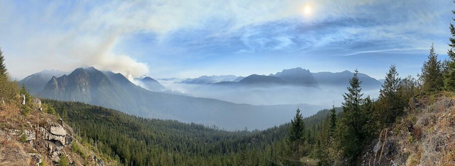
The season is short in any case. Snow lingers on the upper road and the north side of the summit into early summer, and autumn storms bring it back. July to early October is the window, and September often has the clearest air.
Plan to be on the summit an hour before sunset, with the sun calculator’s azimuth in your head and Gunn Peak in your sights. Stay until the pink on Glacier Peak turns blue, then walk down slowly.