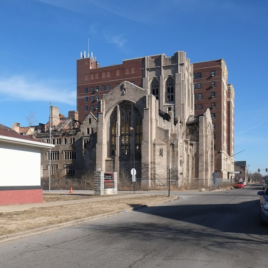
The bell tower of City Methodist Church rises over the corner of Sixth Avenue and Washington Street in downtown Gary, and since October 2026 it has stood behind a demolition fence. Crews from Homrich Wrecking began taking the church down in early November, and the city’s schedule has the site cleared and restored by August 24, 2027. If you have wanted to photograph one of the best-known ruins in the Midwest, the next few months are the last chance, and the only legal place to do it from is the public sidewalk.
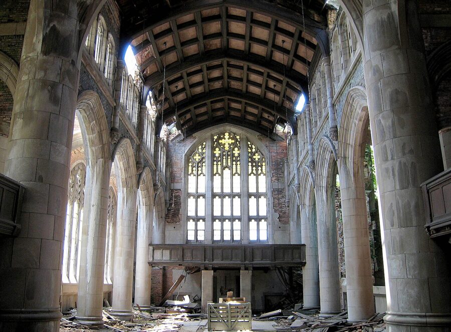
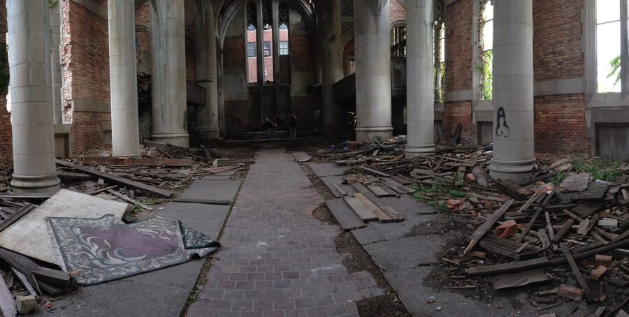
That changes what the trip is. For twenty years the pictures that made this building famous came from inside: the shattered sanctuary, the Gothic window over the altar, snow drifting across the sanctuary floor. Those rooms are now a hazardous worksite. What you can still get is the building from the street, the limestone tower in afternoon light, and the slow work of a church being taken apart, which is its own record of a city’s history.
I would go soon. A demolition site changes week by week, and nobody outside the contractor knows which wall comes down first.
Contents8 parts
Where things stand in November 2026
On September 2, 2026, the Northwest Indiana Regional Development Authority awarded Homrich Wrecking a contract of about $5.3 million to demolish City Methodist Church and the former St. Mary Mercy Hospital a few blocks away. Gary’s leaders chose demolition after no funding partner came forward for a stabilization plan priced at $4.2 million. The city’s chief communications officer described the building as unsafe and unrecoverable, and said the mayor had to put the safety of nearby students and residents first.
The scope is the whole complex. The regional authority has said the sanctuary, the fellowship hall, the theater and the bell tower all come down, which ends years of talk about saving the tower alone.
The City of Gary’s demolition notice of October 13, 2026 puts the church in the second phase of a downtown clearance program. Site staging, fencing and asbestos abatement began the week of October 12. Work runs under state environmental oversight with water spraying to keep the dust down, and the notice lists traffic shifts on Washington Street, Adams Street and the nearby alleys as heavy equipment arrives. The cleared lot is planned as part of a downtown green corridor.
| Date | What happened |
|---|---|
| September 2, 2026 | Demolition contract awarded to Homrich Wrecking (about $5.3 million, shared with the St. Mary Mercy Hospital job) |
| Week of October 12, 2026 | Fencing, site staging and abatement begin |
| Early November 2026 | Crews begin taking the church down |
| August 24, 2027 | Scheduled end of demolition and site restoration |
One piece stays. The state historical marker titled “City Church,” placed on the Washington Street side in 2019, is to be preserved and moved, according to the city. Check the City of Gary’s news page before you go for the latest street closures, because they shift with the work.
A church built for a steel town
Gary did not grow; it was built. U.S. Steel founded the city in 1906 for its new Gary Works mill and named it after its chairman, Elbert H. Gary. Immigrants from Europe, Black families from the South, Mexican workers and white migrants from the countryside poured in, and by the 1920s downtown needed a church that matched the mill’s ambitions.
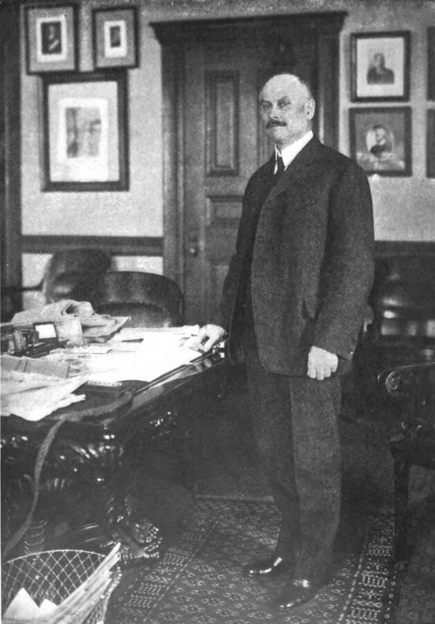
The Rev. William Grant Seaman of the First Methodist Episcopal Church started planning one in 1917. Ground was broken on January 25, 1925, to designs by the Chicago firm Lowe & Bollenbacher, and the church opened in October 1926. Accounts of the cost run from $650,000 to $800,000, and U.S. Steel paid roughly half of it. Elbert Gary gave the organ.
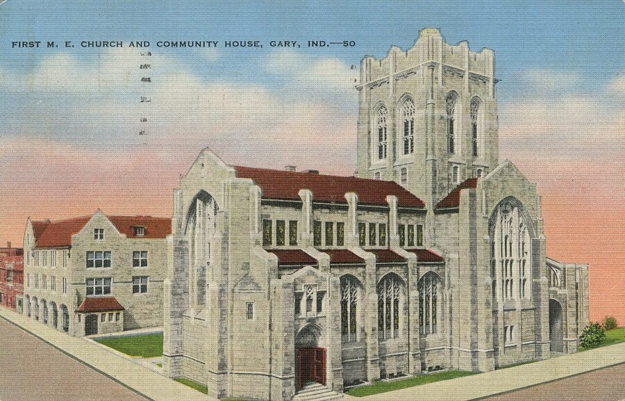
Seaman wanted a church that was open every day, and the building shows it. Next to the Gothic Revival sanctuary rose Seaman Hall, a nine-story wing with a theater for about 1,000 people, a gymnasium, a cafeteria, Sunday school rooms, offices and shops whose rent helped pay the bills. Concerts, plays, Scout meetings and meetings on race relations all happened under one roof, which is why people in Gary called it City Church.
A segregated congregation in a changing city
The welcome had limits. The state historical marker and its research notes make the point plainly: the congregation stayed white until the church closed, and Black and immigrant residents used its programs mostly in separate groups. After Seaman left in 1929 the church turned more inward.
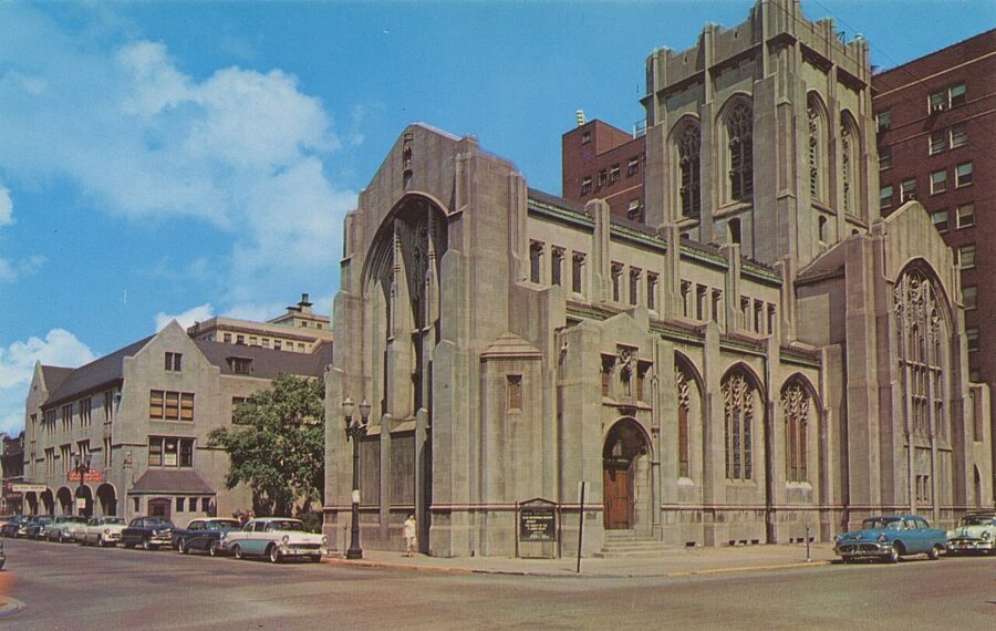
Membership was about 1,700 in 1927 and passed 3,000 in the 1950s, when this was among the largest Methodist congregations in the Midwest. Then white families left Gary for the suburbs, and they took their pledges with them. The Rev. S. Walton Cole pushed for integration in the 1960s, and in 1964 the church hired Aurora Del Pozo to work with Gary’s Spanish-speaking residents. It was late.
A 1973 pastoral report admitted the church had waited too long to build ties with its own neighbors. Membership had fallen to about 320. Talks about merging with a Black congregation went nowhere, and the last Methodist service was held in October 1975. If you want the full story, James W. Lewis’s book The Protestant Experience in Gary, Indiana, 1906-1975 is the standard history.
Fire, a falling roof and film crews
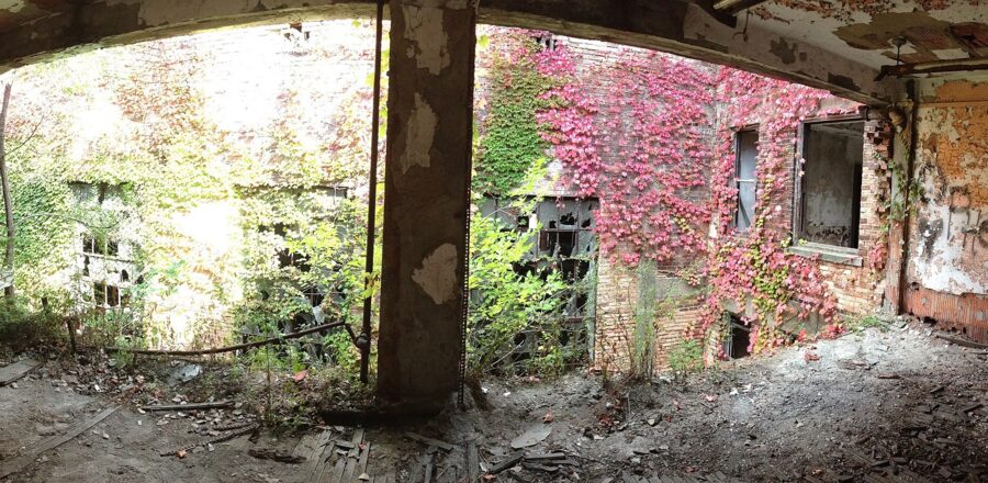
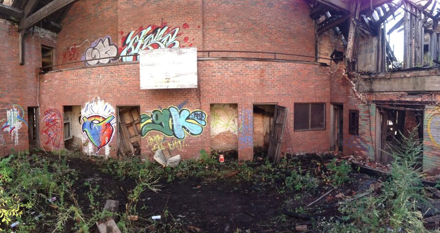
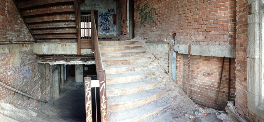
Indiana University Northwest had used three floors of Seaman Hall from the 1940s, but the sanctuary sat empty after 1975. In 1997 a fire that spread from nearby buildings brought down much of the roof. In 2011 another section above the sanctuary caved in, and thieves had long since stripped most of the fixtures.
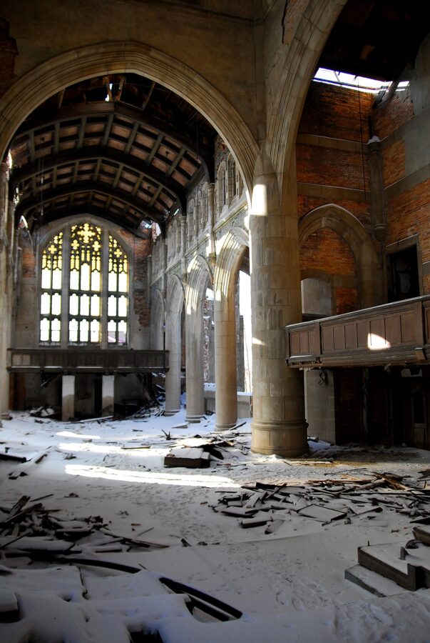
The decay made it a film set. Crews shot scenes for the 2010 remake of A Nightmare on Elm Street and for Transformers: Dark of the Moon (2011) here, and the ruin hosted weddings and more urban exploration shoots than anyone could count.
The ruin garden that never got built
The idea that won the most hearts was to leave the sanctuary as an open-air ruin. A park plan from the early 2000s kept the sanctuary as its centerpiece and cleared the rest, and the city revived it in 2014. Indiana Landmarks put the church on its list of the state’s most endangered places.
In 2018 the city worked with the Chicago architects Bailey Edward on a redevelopment plan, and their concept for a stabilized ruin garden for events and walking became the picture everyone shared. In 2025 Gary and the University of Notre Dame’s Housing and Community Regeneration Initiative proposed keeping the bell tower as the anchor of a City Renaissance Park downtown. In January 2026 the city’s redevelopment commission approved $112,500 for Bailey Edward to plan the stabilization of the tower and the sanctuary.
The money for the work itself never arrived. Stabilization was priced at $4.2 million, nobody signed on to pay it, and by summer 2026 the city had turned to demolition. Preservationists argued against it in print, and I think they were right that a steel-and-limestone ruin of this quality is not coming back. But the decision is made, the fence is up, and the useful question for a photographer is what you can still see.
Photographing it legally
Do not go inside. The church has been fenced as an active demolition site since October 2026, and walking past that fence is trespassing on a worksite with heavy machinery and falling stone. For years photographers could arrange permitted access through the city, but don’t plan around a permit now. If you have a professional reason to ask about filming the demolition, the City of Gary’s communications office is the place to start.
Everything below is from public sidewalks and streets. Stay on them, keep out of the traffic shifts and do not block the school entrances.
Where to stand
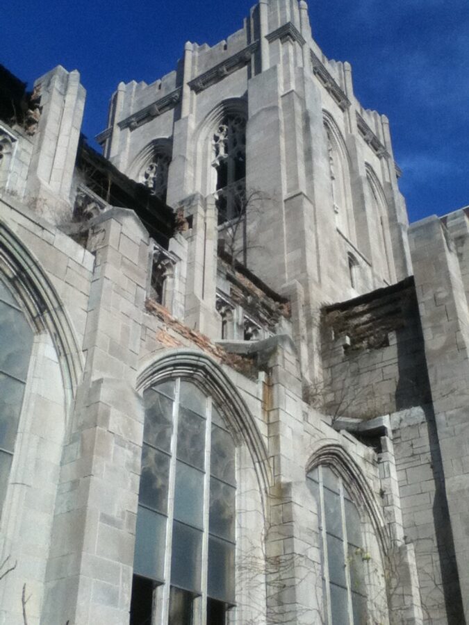
The church fills the northeast corner of Sixth Avenue and Washington Street. Its Washington Street front faces west and its Sixth Avenue side faces south, and that decides the light: the south wall takes sun through the middle of the day, and the west front lights up in the afternoon and goes warm in the last hour before sunset. In the morning that west front is in shade and the sky behind it is bright, so I would not bother arriving early.
- Southwest corner of Sixth and Washington. The classic three-quarter view, with the tower, the great sanctuary window and the Sixth Avenue wall in one frame. Best from early afternoon.
- West side of Washington Street, looking east. A straight-on view of the west front. A wide lens holds the whole thing; a short telephoto picks out the tracery and the carved stone around the windows.
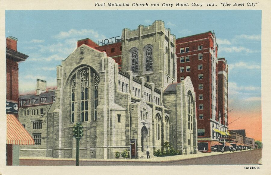
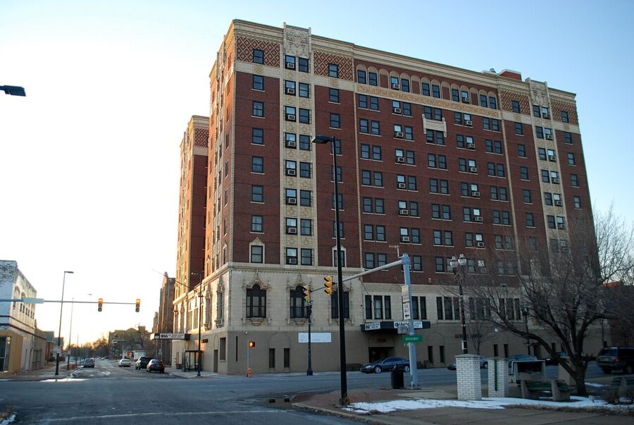
- Sixth Avenue, west toward Adams Street. Looking east along Sixth from here puts the church in front of the brick bulk of Genesis Towers, which opened as Hotel Gary in 1926 and is now senior housing. The two buildings were built side by side and have been photographed together since the postcards.
Light, season and the demolition itself
Winter is short on daylight in northwest Indiana, but a low winter sun skims across the south wall for most of the day and brings out every chip in the limestone. A clear afternoon after snow is the picture I would want: white ground, gray stone, blue sky. Check a sun calculator for the date, and plan around the work hours, because the crew and the machines will be in your frame on weekdays.
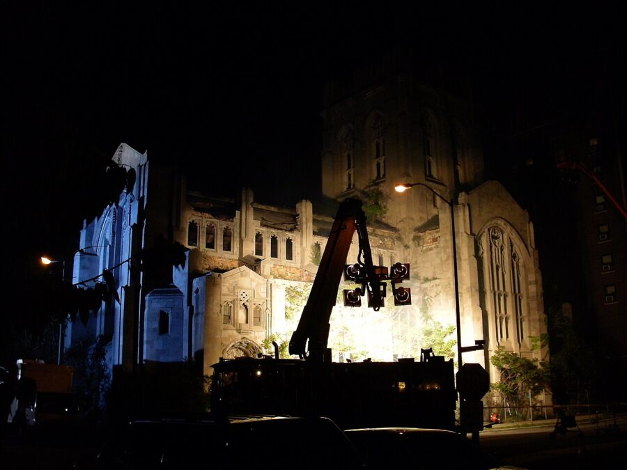
Don’t fight that. Excavators against Gothic tracery tell the story of 2026 better than another empty-ruin shot, and a telephoto from across the street gets the detail without putting you anywhere near the work. If you return over several months, shoot from the same spot each time; a sequence from one corner will be the most useful record you can make.
Drones
Downtown Gary is about four miles from Gary/Chicago International Airport, so check the airspace with an FAA-approved app before you fly, and never fly over the crew or the fenced site. From the sidewalk, a long lens does nearly everything a drone would here.
Safety around the site
The building was dangerous long before the fence went up. The director of Indiana Landmarks’ northwest field office said in September 2026 that pieces were falling off the church and that it had been blocked off because it was not safe for anyone to go in. Abatement of regulated materials, asbestos among them, is part of the current work. Stay outside the fence and well back from it when machines are running.
The block is also a working neighborhood. GEO Academy sits across Washington Street, Genesis Towers is home to older residents, and the Gary Police Department operates nearby; the city has kept access open for all of them during the work. Don’t photograph children, park legally, and keep camera bags out of sight in the car. Downtown streets are quiet, and I would plan to be done before dark.
Getting there
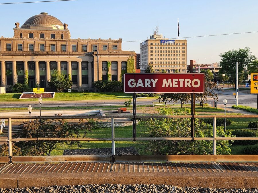
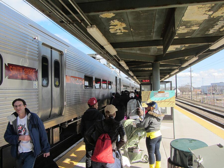
By train, the South Shore Line runs from Millennium Station in downtown Chicago to Gary Metro Center at 200 West Fourth Avenue. The church is about a five-minute walk south. It makes an easy day trip if you are already in the city for Chicago architecture photography; see the current timetable on the South Shore Line’s own site, because service patterns changed in 2026.
By car, downtown Gary sits just south of Interstate 90 (the Indiana Toll Road) and a short drive north of the end of Interstate 65. Street parking near Sixth and Washington is usually easy, but obey the work-zone signs, which move as the demolition does.
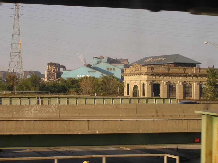
From the Gary Metro platform you also get a view of Gary Union Station, a 1910 concrete depot that has stood empty for decades. It is worth a frame on the way past.
Gary beyond the church
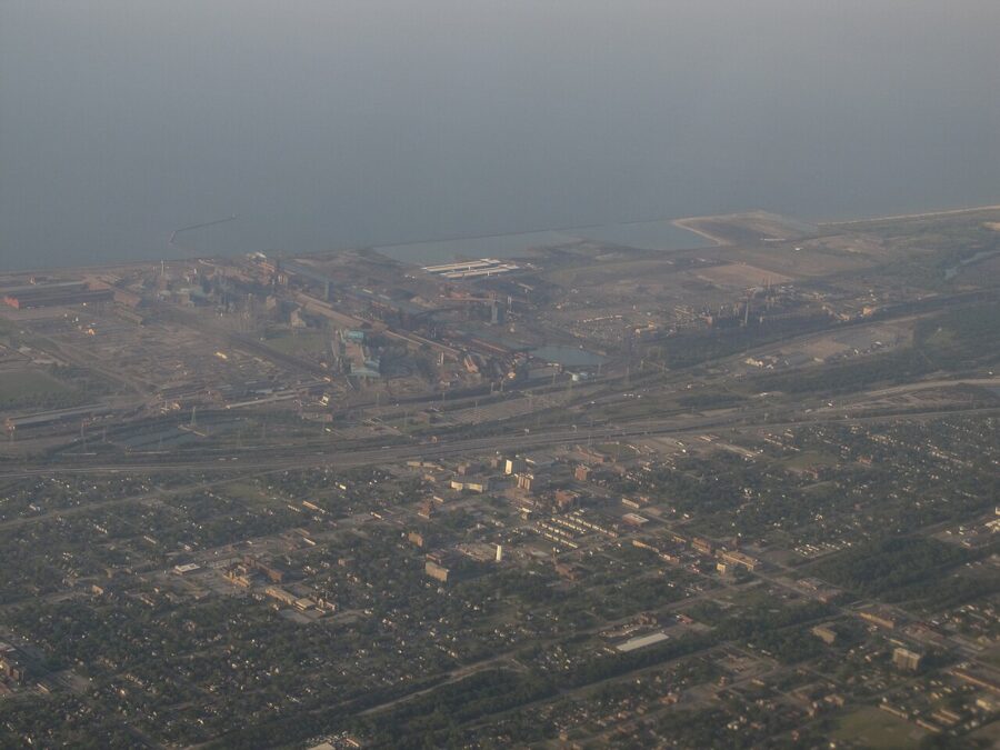
Gary has about 69,000 residents as of the 2020 census, well under half its 1960 peak, and the city is still known for two things: steel and the Jackson 5, who grew up here. Gary Works still runs along the lakefront north of downtown, on the far side of the Toll Road.
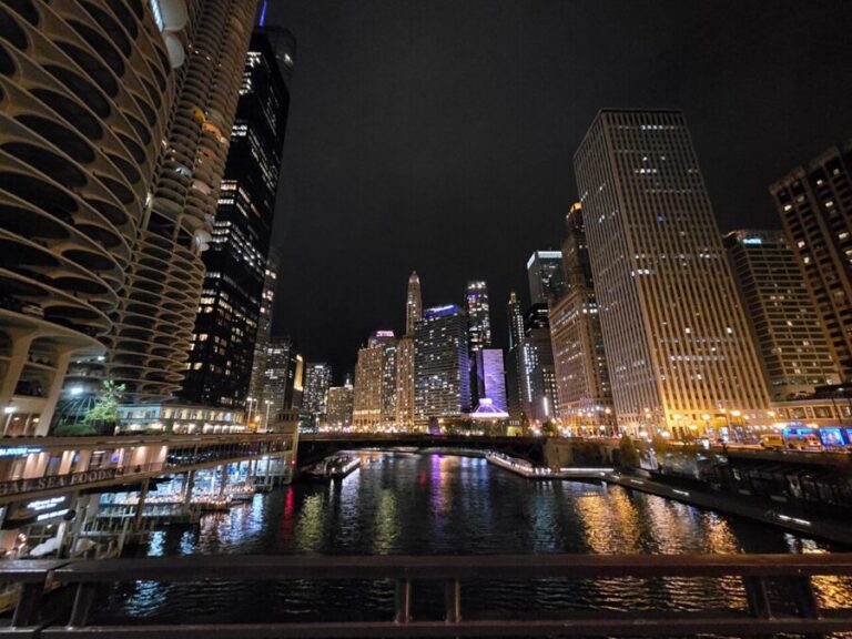
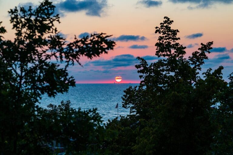
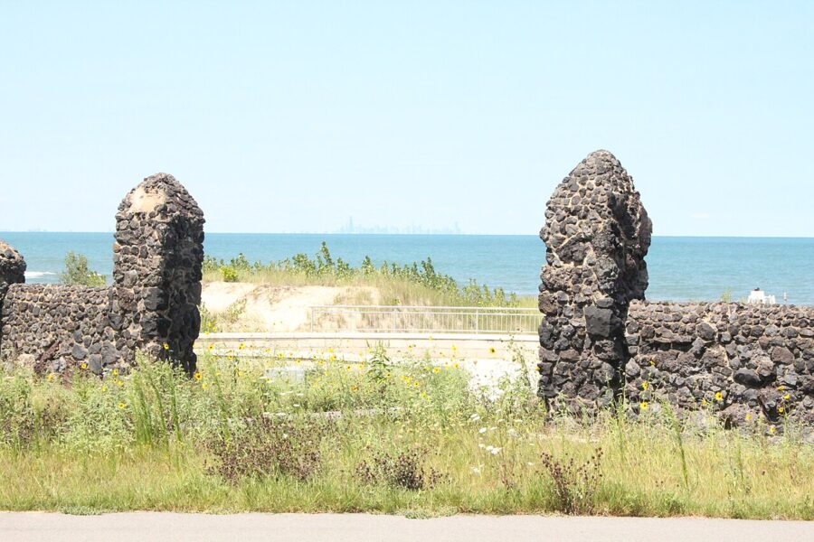
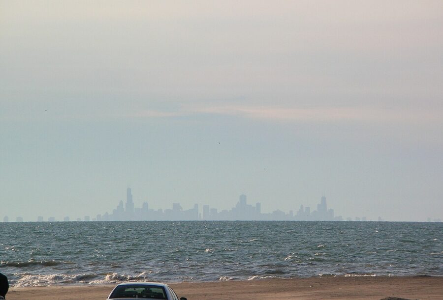
Most of the rest of Gary worth a camera is on the lake. Marquette Park in the Miller Beach neighborhood has dunes, a lagoon and the Aquatorium, a bathhouse designed by the Chicago-area firm George W. Maher and Sons. The beach faces north and west across Lake Michigan, and on a clear evening the Chicago skyline sits on the horizon about 25 miles away.
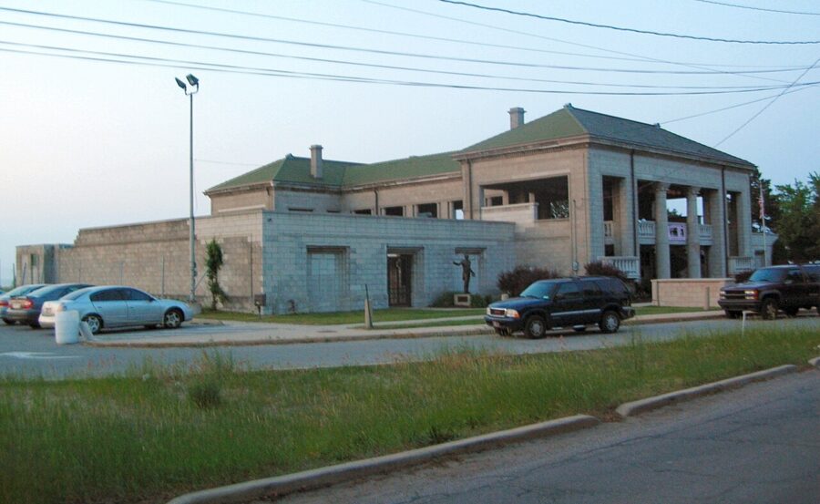
For the skyline, walk the beach or try Lake Street Beach, just west of the park. A 200mm lens or longer stacks the towers over the water. In June the sun sets in the northwest, just left of the skyline, so the towers come out of the haze in the last half hour; at other times of year the sun goes down farther south and the skyline turns blue after it. Check a sun calculator for your date.
Indiana Dunes National Park, twenty minutes east
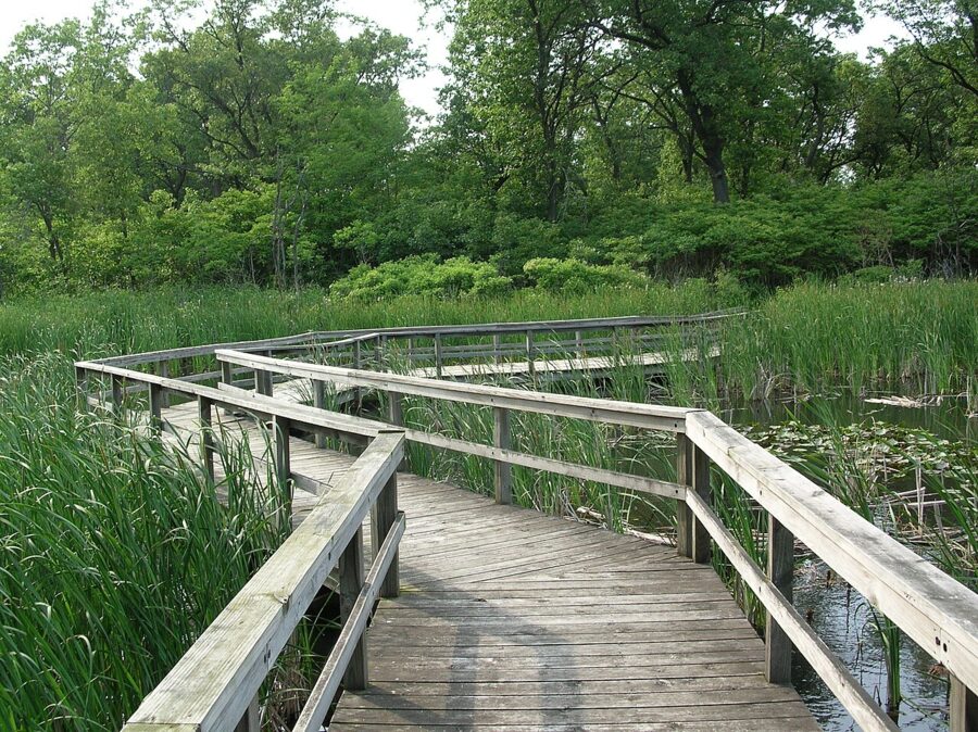
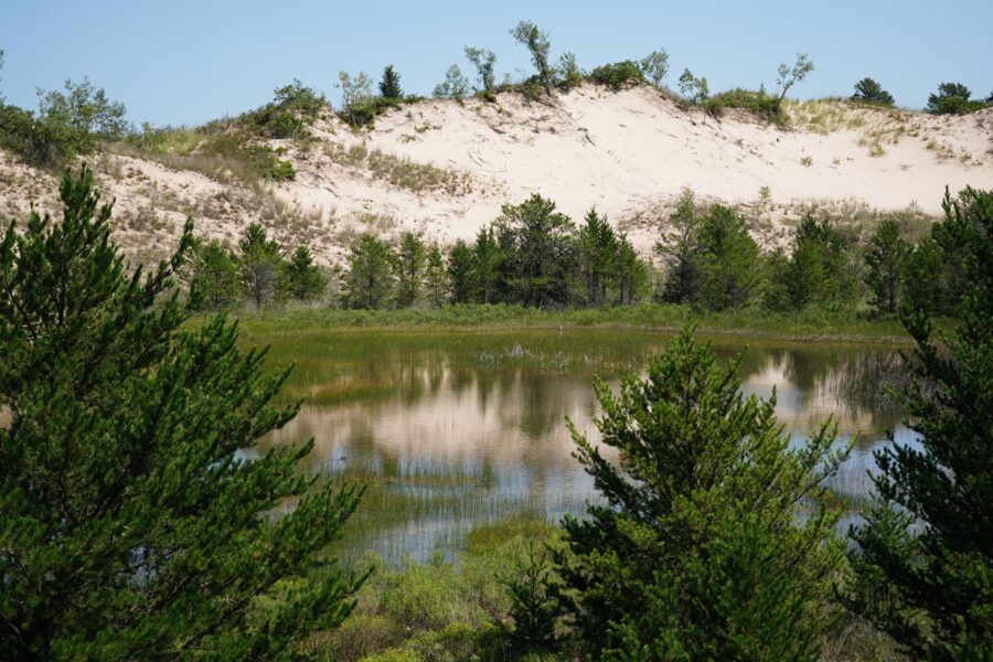
The westernmost unit of Indiana Dunes National Park is inside Gary. The Paul H. Douglas Center for Environmental Education in Miller Beach is the trailhead for the Miller Woods trail, which crosses an interdunal marsh on a boardwalk and heads out through the dunes toward the lake. It is the closest wild place to the church, and morning light on the marsh is the best time.
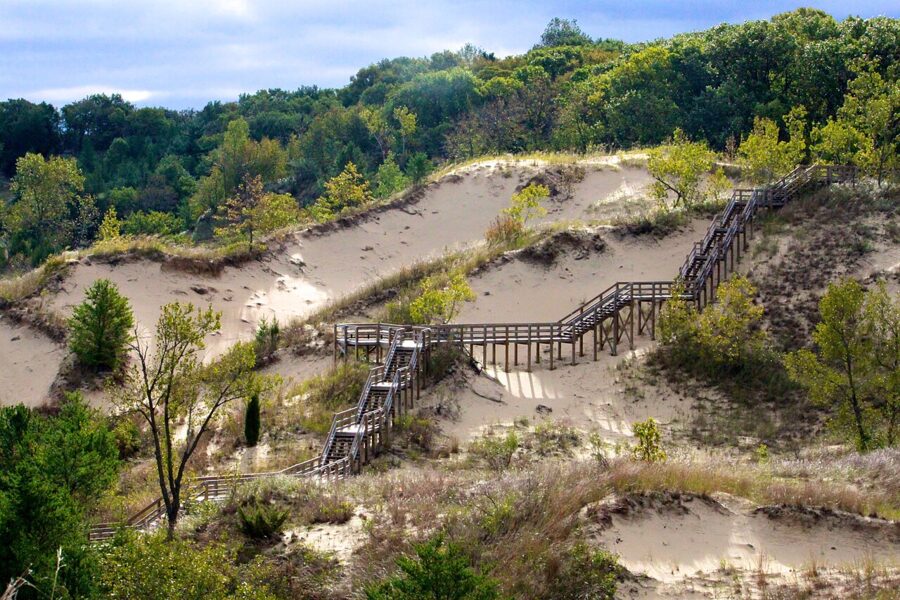
A few miles farther east, West Beach (parking at 376 North County Line Road) has the Dune Succession Trail, a run of wooden stairs over dunes in every stage of growth from bare sand to oak woods. The top of the stairs looks out over Lake Michigan, and Chicago’s skyline shows on clear days. Climb it in the late afternoon, when the light comes in low across the dunes, and stay on the stairs: the grass is what holds the sand in place. Launching a drone in a national park needs a permit, so leave it in the car here.
As of 2026 the park charges an entrance fee if you stop to walk a trail or use a beach: $25 per private vehicle for seven days, $15 per person on foot or bicycle, or $45 for a park annual pass. Driving through costs nothing. The West Beach kiosk collects fees in summer and takes cards only, so check the park’s fees page before you go.
Indiana Dunes State Park, surrounded by the national park farther east near Chesterton, is run separately by the state and charges its own entrance fee; the national park’s annual pass does not cover it. Its beach and the high dunes behind it are one of the better places for Indiana sunsets on the drive back toward Chicago.
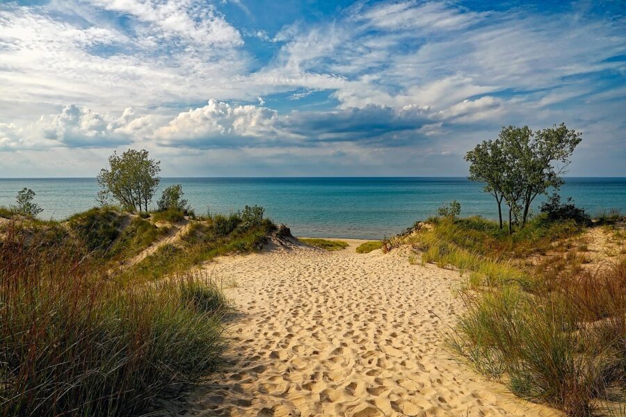
Spend the afternoon at the church and the evening on the dunes. Be at Sixth and Washington by about two o’clock, as the sun comes around onto the west front, and the light on the limestone will last you until it is time to drive east for sunset.