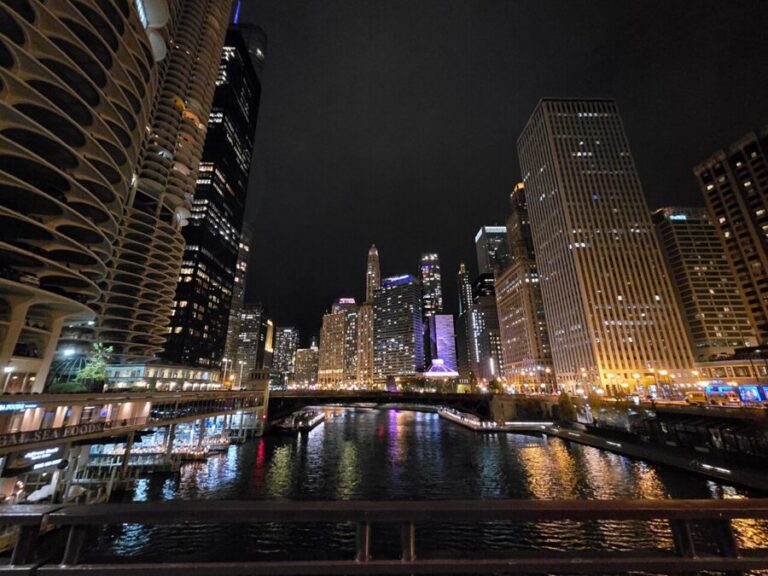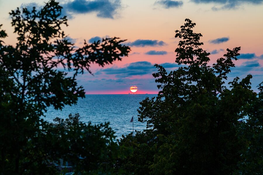
In the first week of May, from the sand at Kemil Beach in Beverly Shores, the sun goes down almost exactly behind the Chicago skyline, 35 miles away across Lake Michigan. It happens again in the first week of August. Two hours east, in the farm country around Milford and Warsaw, the same sun sets over corn stubble and kettle lakes with nothing taller than a grain bin in the way.
Northern Indiana gives you those two kinds of evening: a big lake with a city on its far shore, and a flat inland sky over fields and glacial lakes. Both need you to know which way the sun is heading that week, which clock you are on, and whose land you are standing on.
Contents7 parts
Why flat ground makes the sky the subject
The ice did this. A state historical marker on the courthouse lawn in Warsaw, put up in 1966, explains that about 14,000 years ago melting blocks of ice left behind by the last glacier formed the kettle lakes of northern Indiana. The same retreat left the ground between them low and level. There are no ridges to cast early shadows and nothing to block the last few minutes of light.
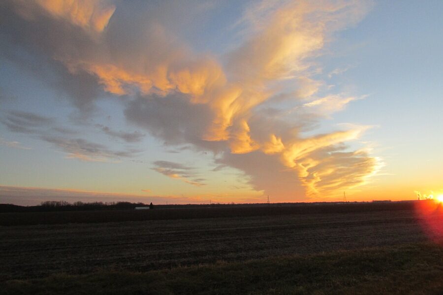
So the sky is the subject. Put the horizon low, a quarter or a third of the way up the frame, and let the clouds fill the rest. A cloudless evening is usually a weak one; I would rather drive out under broken high cloud with a gap on the western horizon, the setup that lights the clouds from below after sunset.
The ground still needs one dark shape against the color: a barn, a grain bin, a fence line, a lone tree. Corn rows make leading lines in early summer, while the plants are knee high. By late July they are a wall.
Indiana also sits near the western edge of the Eastern time zone, which pushes sunset late on the clock: around 9:20 in Warsaw in late June. You can drive the lakes all afternoon and still be on a county road when the color starts.
When the sun goes down, and in which direction
Two things trip people up. The first is time zones. Lake, Porter and LaPorte counties, which hold the whole Lake Michigan shore, run on Central Time, while Kosciusko County and the lake country around it run on Eastern. Drive from Warsaw to the dunes and you gain an hour on the clock; drive back and you lose it.
The second is direction. At this latitude the setting sun swings through about 64 degrees of the horizon over the year: northwest in June, due west at the equinoxes, southwest in December. On a lakeshore that faces north, that swing decides whether the sun sets into the water or behind the land.
| Date | Warsaw and Milford (Eastern Time) | Indiana Dunes (Central Time) | Where the sun sets |
|---|---|---|---|
| Late June | about 9:20 p.m. | about 8:25 p.m. | Northwest, about 303 degrees |
| Late September | about 7:40 p.m. | about 6:45 p.m. | Due west |
| Late December | about 5:20 p.m. | about 4:20 p.m. | Southwest, about 239 degrees |
The times are rounded, so check a sun calculator for your date and spot. Note the quirk: the dunes clock reads almost an hour earlier, yet in real time the sun sets there a few minutes later than in Warsaw, because the shore lies farther west. Arrive 40 minutes before sunset and stay at least 20 after.
Indiana Dunes on Lake Michigan
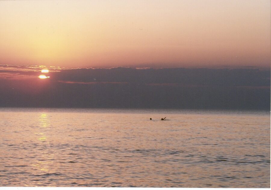
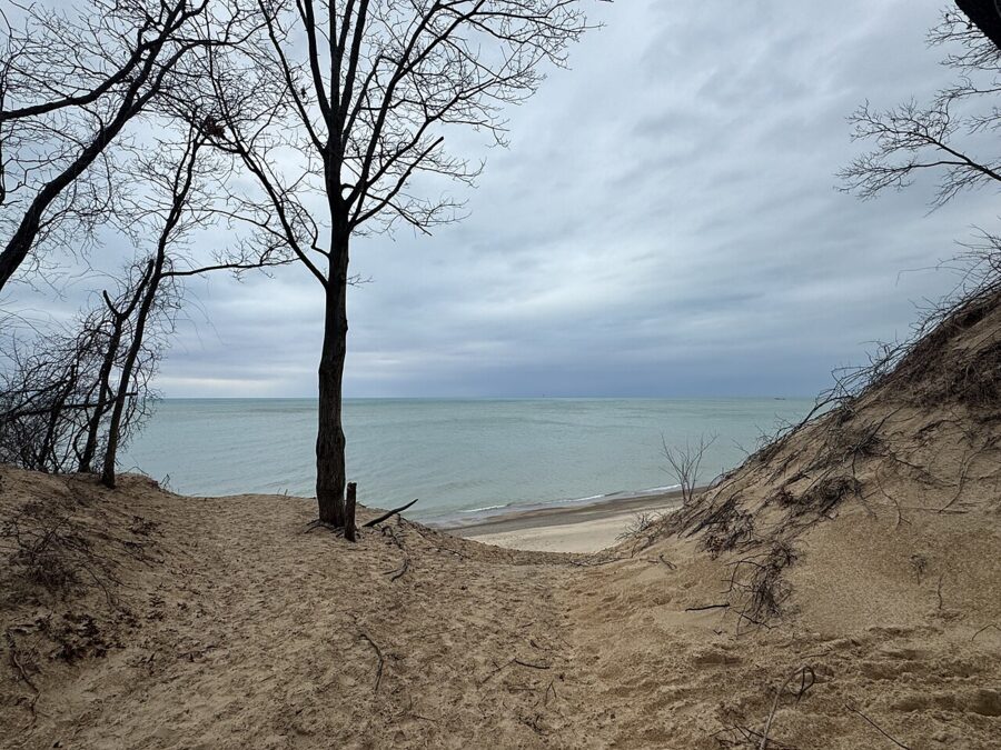
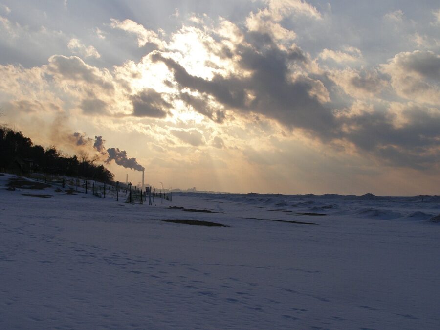
The national park holds about 15 miles of Lake Michigan beach between Gary and Michigan City, with the state park set into it. The water lies to the north. From April through about August the sun sets over open lake, and the later in spring you go, the farther it swings toward Chicago. From November through February it goes down over land to the southwest, often behind the smoke of the Port of Indiana and the steel mill at Burns Harbor, which sit between the state park and the national park’s western beaches.
As of November 2026 the national park charges $25 per private vehicle, valid for up to seven days, or $15 per person on foot, by bike or by boat. You need it when you stop to use a beach or trail, not when you drive through. The park’s $45 annual pass is not accepted at the state park, which has its own gate. Drones are banned on park land and water unless the superintendent approves in writing.
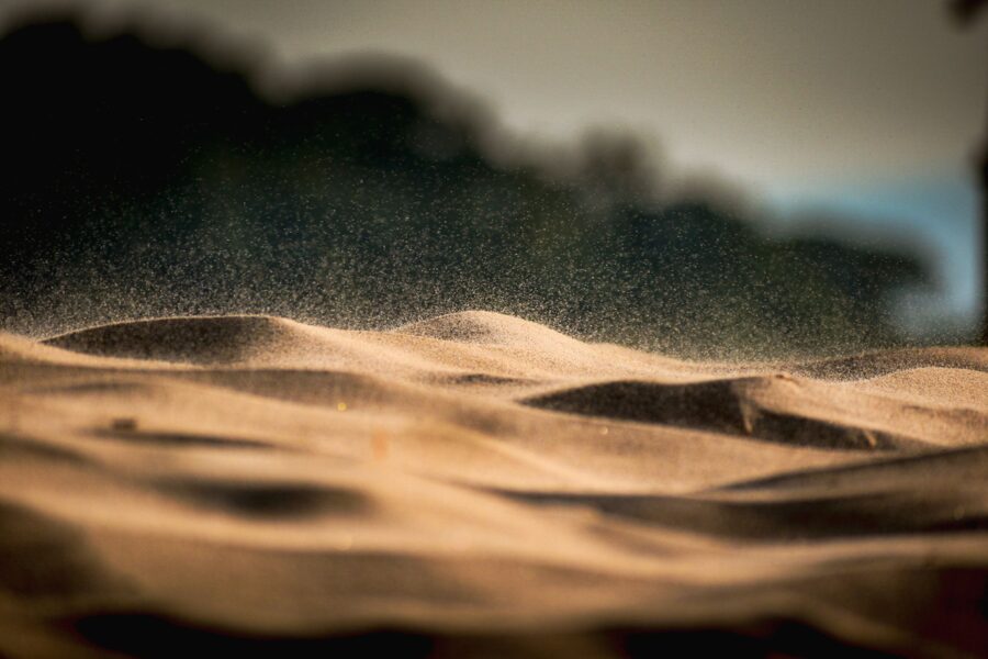
The bigger rule for photographers is about the sand itself. The park limits shoreline visitors to the beach and official trails, and climbing, descending or crossing the foredunes and their vegetation is prohibited. The grass is what holds the dunes in place. Shoot from the beach or from the stairs, not from the slope.
West Beach and the Dune Succession Trail
West Beach is the national park’s big summer swimming beach and its closest beach to Chicago, about 28 miles off. The Dune Succession Trail, a loop of roughly a mile, climbs about 270 stairs to a dune top where the National Park Service promises a view over the lake to the city. It is a steep climb, and worth it once.
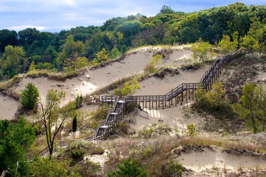
There is a catch for sunset. From West Beach the skyline sits at about 309 degrees, and the sun never sets that far north, even in June. You get the city off to the right of the sun, not behind it. And West Beach closes at 9 p.m., so on a June evening you have about half an hour after sunset before you need to be back at the car.
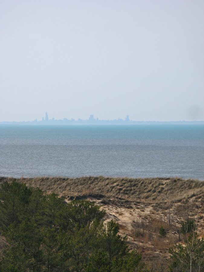
Indiana Dunes State Park
The state park covers 2,182 acres with more than three miles of beach. Its daily gate fee is $7 for cars with Indiana plates and more for out-of-state plates, as of November 2026, and dogs are not allowed on its beach.
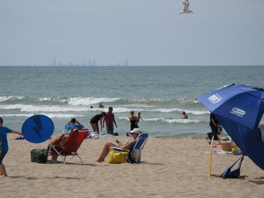
The park’s best-known walk is the 3 Dune Challenge, about 1.5 miles over Mount Jackson, Mount Holden and Mount Tom, the tallest of the three at 192 feet, with 552 feet of total climbing. It starts on Trail 8 by the nature center. Do it in the afternoon; the wooded summits give you more trees than horizon.
Kemil Beach and Lake View: the skyline sunset
This is my pick for one evening on the shore. From Kemil Beach in Beverly Shores, Willis Tower sits at about 293 degrees, 35 miles away, and the sun sets behind it around May 4 and 5 and again around August 6 and 7. For a week either side, a long lens still puts sun and towers in one frame. Lake View, a short way east, lines up a day or so earlier in May and later in August.
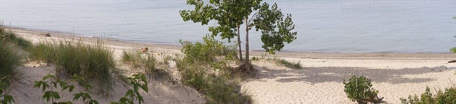
The parking lot sits in a dune blowout south of the beach, and you walk the last quarter mile on a path beside Kemil Road. Kemil Beach is the one stretch of the national park listed as open 24 hours, which makes it the place to stay for the blue hour and the city lights coming on. Most other beach areas close at 11 p.m.
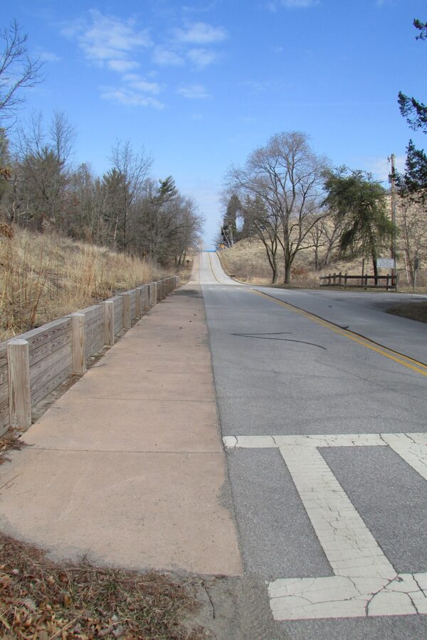
Portage Lakefront and Riverwalk
At the western end of the park, Portage Lakefront sits on the Burns Waterway with picnic tables looking toward the Chicago skyline, roughly 30 miles off. The port and mills are next door, so I like it for a moody winter or storm evening more than a postcard one. Only people actively fishing may stay past the 11 p.m. closing.
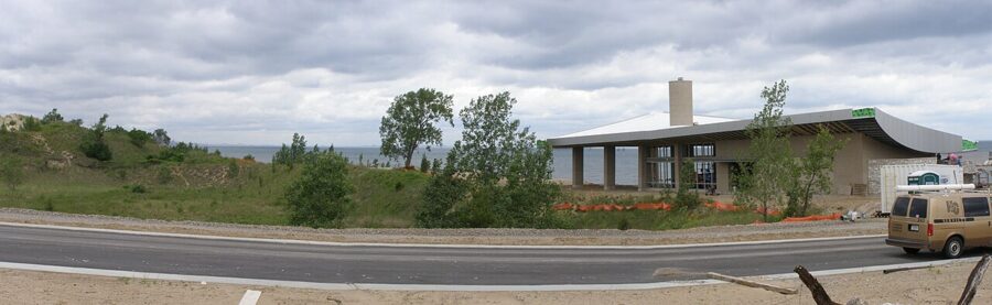
Mount Baldy
Mount Baldy, near Michigan City, is the park’s big bare dune, about 126 feet above the lake and moving inland five to ten feet a year. The summit is off limits unless you go with park staff. On July 12, 2013, a six-year-old boy fell into a hole that opened in the dune and was buried under about 11 feet of sand for more than three hours; he survived, and researchers later traced the holes to buried trees rotting inside the dune.
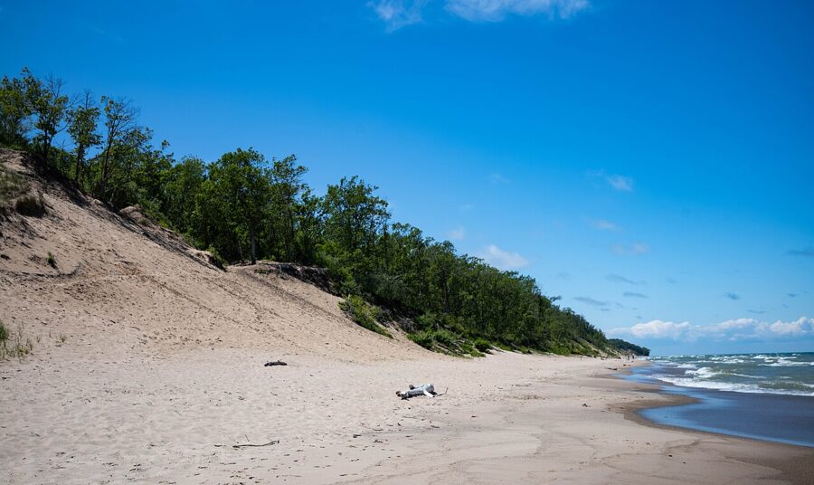
The park runs ranger-led daytime and sunset hikes to the summit on summer weekends, listed in its calendar and its newspaper, The Singing Sands. The sunset ones are the best seat on the eastern shore. Down below, a sandy trail of about a third of a mile leads from a 92-space lot at 101 Rice Street to the beach.
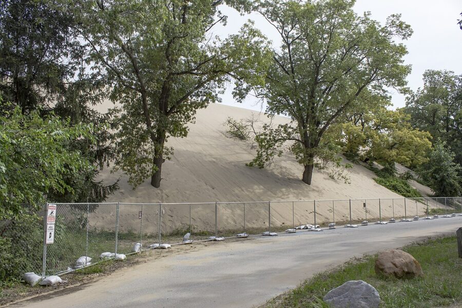
The Mount Baldy access closed from late March 2026 for a sand management project that was due to finish by mid-June. Check the park’s alerts page before you drive there.
Michigan City lighthouse
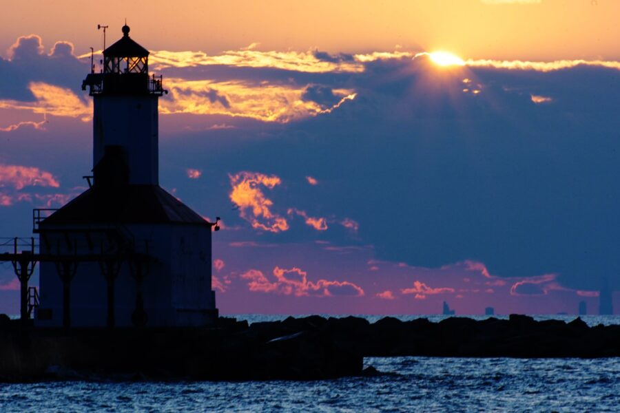
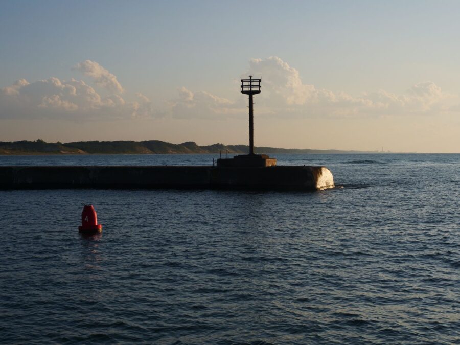
Just east of the park, Washington Park in Michigan City has the shore’s best foreground: the East Pierhead Lighthouse at the end of its breakwater, with the old raised catwalk running out to it. From the middle of the beach the light stands due west, so the sun sets right behind it around March 16 and 17 and again around September 25 and 26. Walk east along the sand and the alignment moves toward early March and early October.
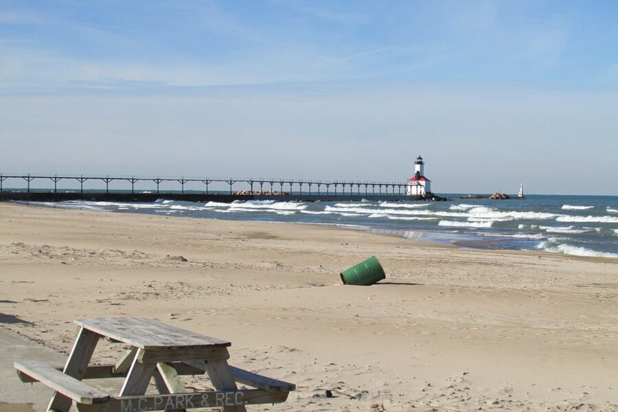
From Washington Park the Chicago towers sit at about 286 degrees, 39 miles away, and the sun sets behind them around April 17 and August 24. The park, on Central Time, opens at 5 in the morning and closes at 10 at night, or midnight on Fridays and Saturdays. Parking runs on daily or annual city stickers; the parks department lists current prices.
Winter on the shore
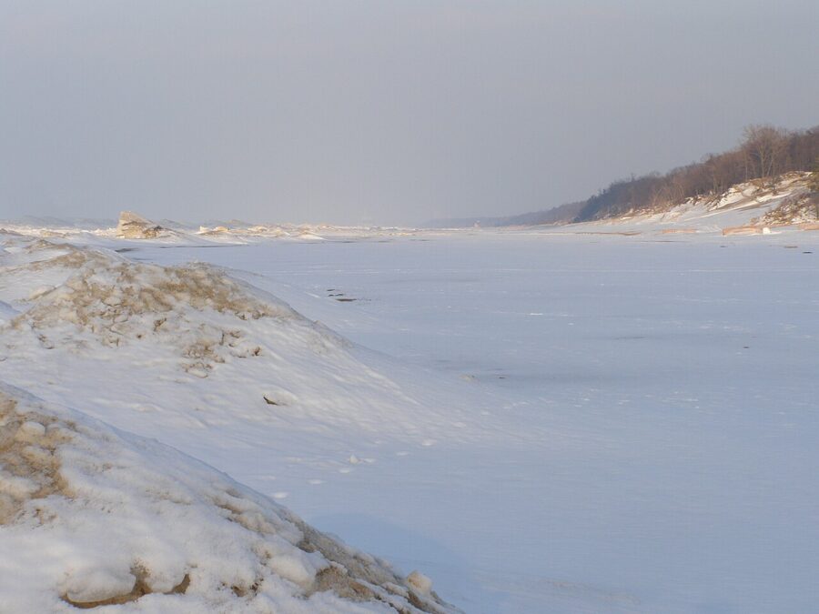
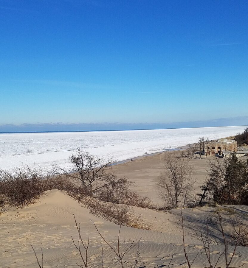
In winter the shore empties and the sun sets over the land and industry to the west, so the ice becomes the subject. Lake Michigan builds ridges of shelf ice along the beach, and the park warns visitors to stay off it because it hides thin spots and gaps. Shoot it from the sand.
The kettle lakes of Kosciusko County
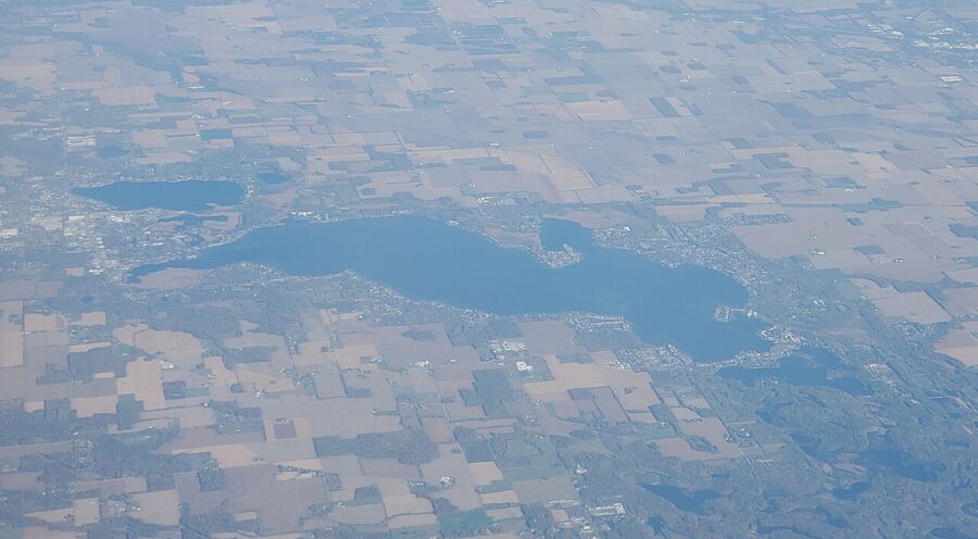
Kosciusko County, around Warsaw, has more than a hundred lakes. The 1966 marker names Wawasee as the largest and Tippecanoe as the deepest, and most of the others are kettles: hollows left where buried blocks of glacial ice melted. Most of their shoreline is private, so public access is the whole puzzle.
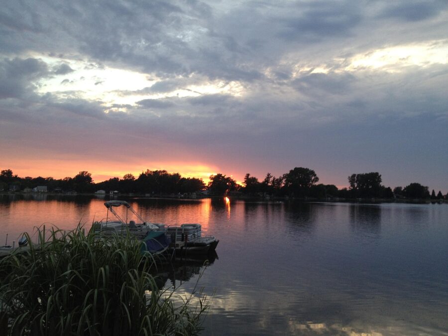
A lake doubles the color, and summer wind often drops at dusk, when reflections are best. If you use a polarizer in the afternoon, take it off as the sun goes down, or it will kill the reflection you came for.
Webster Lake
Webster Lake, at North Webster, is about 650 acres of open water and reaches 52 feet deep. The public beach is at Ziegler Park, the town park, on Himes Street. It sits on the west side of the lake, so it looks east across the water: this is a sunrise beach. In the evening, the low sun turns the far shore and its cottages gold.
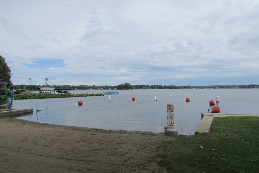
The state’s boat launch is a mile east of town on Backwater Road, on the Backwaters, which connect to the main lake through a culvert. It is a working launch. If you stop there for the light, park out of the trailer spaces and keep the ramp clear.
Waubee Lake
Waubee Lake, about two miles southeast of Milford, is 187 acres and 51 feet deep, and the public way in is Waubee Park on Camp Mack Road, with a beach and a boat launch. It is a small, quiet lake: still water, a tree line and whatever the sky is doing. Check the park’s posted hours and entry fee before an evening visit. Camp Mack Road runs along the north shore, so you look south across the water: winter suns set over the lake, summer ones off to your right over land.
Lake Wawasee and Chain O’Lakes
Lake Wawasee, at Syracuse, is the largest natural lake entirely inside Indiana, about 3,000 acres. Most of its shore is private, and the public access site sits at the southern tip. From there you look north across the lake, which puts the summer sunset off to your left over the west shore.
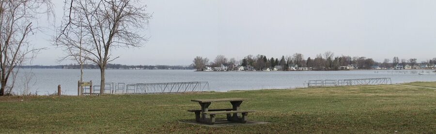
For water you can actually walk around, drive about half an hour east to Chain O’Lakes State Park near Albion, in Noble County. It has 13 lakes, nine of them joined by channels that glacial meltwater cut, and the park’s own paddling challenge strings all nine together over about five miles. The statewide gate fee applies: $7 for Indiana plates and more for out-of-state plates, as of November 2026.
A year of fields: corn, harvest, snow
Indiana farmers planted about 5.35 million acres of corn and 5.6 million acres of soybeans in 2026, by the federal crop estimate in June. That is most of what you will be looking at between the lakes, and it changes the picture month by month.
Spring, April and May. Planting season. Fields are bare, dark and often wet, and standing water in the low spots reflects the sky like a scattering of small lakes. Watch for tractors on the roads.
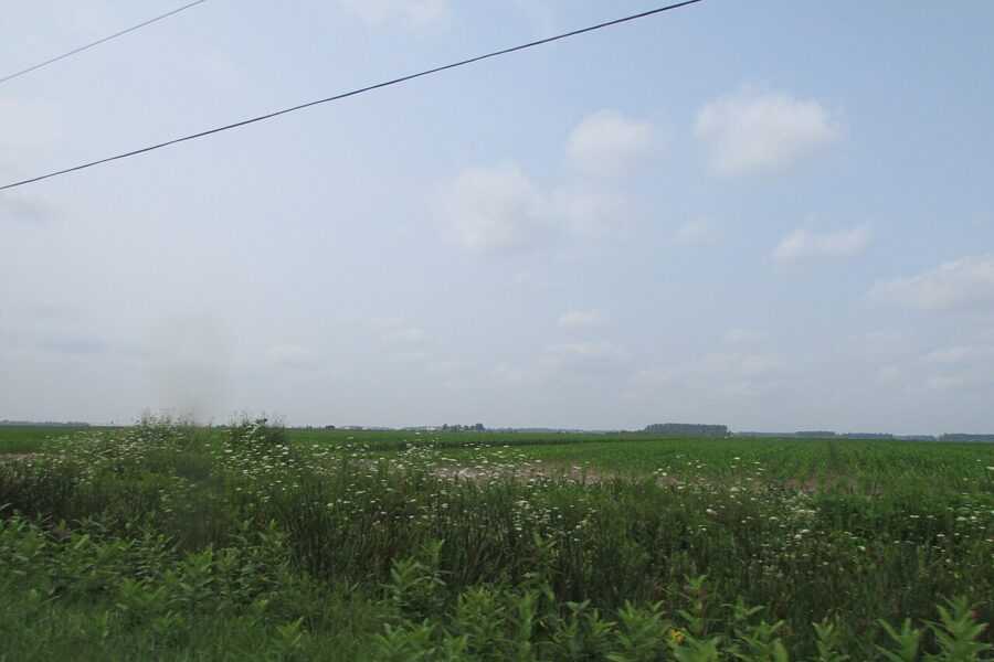
Summer, June to August. By late July the corn stands over your head, and from the roadside you see nothing but leaves. Look for soybean fields, which stay low, or a rise in the road to shoot over the corn. Humid evenings turn the sun soft and orange well before it reaches the horizon.
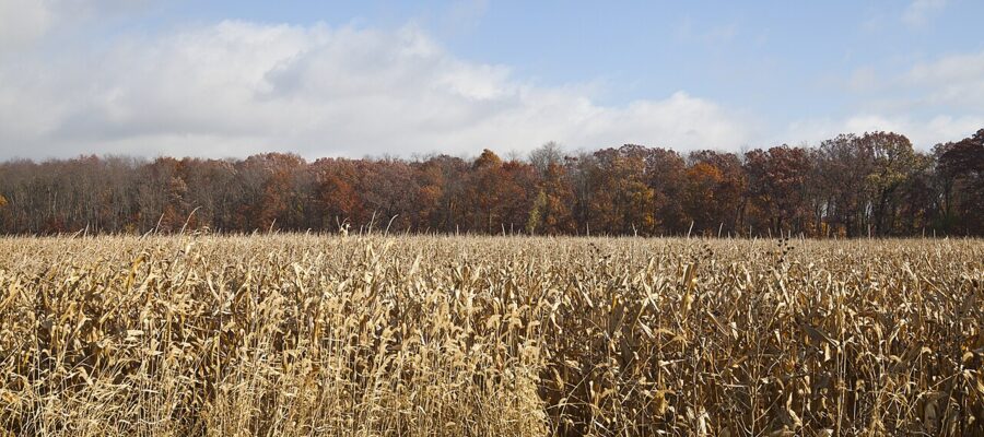
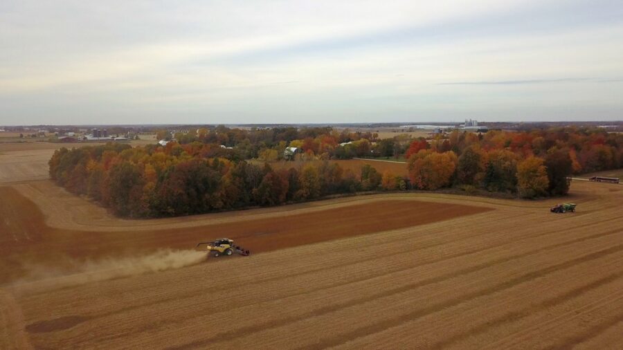
Autumn, September to November. Harvest is my favorite season here. The corn dries to gold, combines run into the evening with their lights on, and the dust they throw up catches the low sun. It goes fast: by November 15, 2026, Indiana’s corn harvest was 93 percent done and soybeans 96 percent, so by mid-November you are photographing stubble.
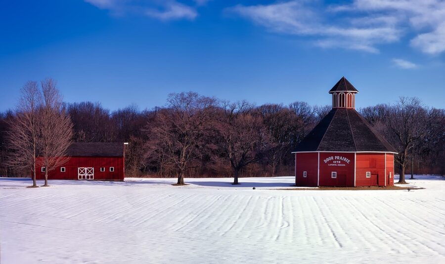
Winter, December to March. Snow simplifies everything. A barn on white ground under a pink sky is about as reduced as a picture gets, and the sun sets early enough to catch it before dinner. Cold air is also clearer air, so this is the best season for long views across the fields.
Storm light, and when to leave
Indiana’s best skies often arrive with its worst weather. Summer storms tend to roll in from the west in the evening, right where you are pointing the camera, and a shelf cloud lit orange from underneath by a low sun is a picture people wait years for. It can also be the leading edge of something dangerous.
On the evening of June 11, 2026, the National Weather Service office for northern Indiana confirmed at least 14 tornadoes between about 9:30 and 11 at night, Eastern time. One crossed from Marshall County into Kosciusko County between Bourbon and Hastings; another did EF-3 damage at Kouts in Porter County. That was sunset and blue hour, in the same counties as the lakes and dunes above.
Check the forecast and radar before you leave and keep checking. Park facing the way out, and if you hear thunder, get in the car. Never shoot a storm from a spot you would have to drive toward it to leave.
Private land, county roads and Amish country
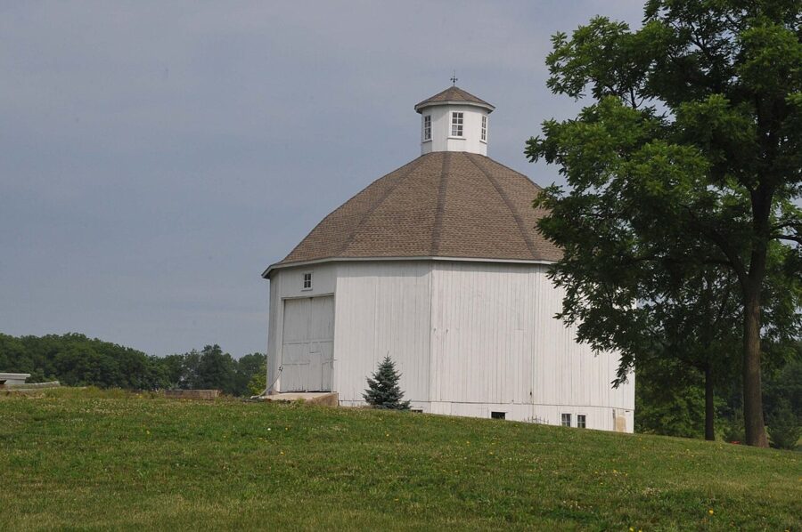
Almost every field, barn and lane in northern Indiana is private. A farm lane is a driveway, not a pull-off. Crop rows are someone’s income, and a trampled path into the corn for a better angle costs them money. Shoot from the public road and its right-of-way, or ask at the house.
Watch the fence posts and trees too. Under Indiana’s trespass law, a landowner can mark land with purple paint instead of signs, and a purple stripe means the same as a no trespassing sign. You will see it on woodlots and field edges across the north of the state.
The roads have their own risks. Pull fully off the pavement onto a wide, firm shoulder, never just over the crest of a hill or on a curve, and turn your hazard lights on. During planting and harvest, big farm equipment with orange slow-moving vehicle triangles uses the same roads and can turn out of a field without warning. The state’s advice is to be patient, never pass in a no-passing zone, and not within 100 feet of an intersection, railroad crossing or bridge.
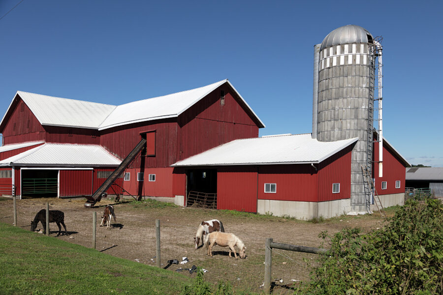
Elkhart and LaGrange counties, east of South Bend, are Amish country, and the Amish do not pose for photographs. Photograph the farms, the fields and the horses from a respectful distance, and leave people out of the frame. At dusk, watch for buggies on county roads. They are slow, dark and hard to see against a bright western sky, which is exactly the direction you will be looking.
For a first evening, pick one of the alignment dates, drive to Kemil Beach, and walk the quarter mile out to the sand 40 minutes early. Then stay: the beach is open all night, and the skyline lights come on after the color goes.